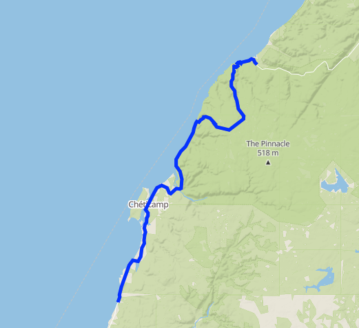
Second day of riding: Sarah drove the van, and brought us a lot of map advice and mobile support as we dealt with rain, wind, a number of climbs, and a descent on an unpaved road. We ended in a motel in Pleasant Bay. [38.2 mi]

in the morning it was raining |
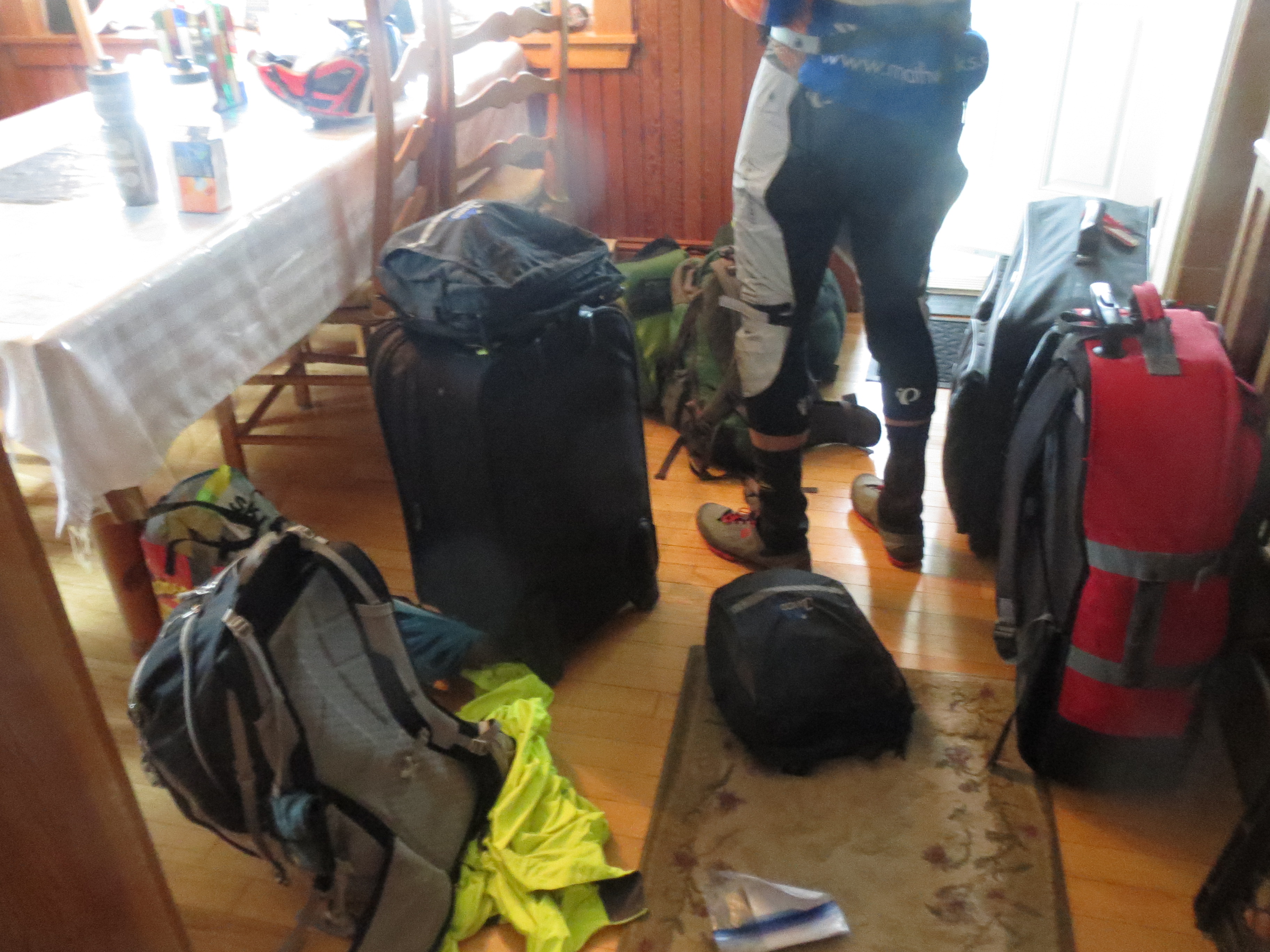
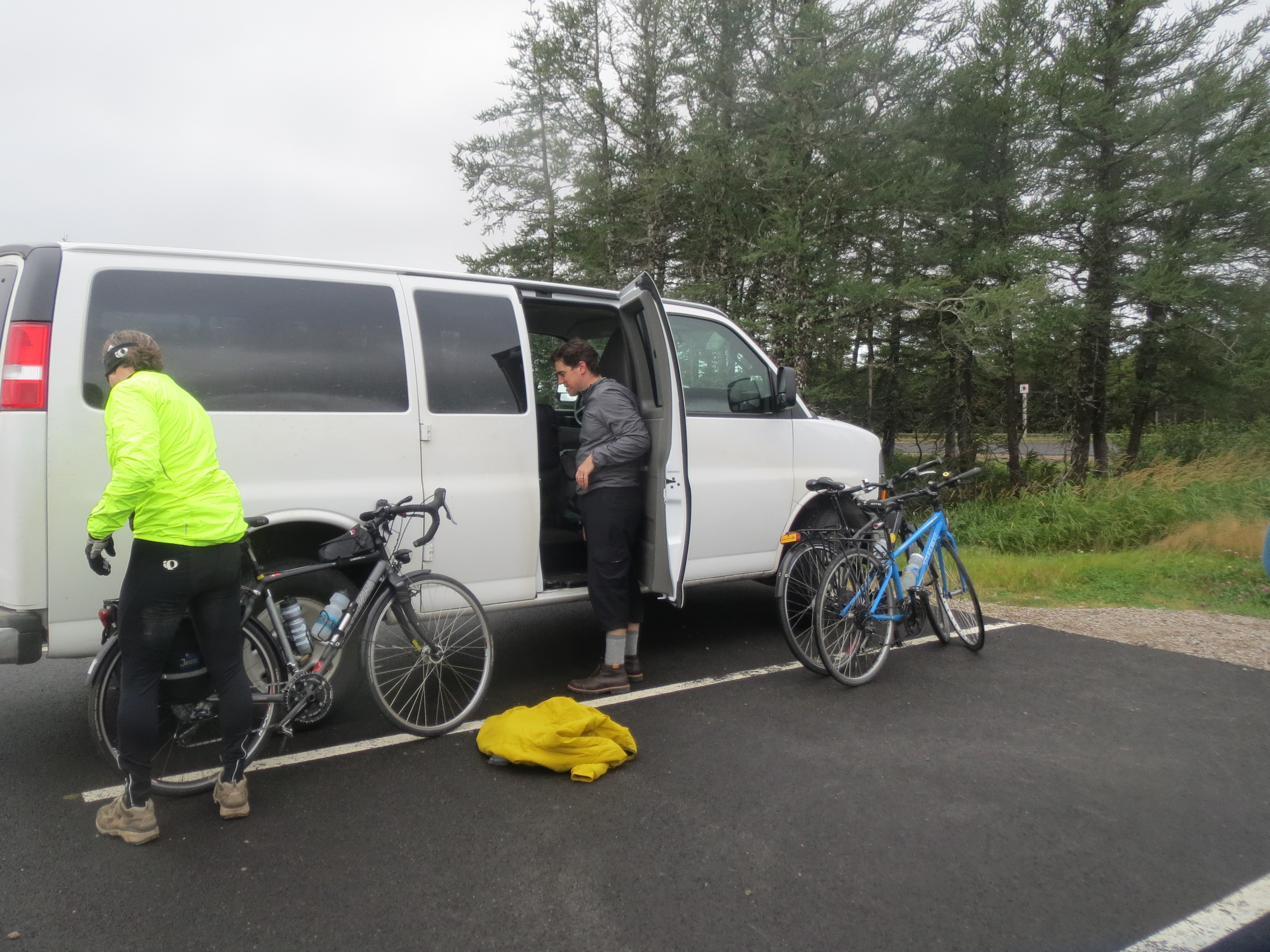
preparing to bike in the rain required a large amount of milling about and general panic |
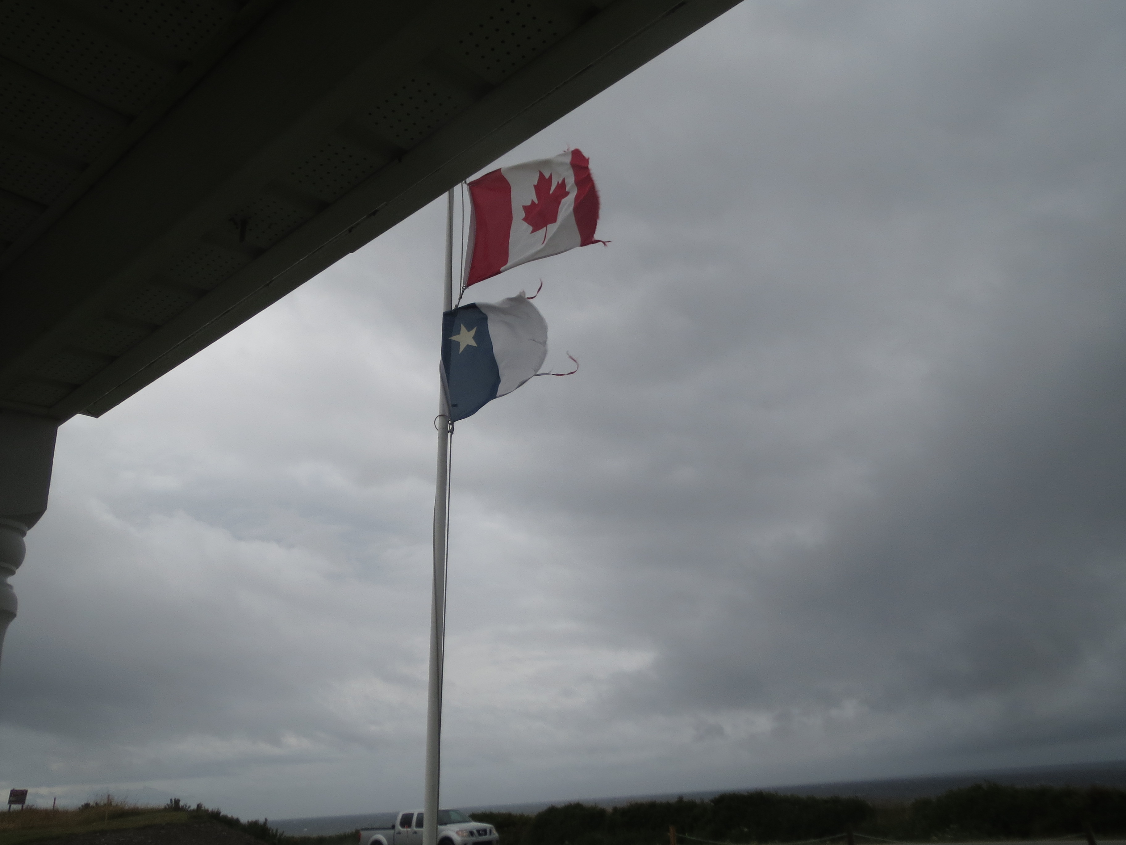
flags flapping in the rain |
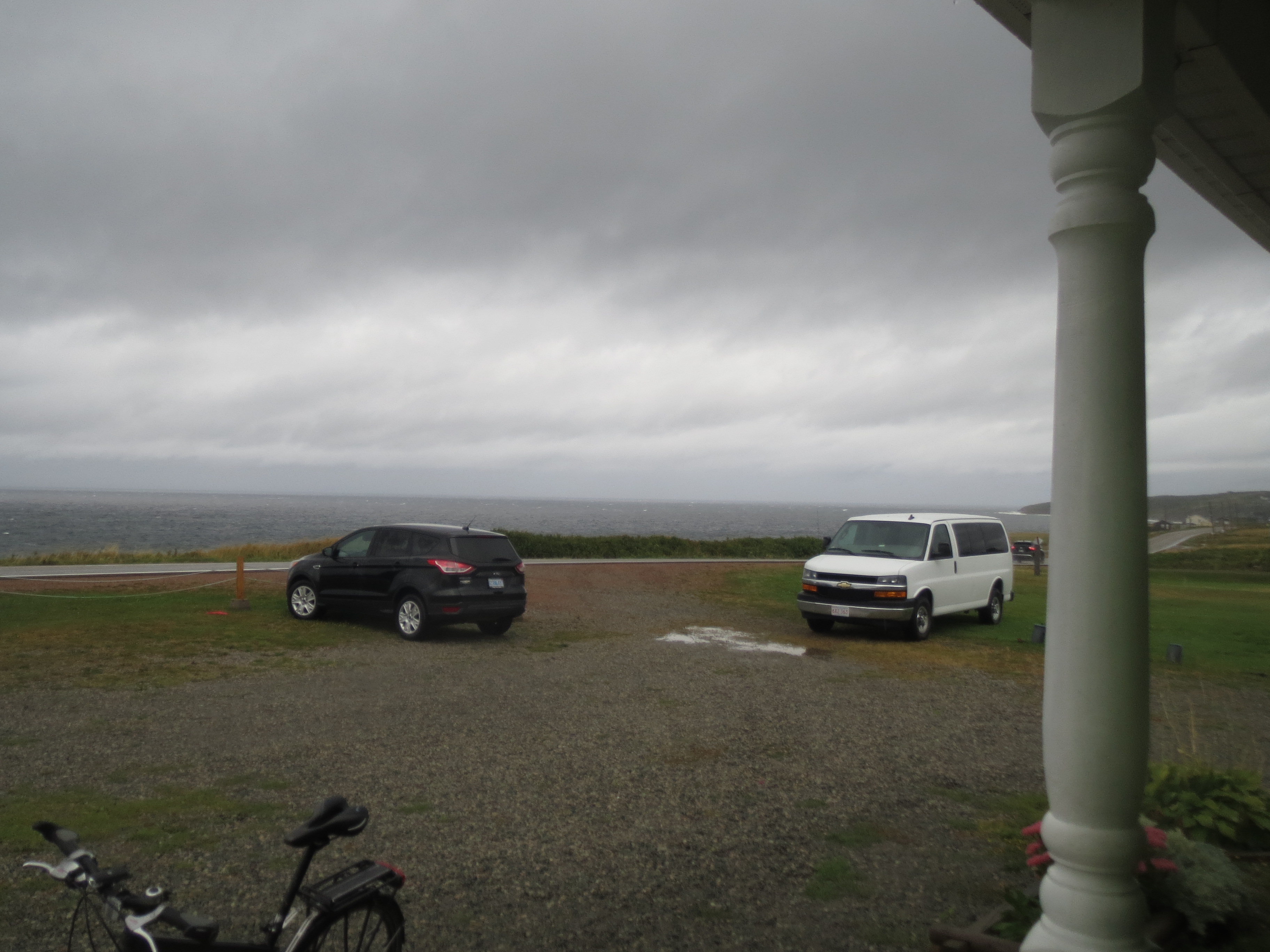
the clouds look ominous |
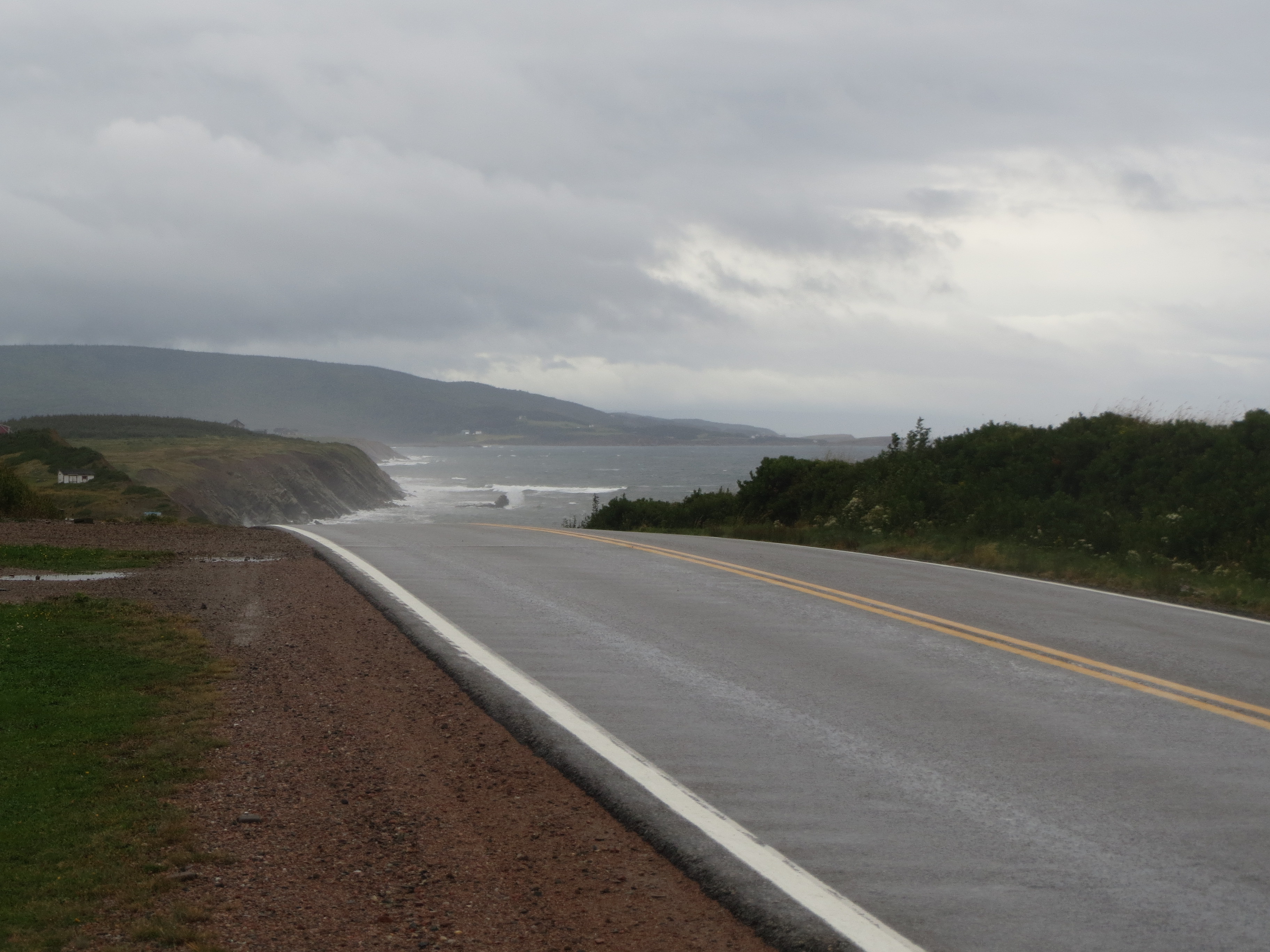
south along the coast in the rain |

the tops of the mountains are in cloud, but we head out anyway |
we are super intrepid |
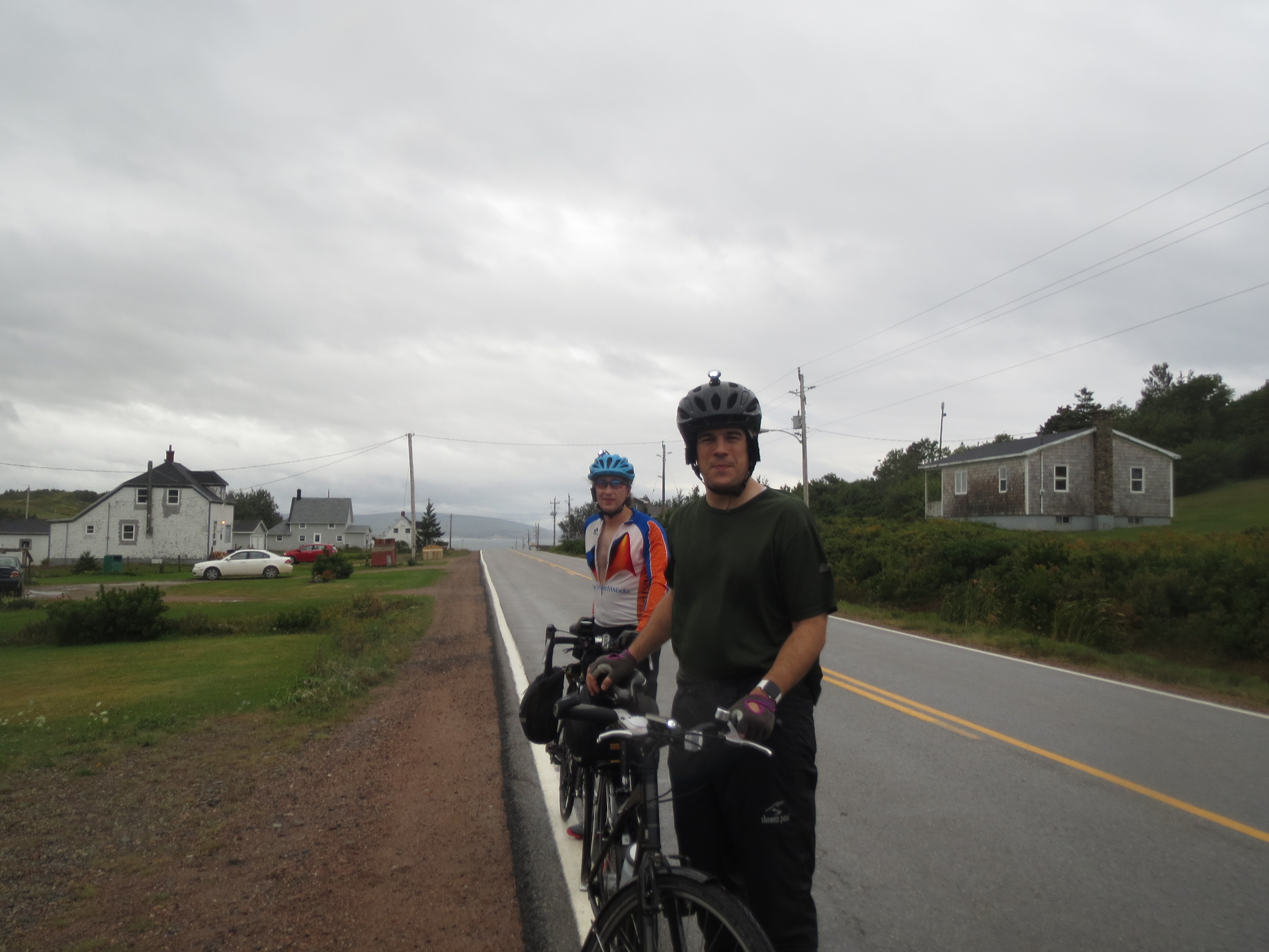
us, looking intrepid (Sarah is not here because she is driving today. Intrepidly) |
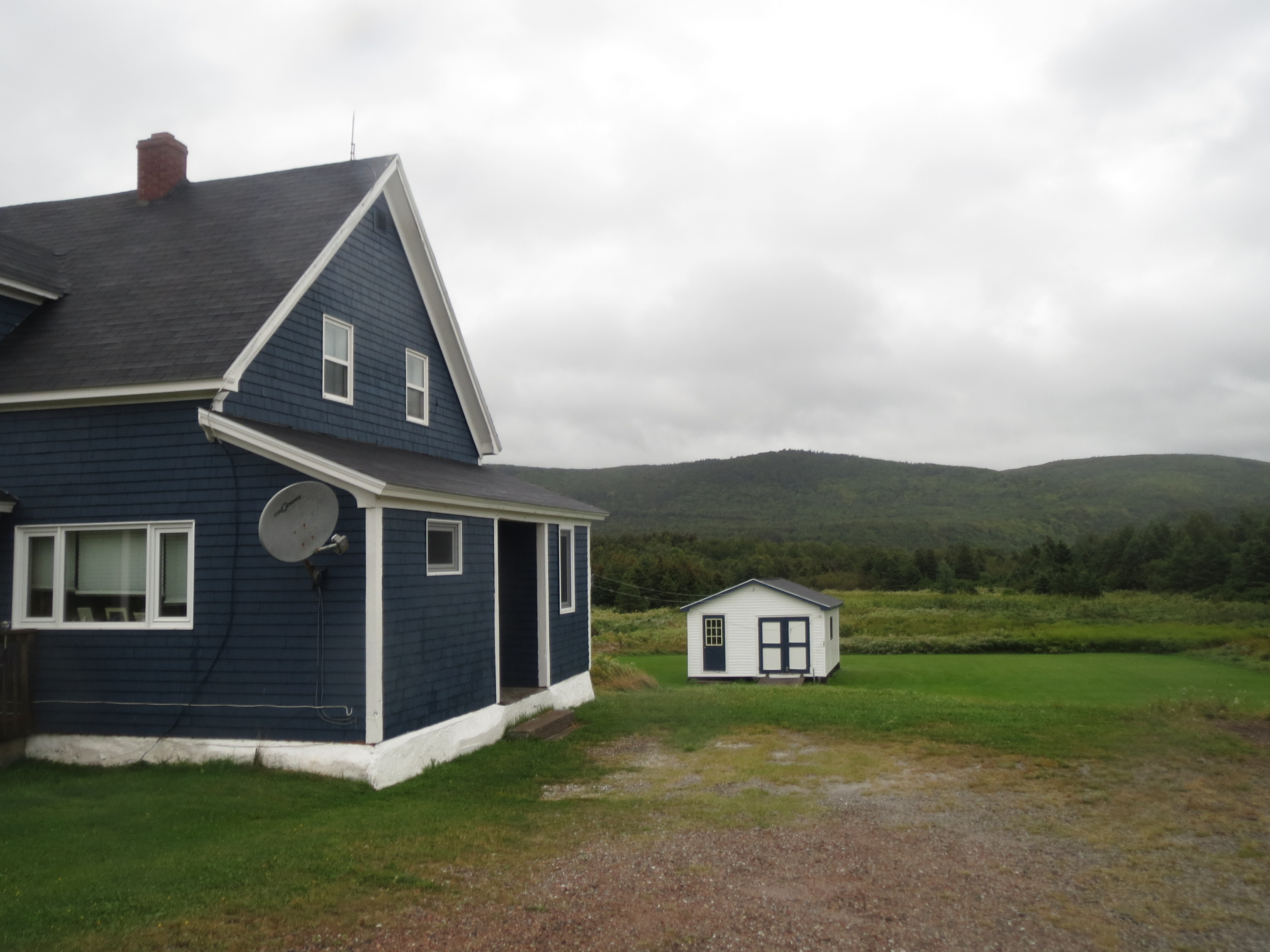
a house with blue shingles |
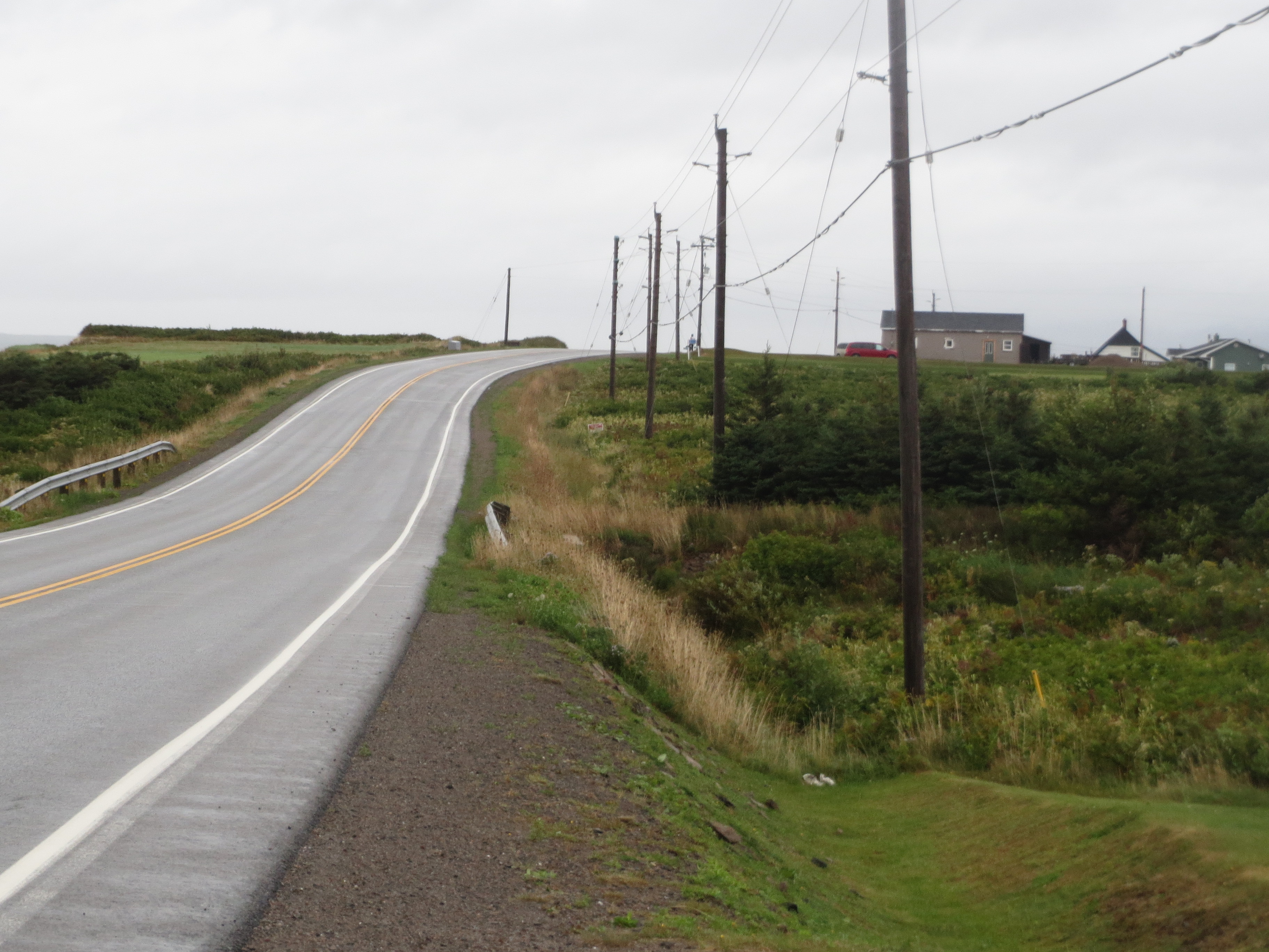
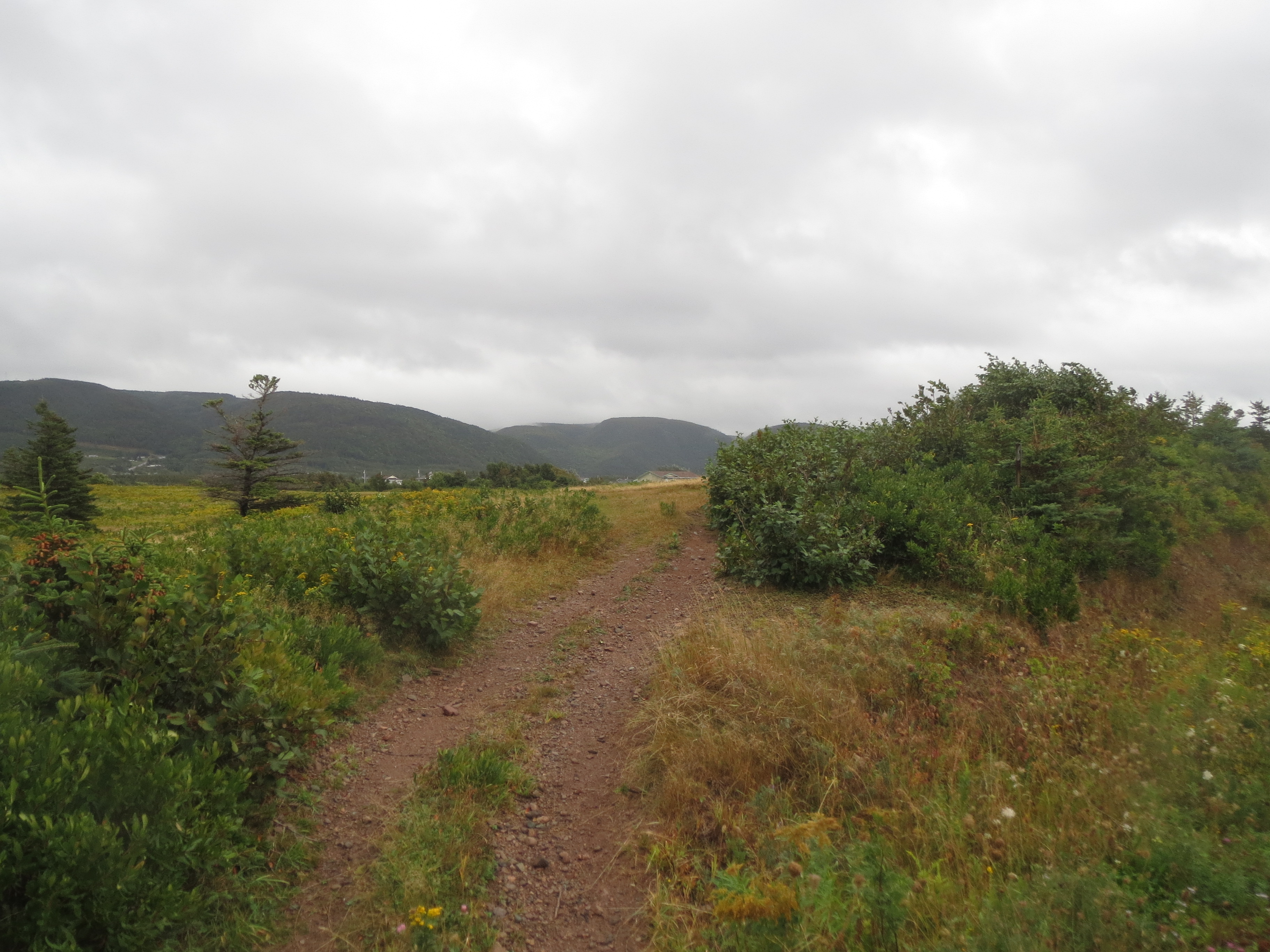
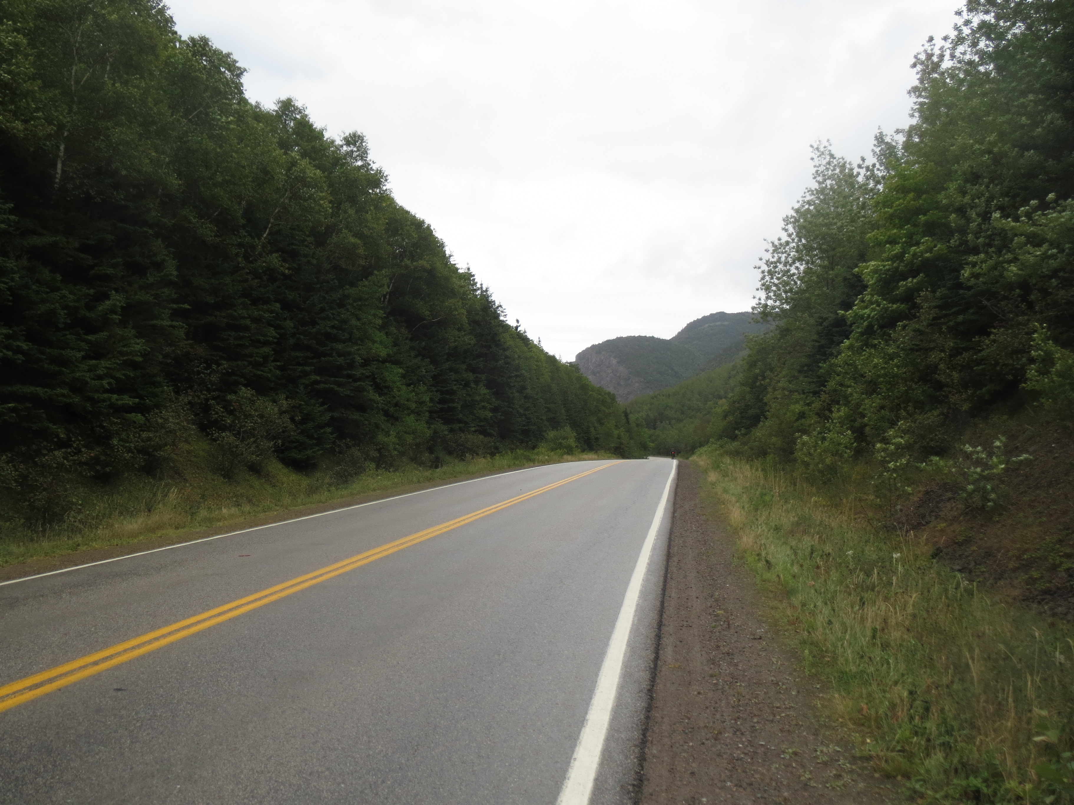
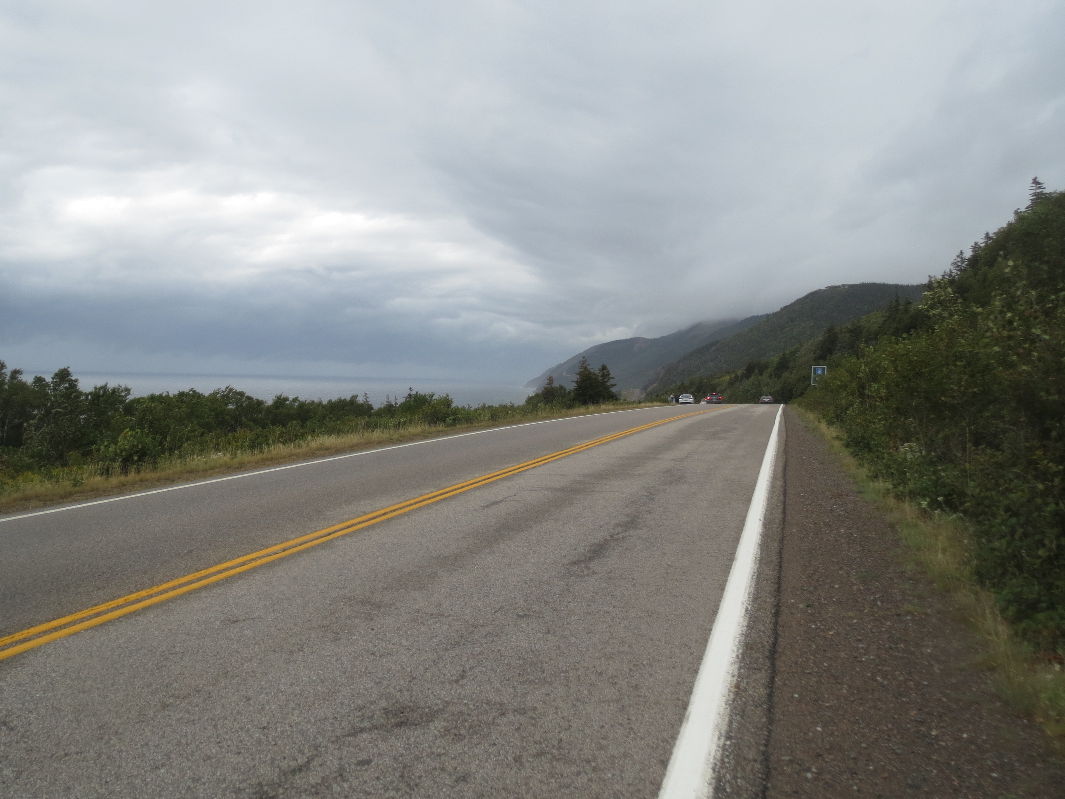
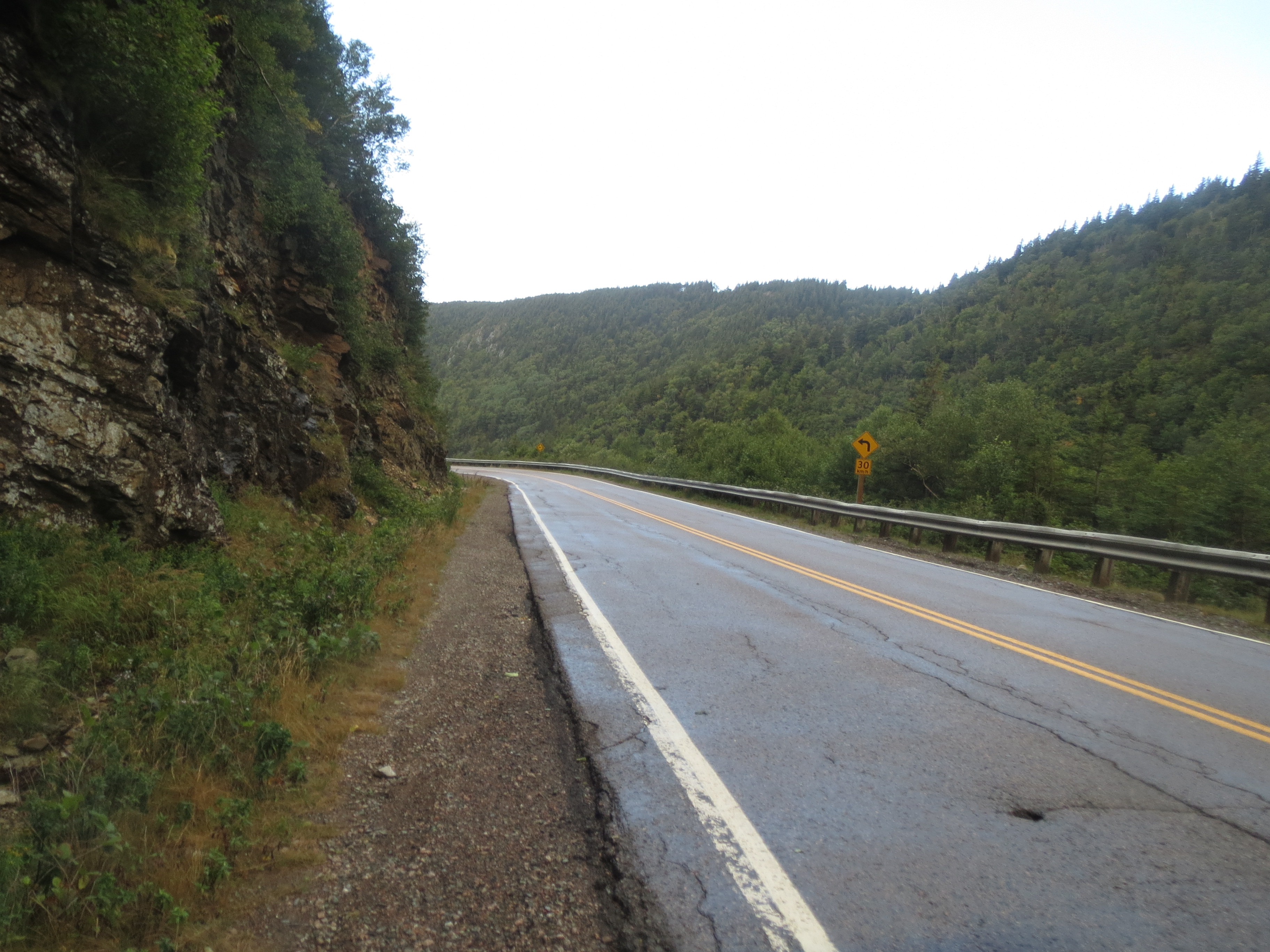
the road ahead |
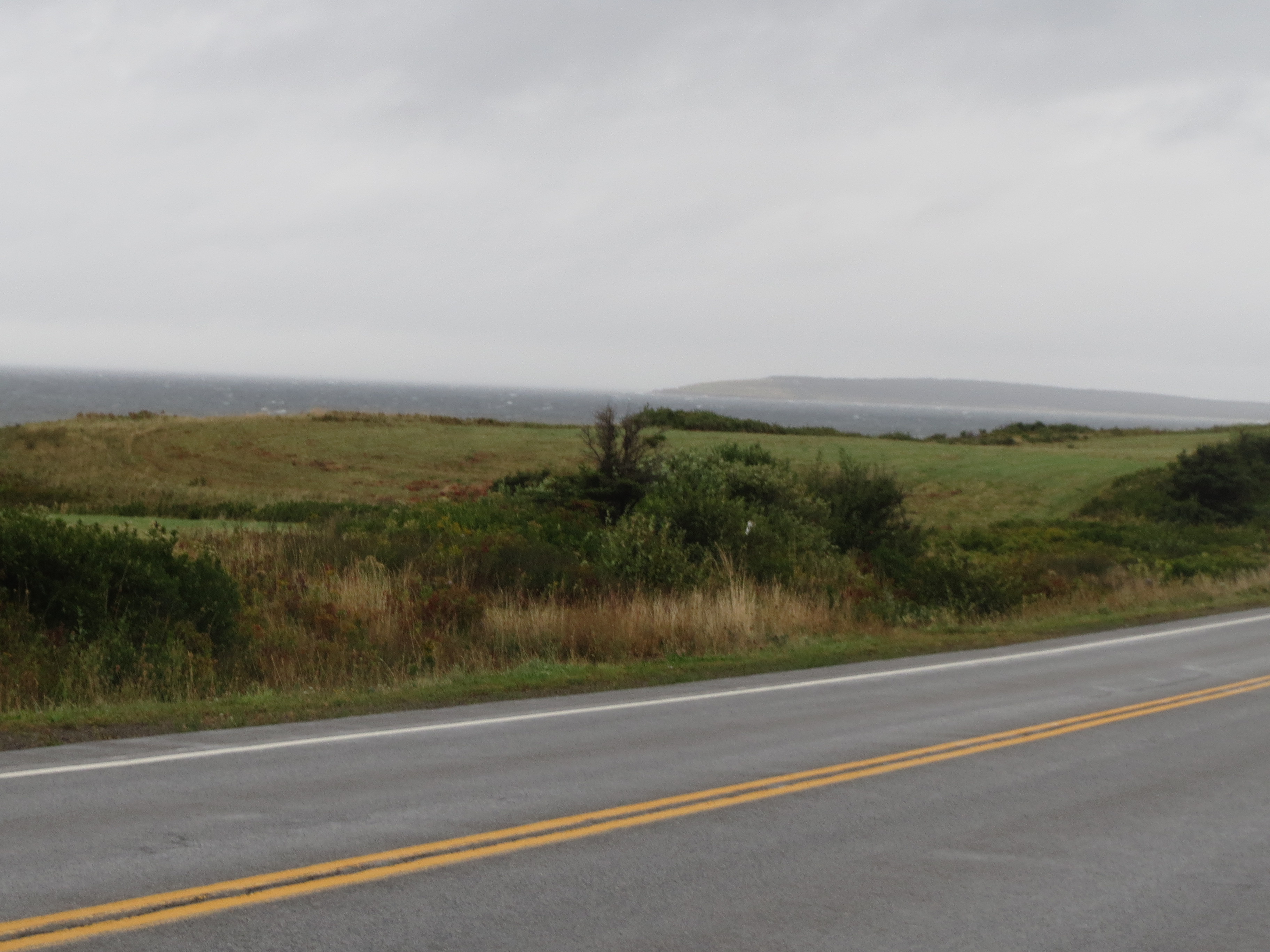
coast view |
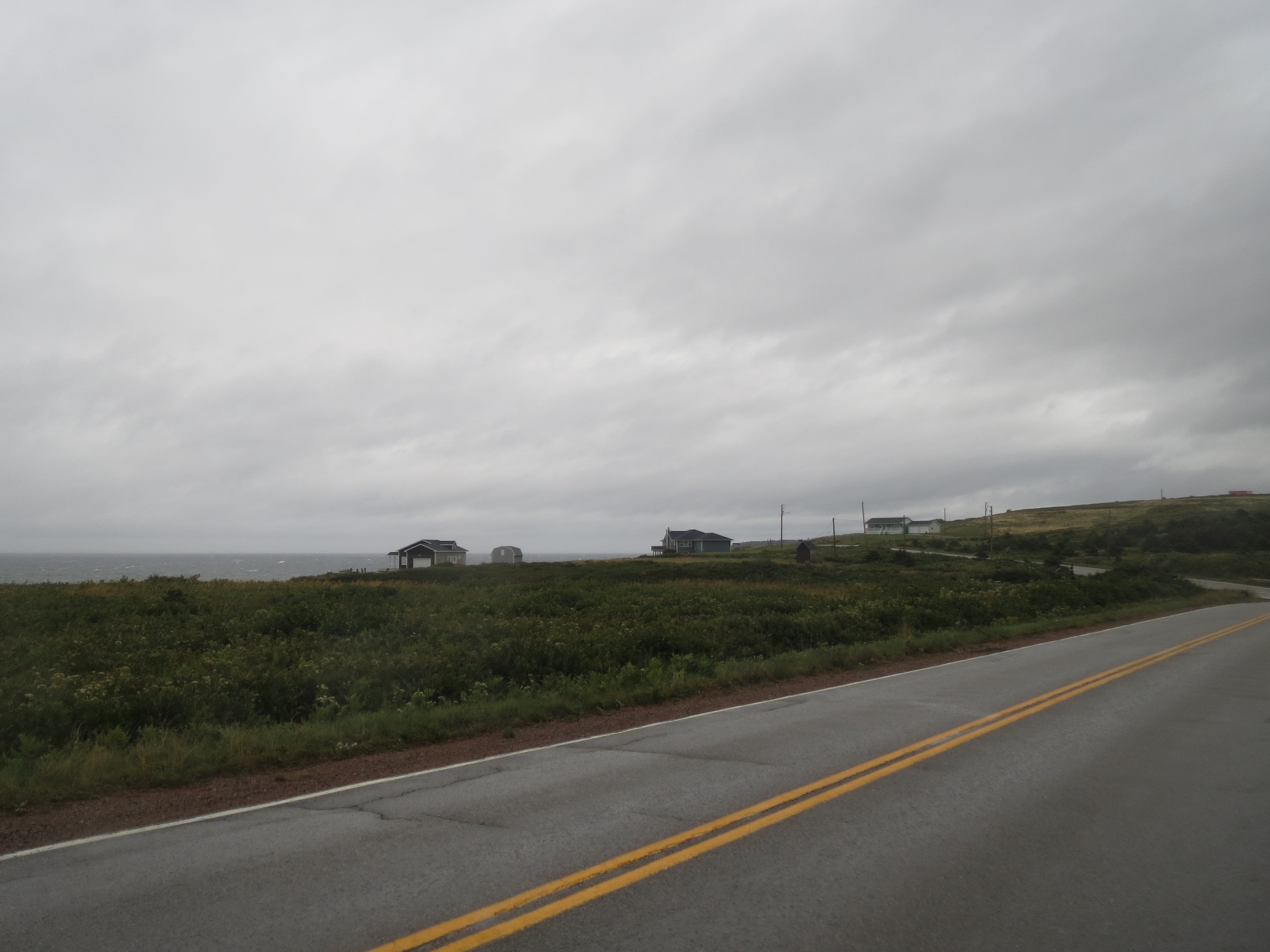
houses in the foothills |
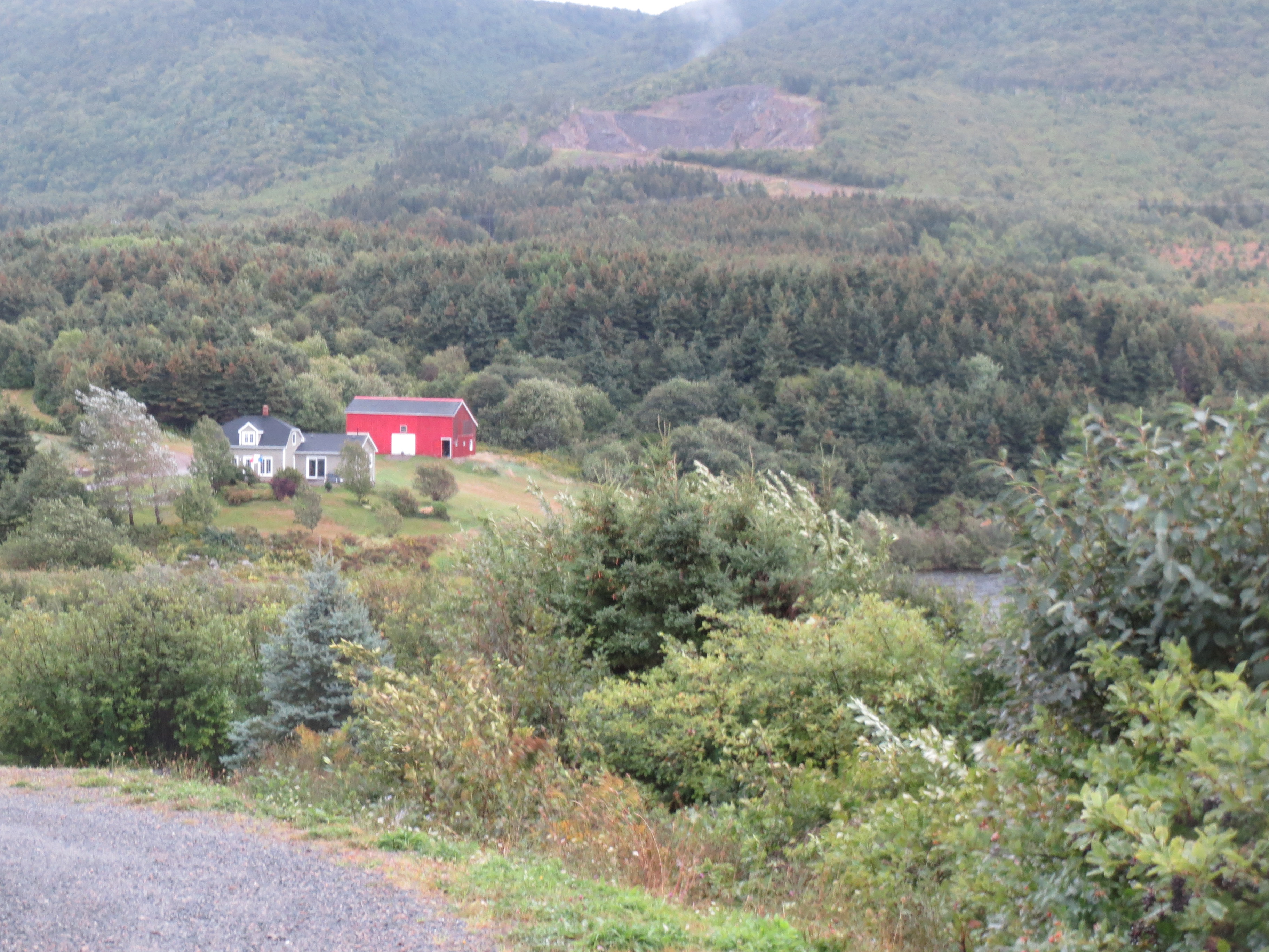
a mountain lake |

clouds |

bicycle touring bingo: a picturesque church on a hill becomes visible in the distance |
we think this is the turnoff for the Old Cabot Trail |

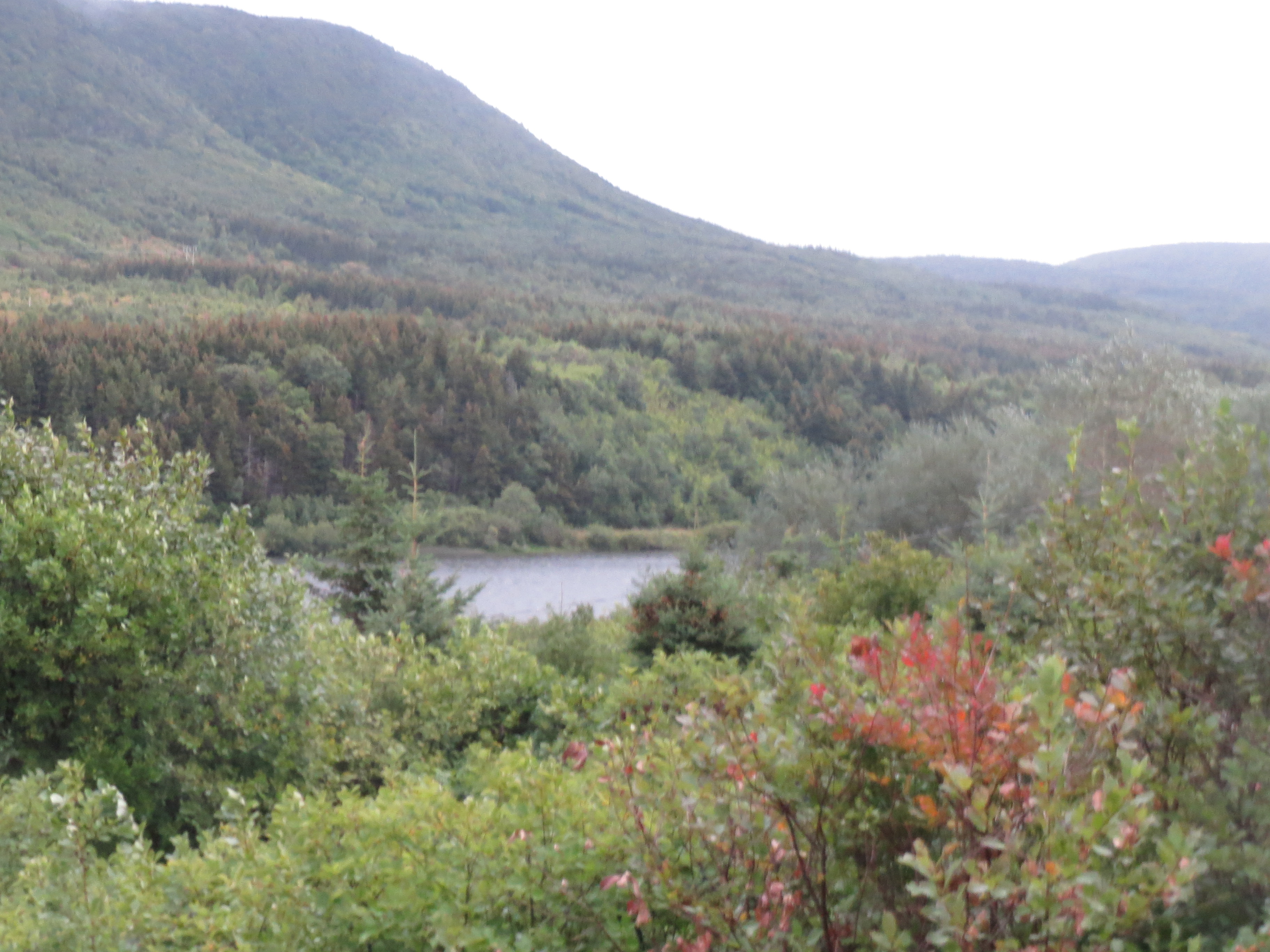
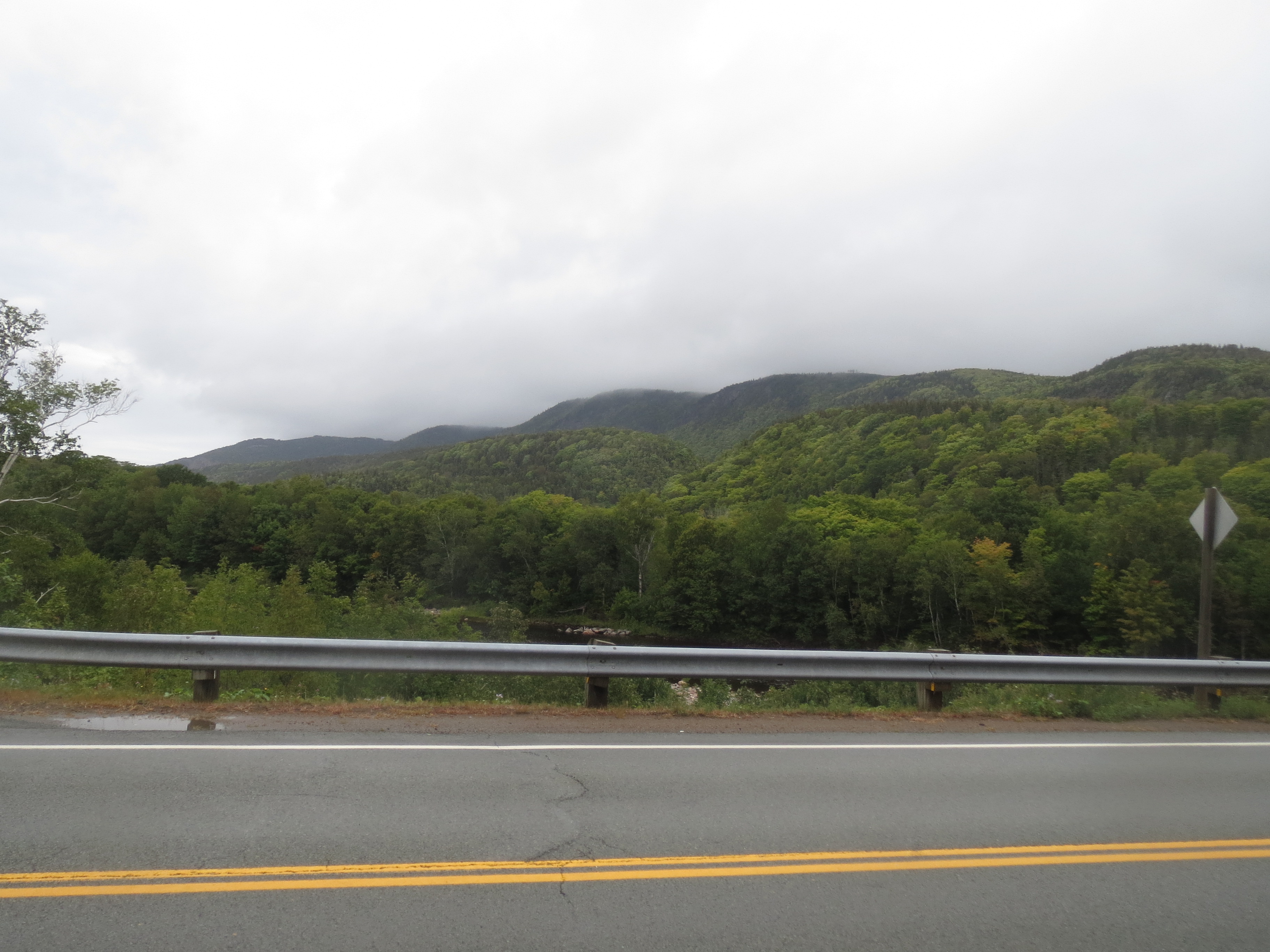
lake in front of mountains |
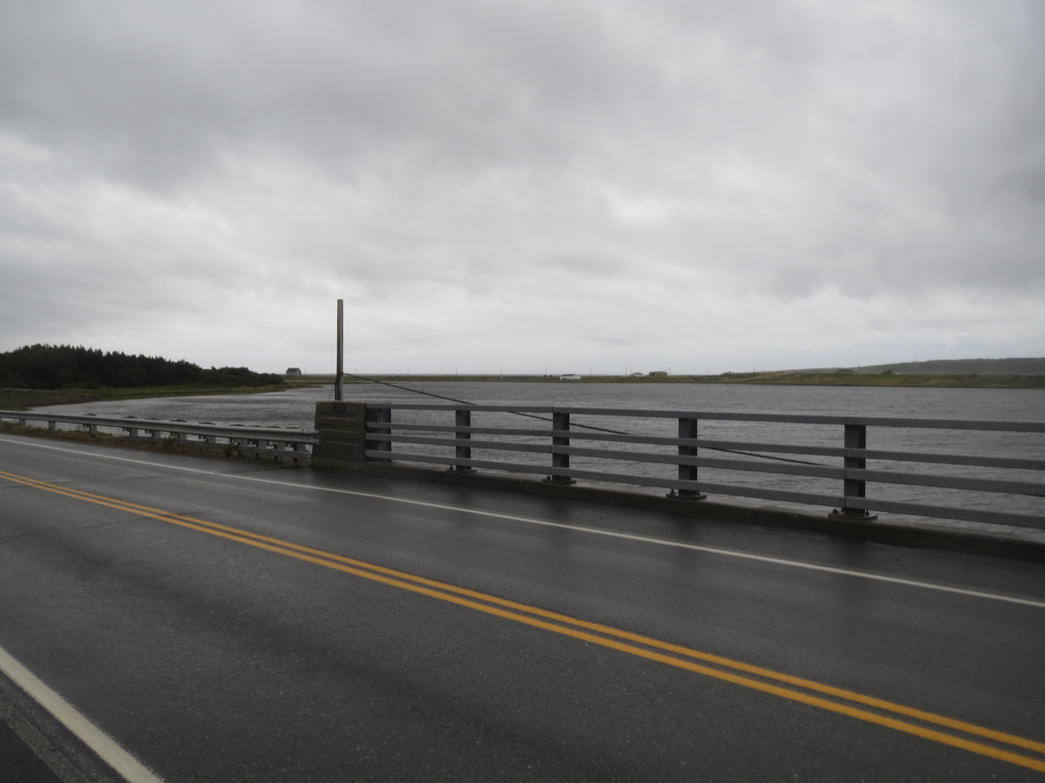
more lake |
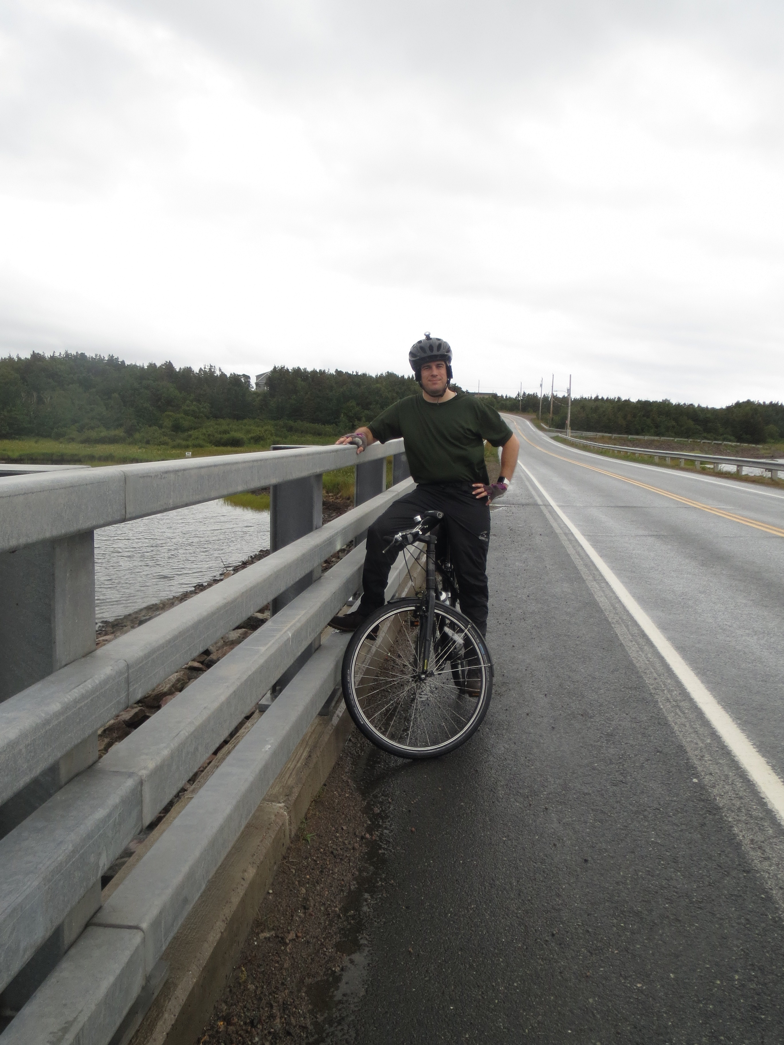
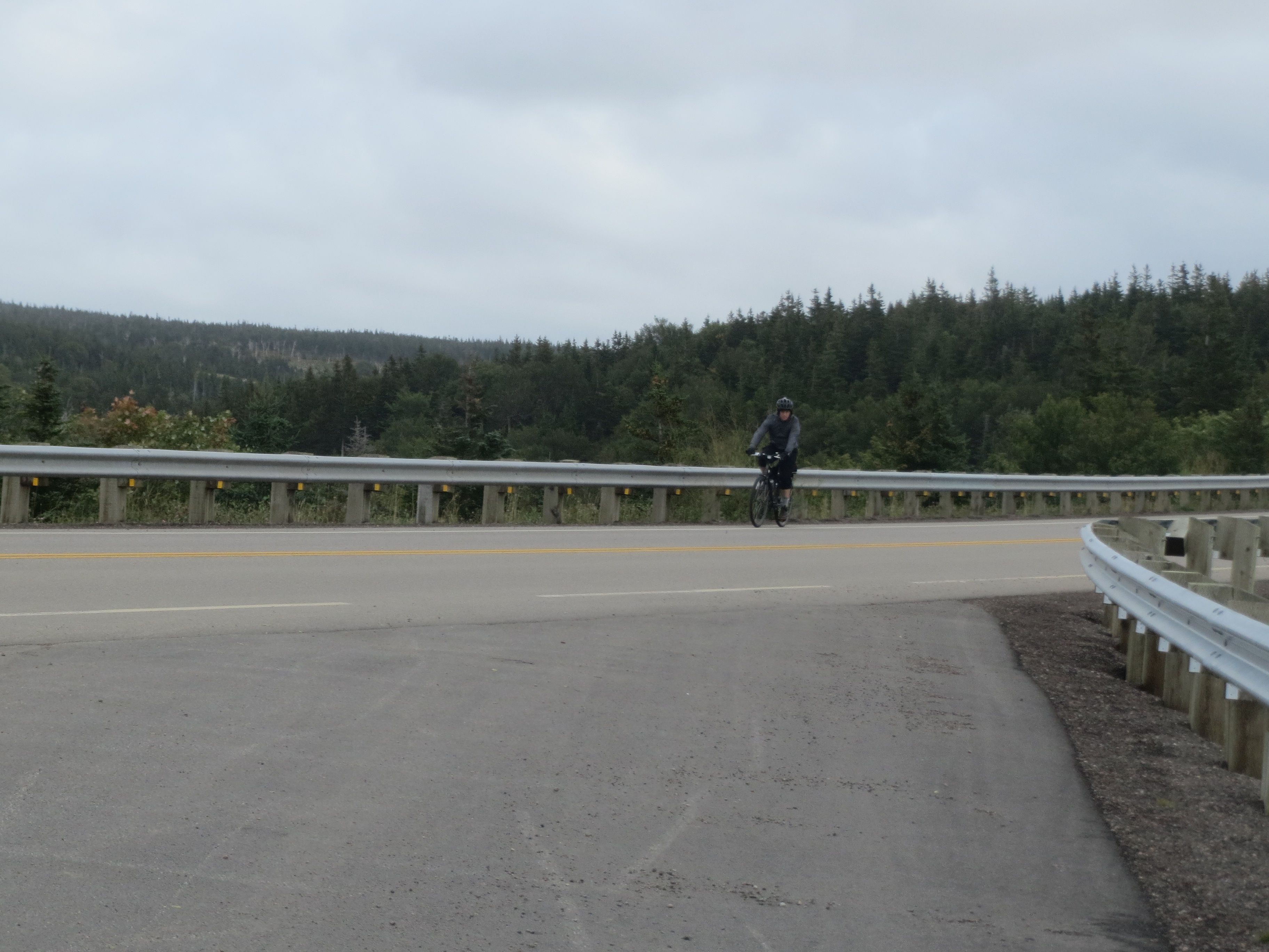
Scott on a bridge |
lake, mountains, clouds |
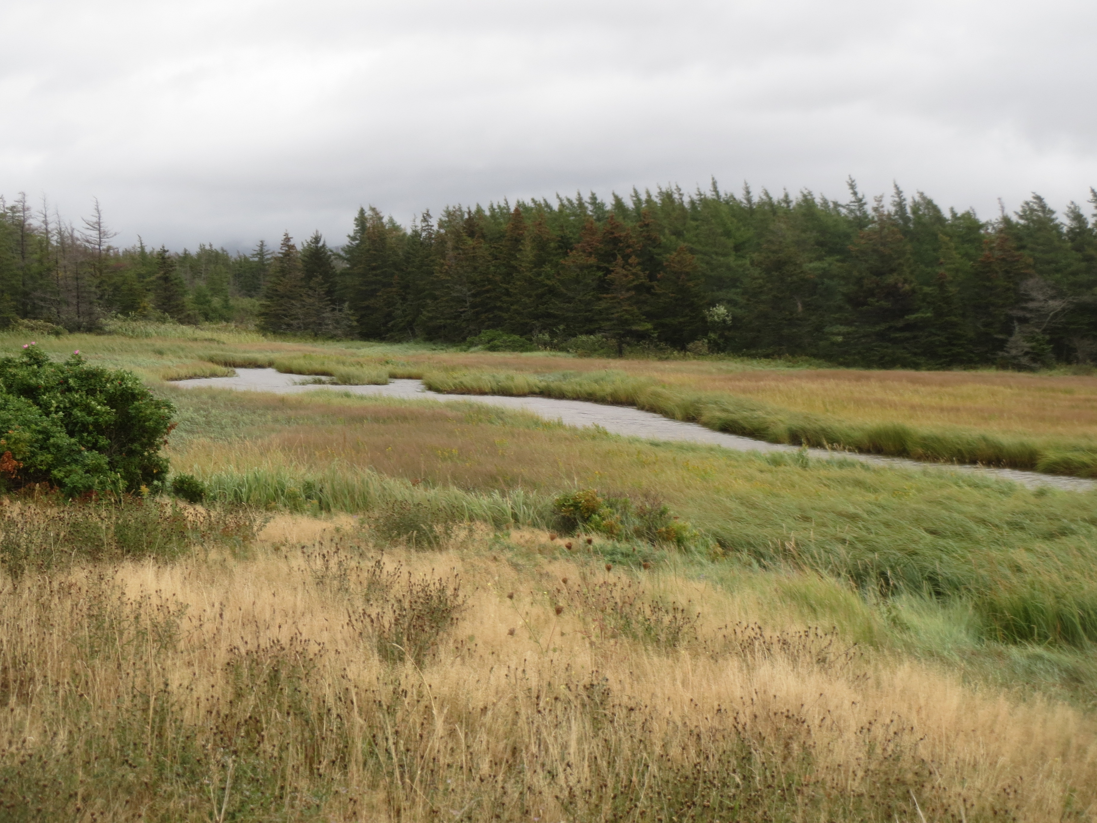
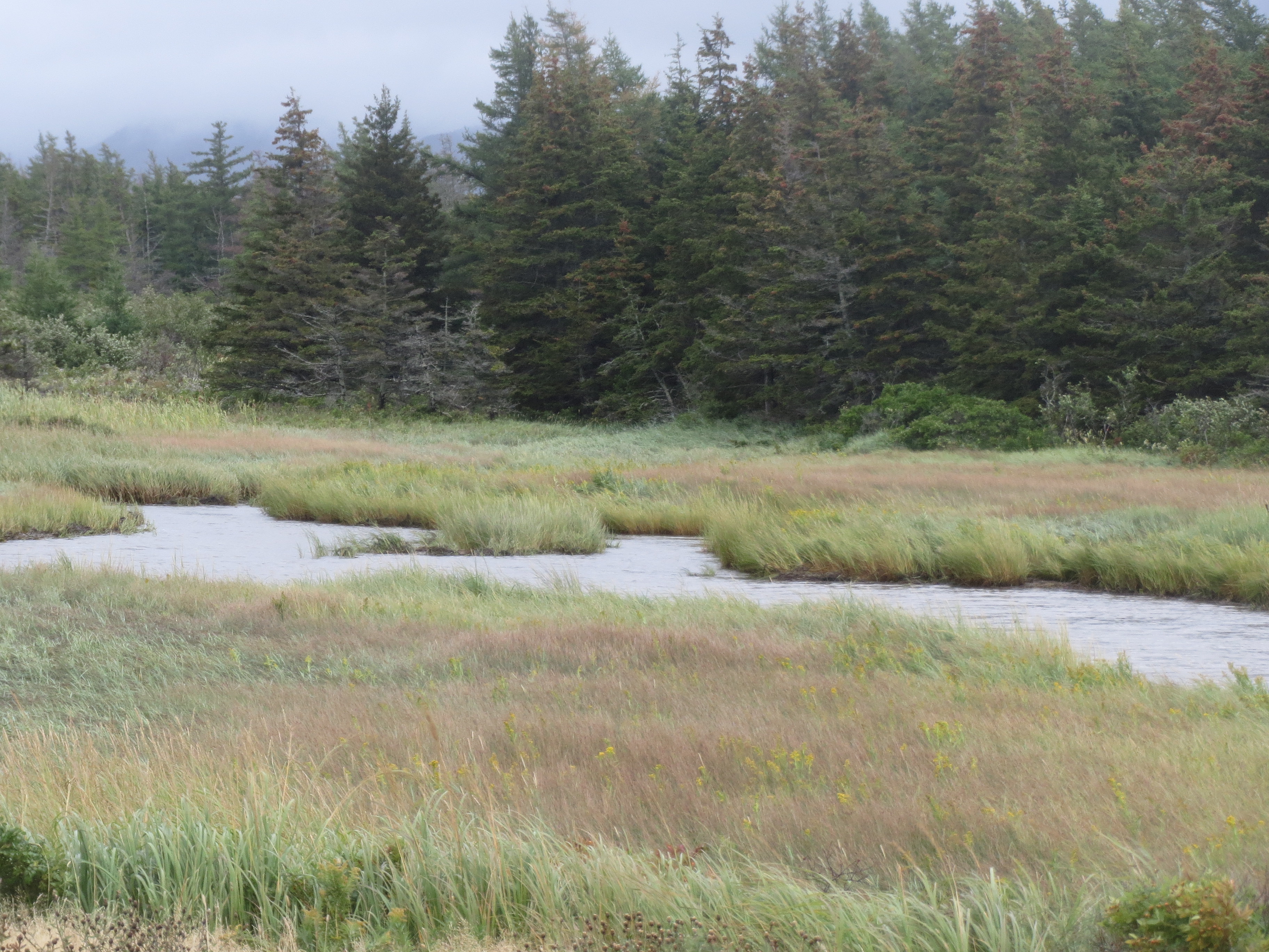
i stopped and went back for a picture of this stream cutting through a marshy area |
this isn't fall colors per se, but it's definitely some colors |
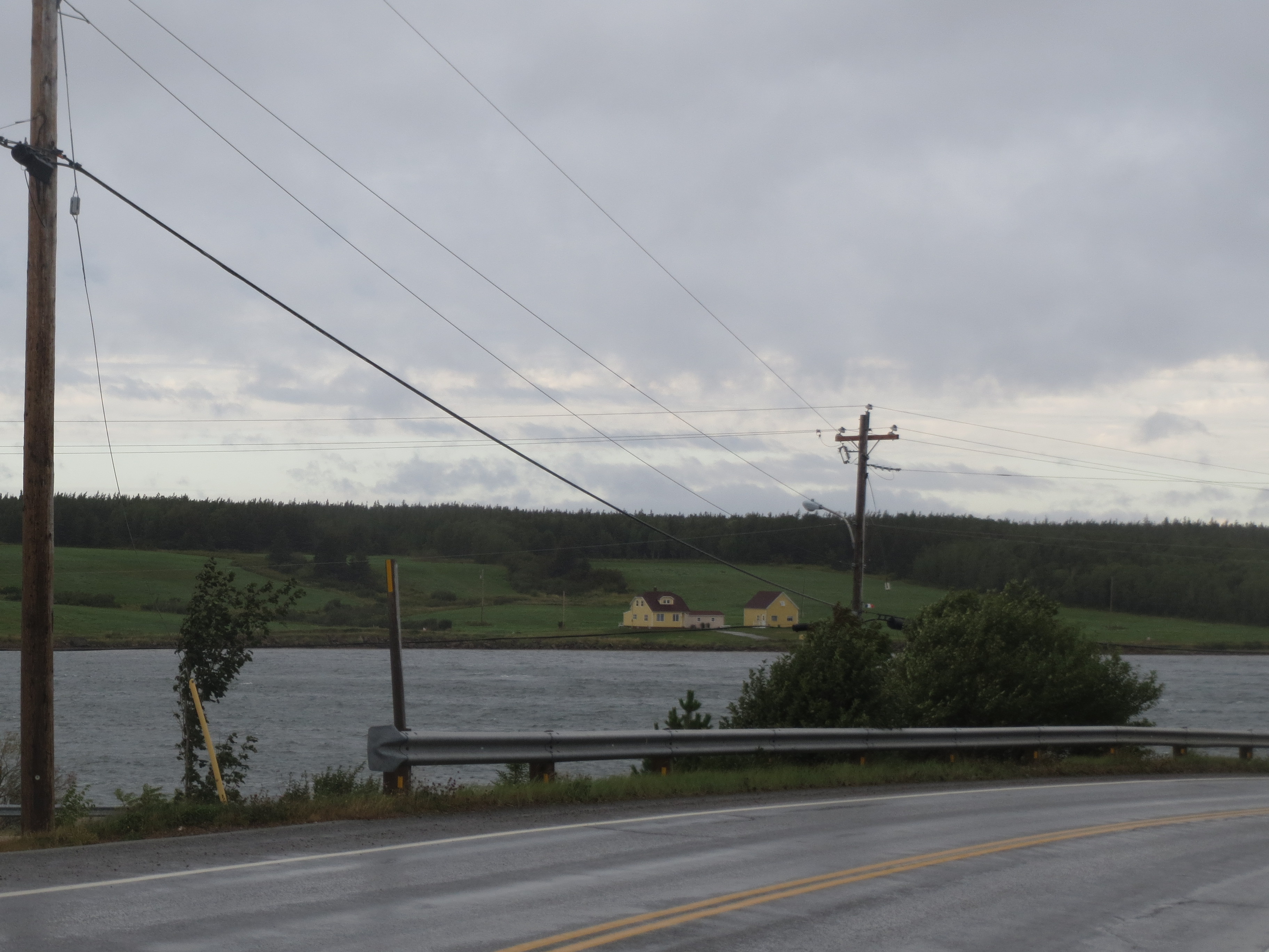
houses across the harbor from the road, near Cheticamp |
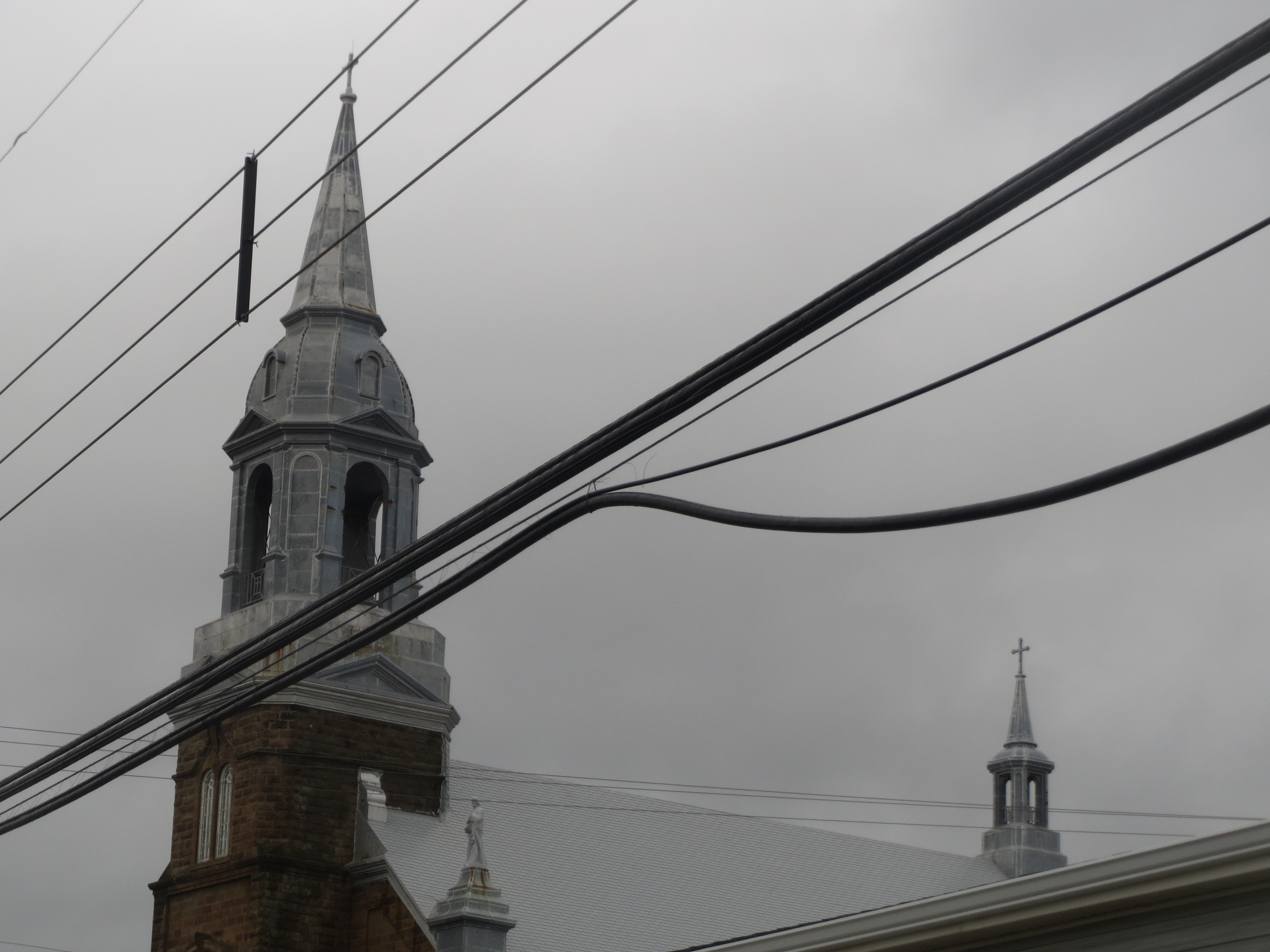
closeup of glorious metal roof of that church we saw earlier |

the Doryman Pub; we were much too early to hear live music from our bikes, but hold that thought |

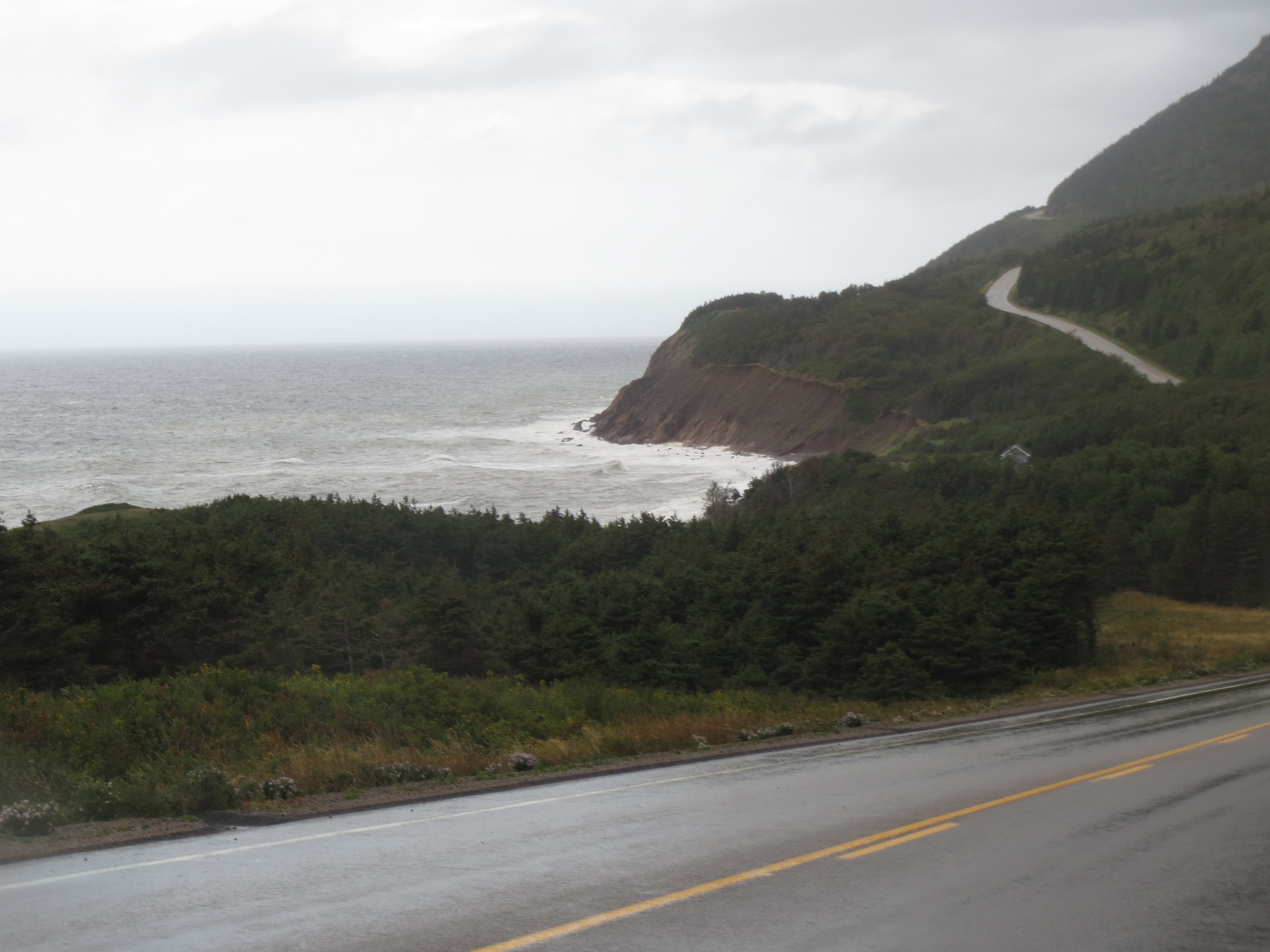
the end of the point across from Cheticamp; are those clouds a bad sign? |
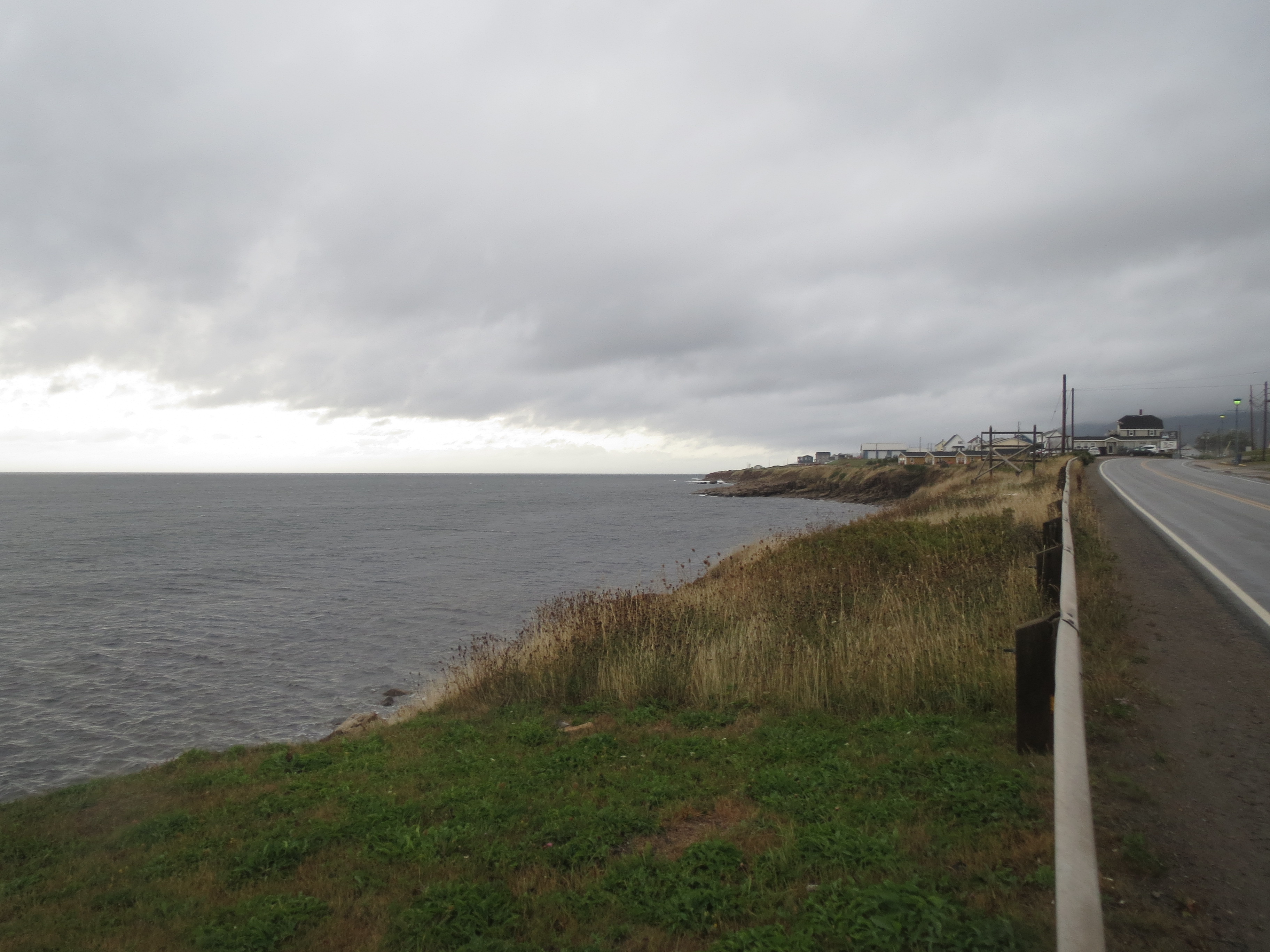
north along the coast from Cheticamp |
south from Cheticamp |
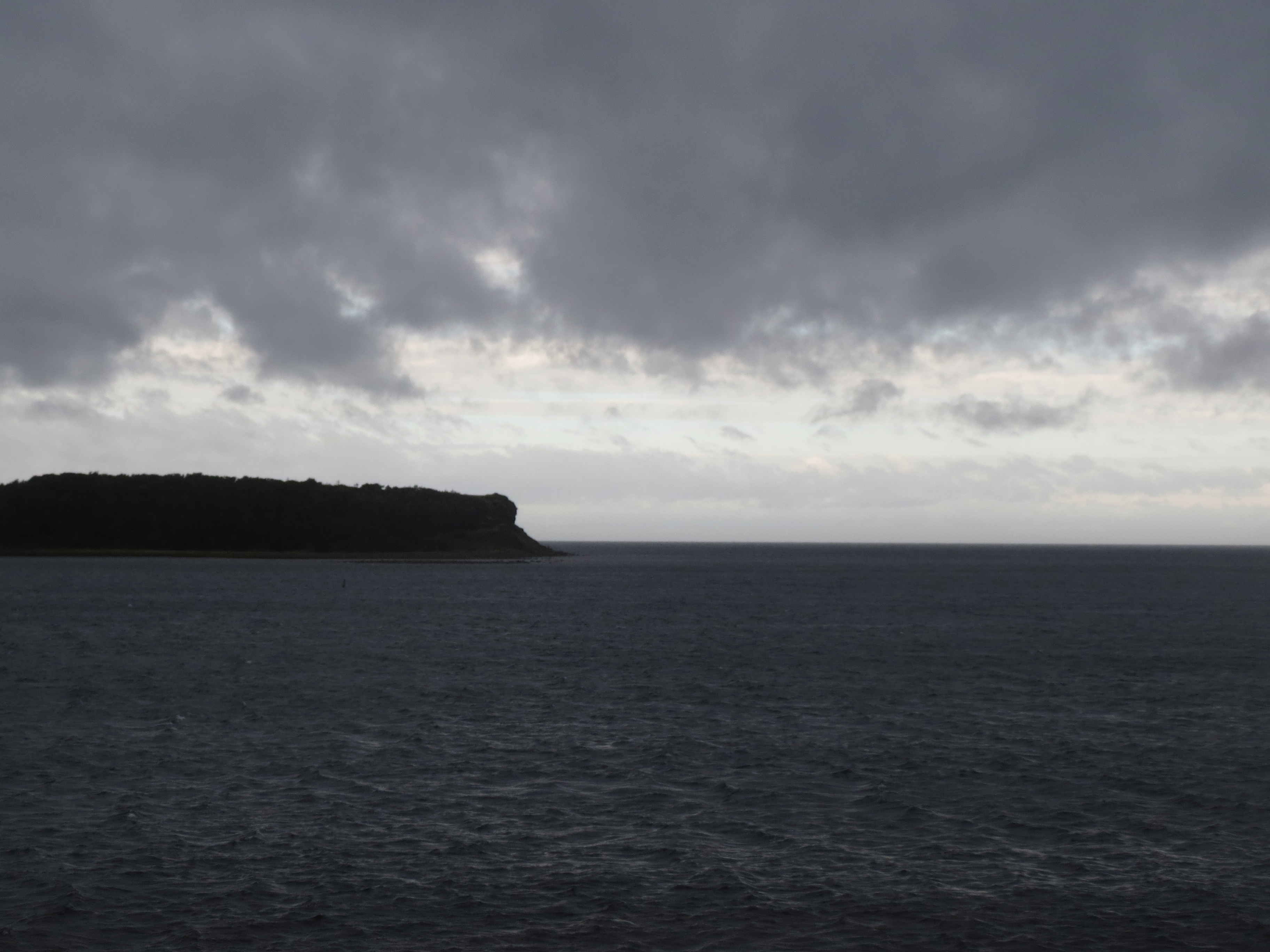
the clouds over the point still look pretty ominous |
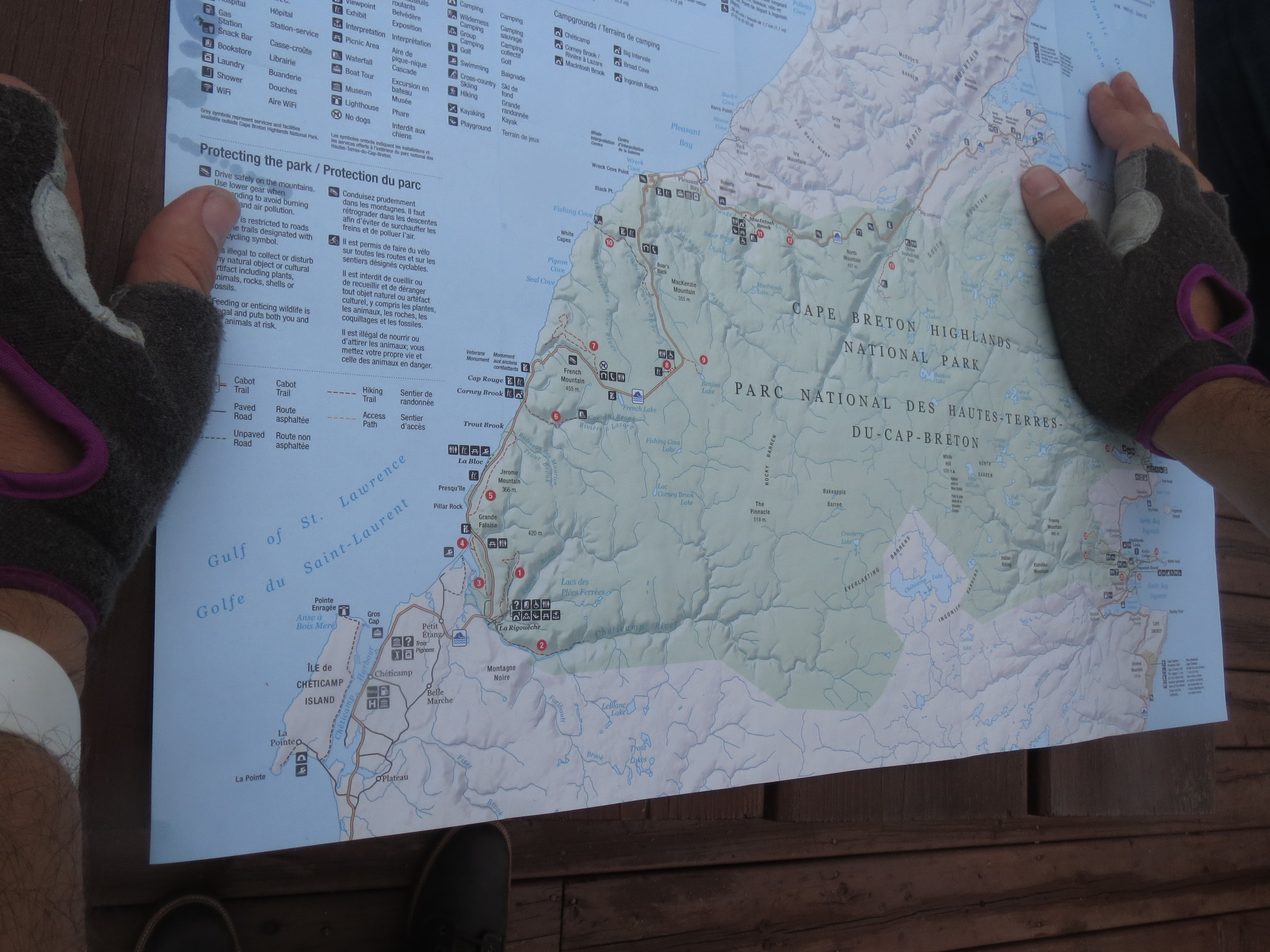
We stop at a bakery, where Sarah meets up with us, and shares a map of the national park we are about to enter. The forecast is for three small hills followed by an extended climb. |
view approaching the first climb |
the road ahead (Scott is in the distance, camoflaged as a tree with a reflective taillight) |

the road behind |

caution: cliff |
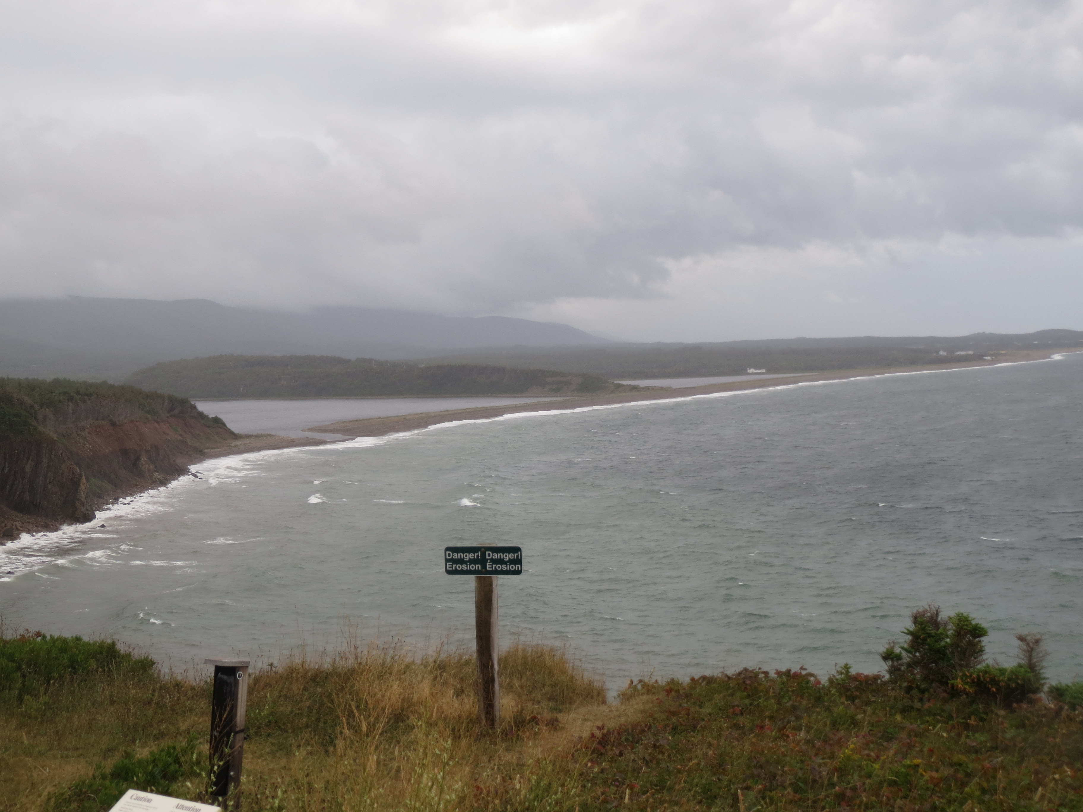
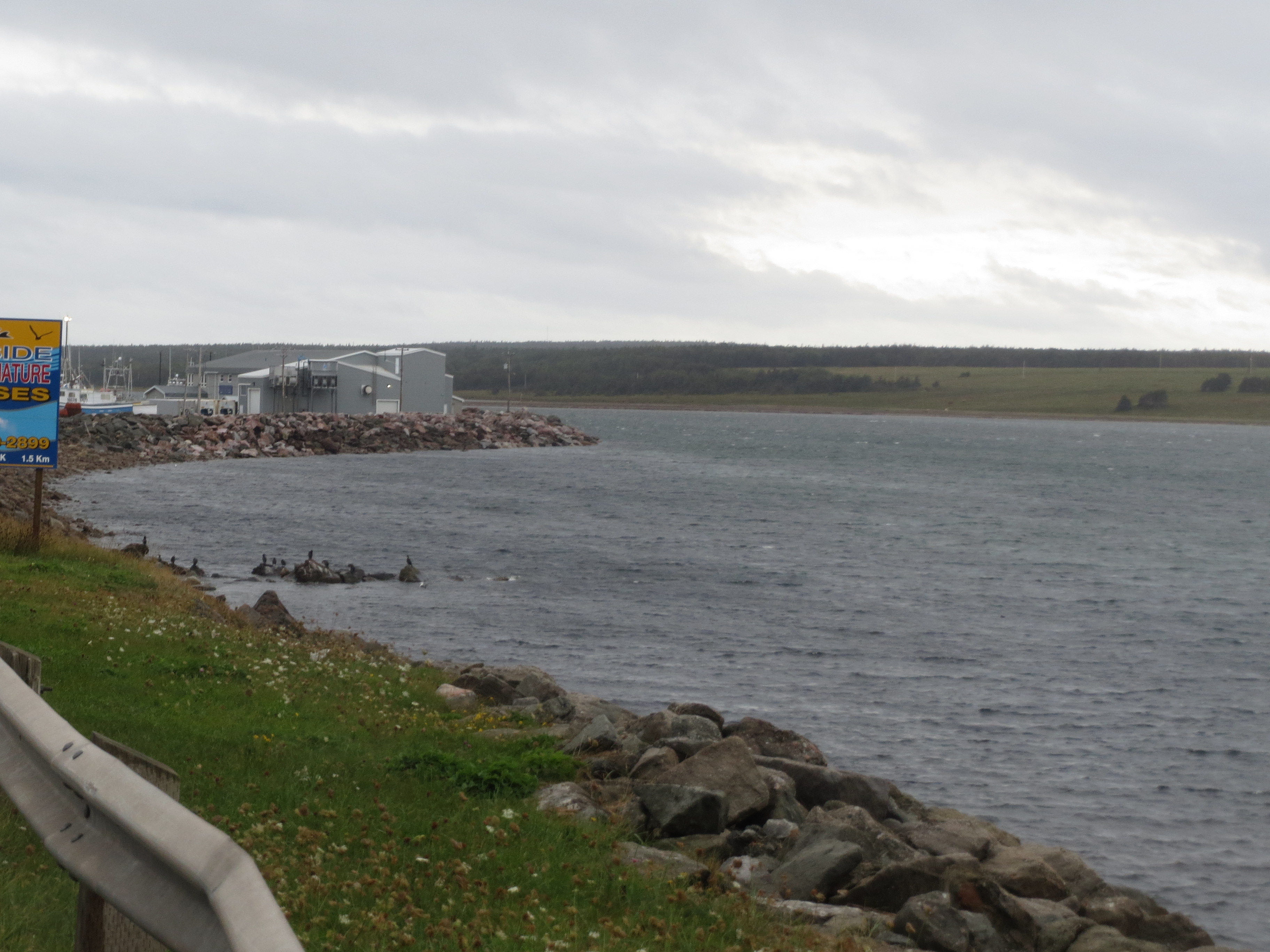
looking south along the coast at the mouth of the Cheticamp River |
the first hill, which we just climbed |

looking back along the coast after the first descent; the view during the descent was incredibly beautiful, but i couldn't stop to take a picture |
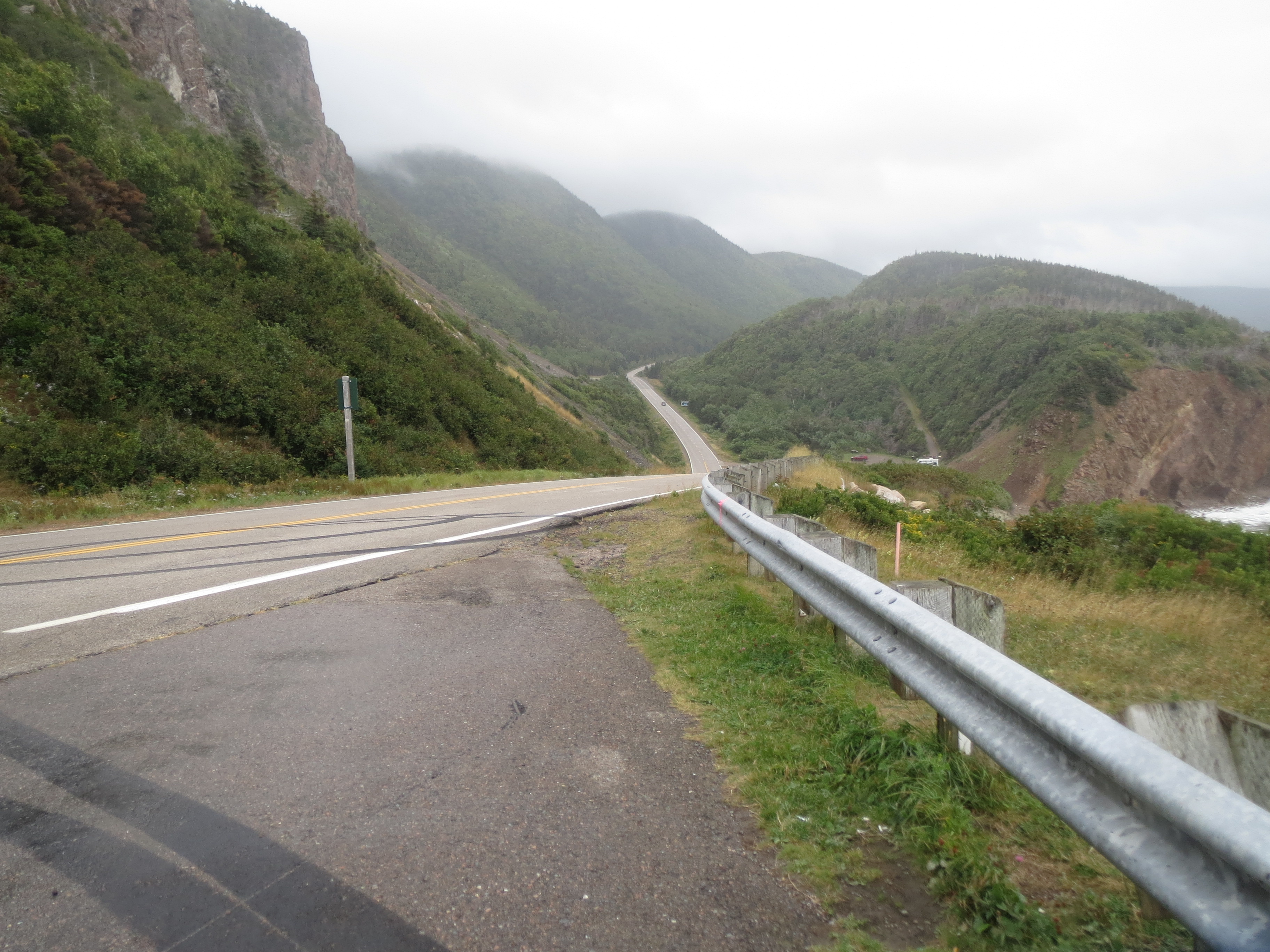
the road ahead after the second climb |

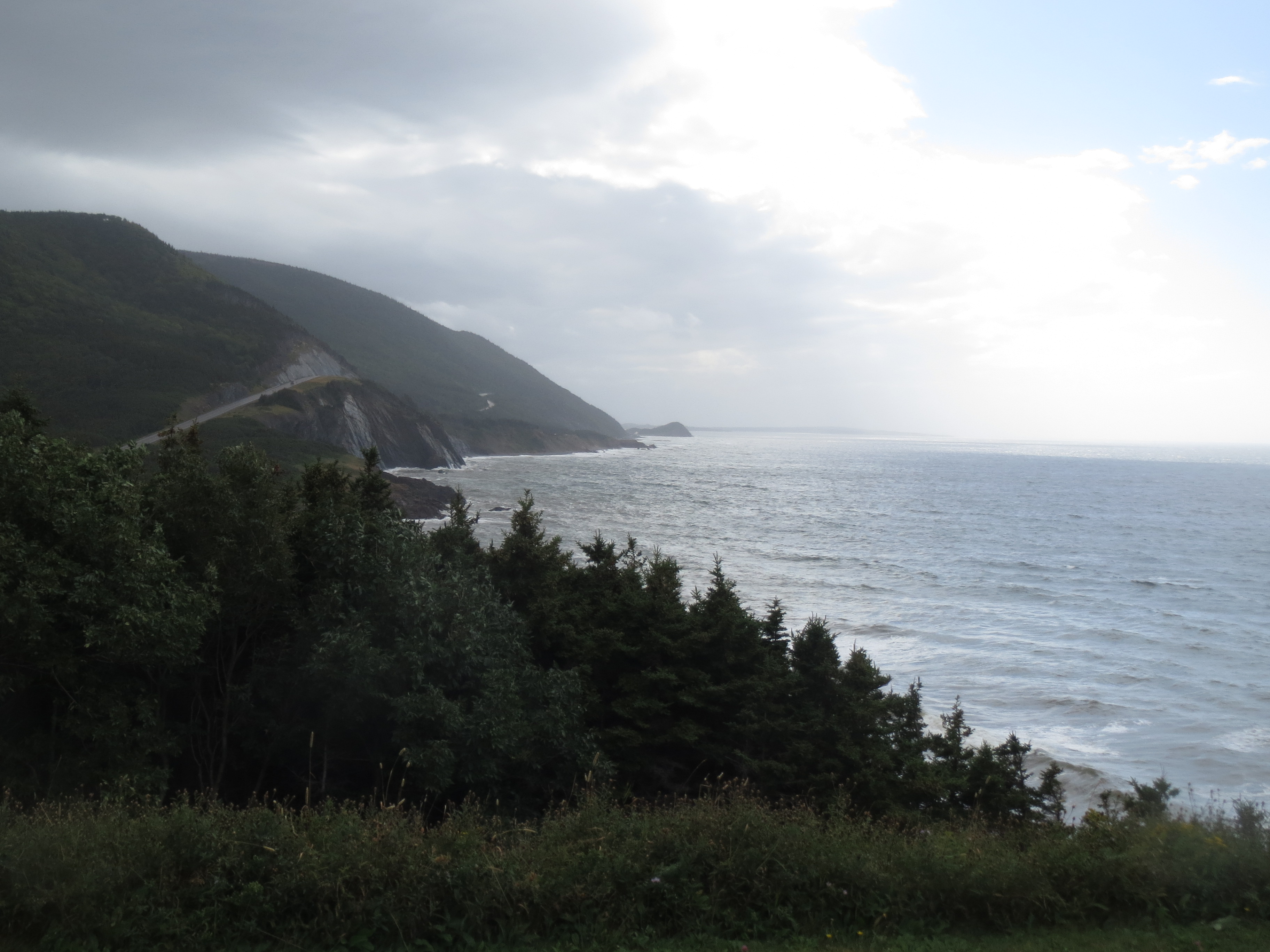
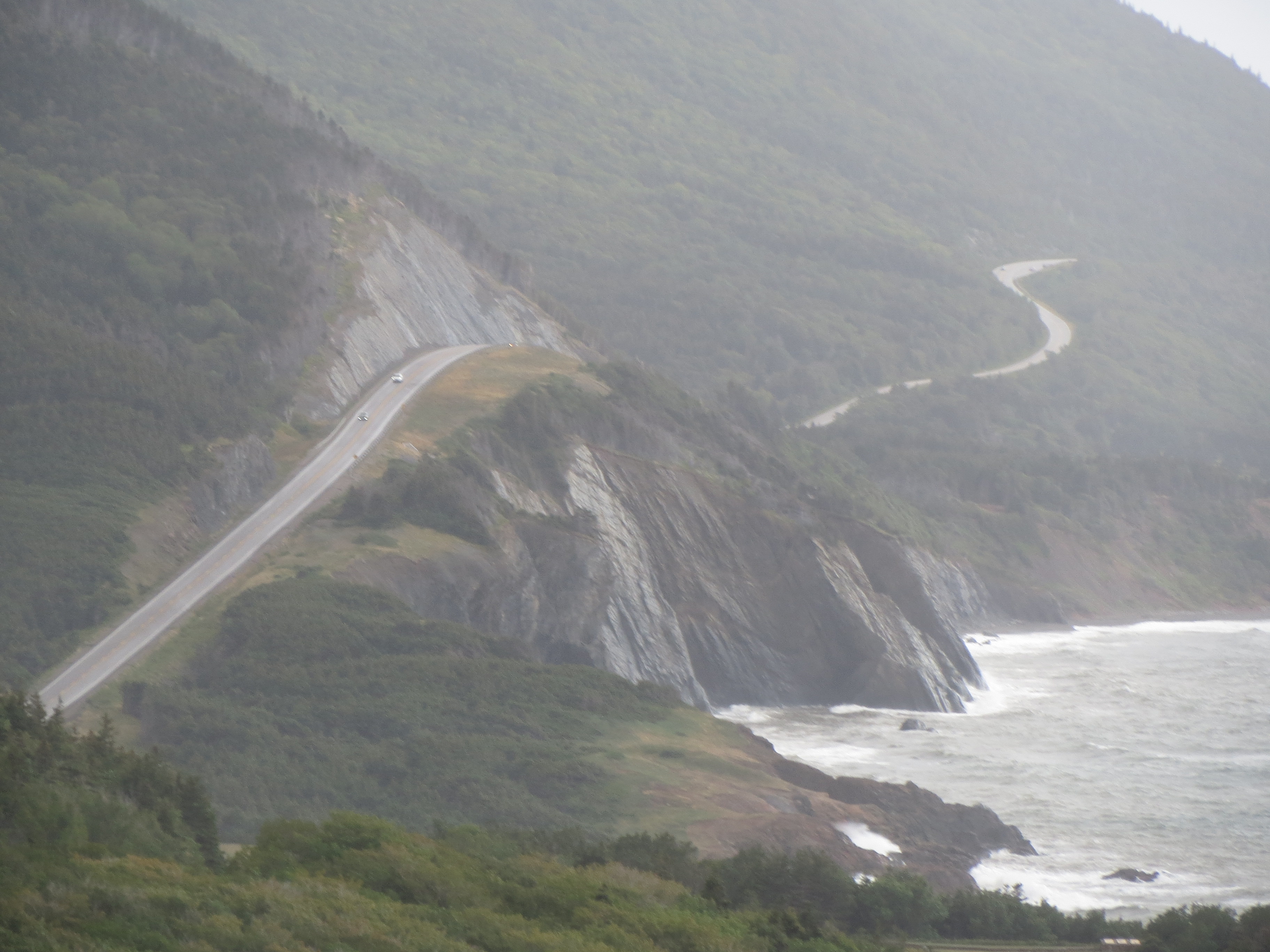
north along the coast after the second hill; yep, that's our route |
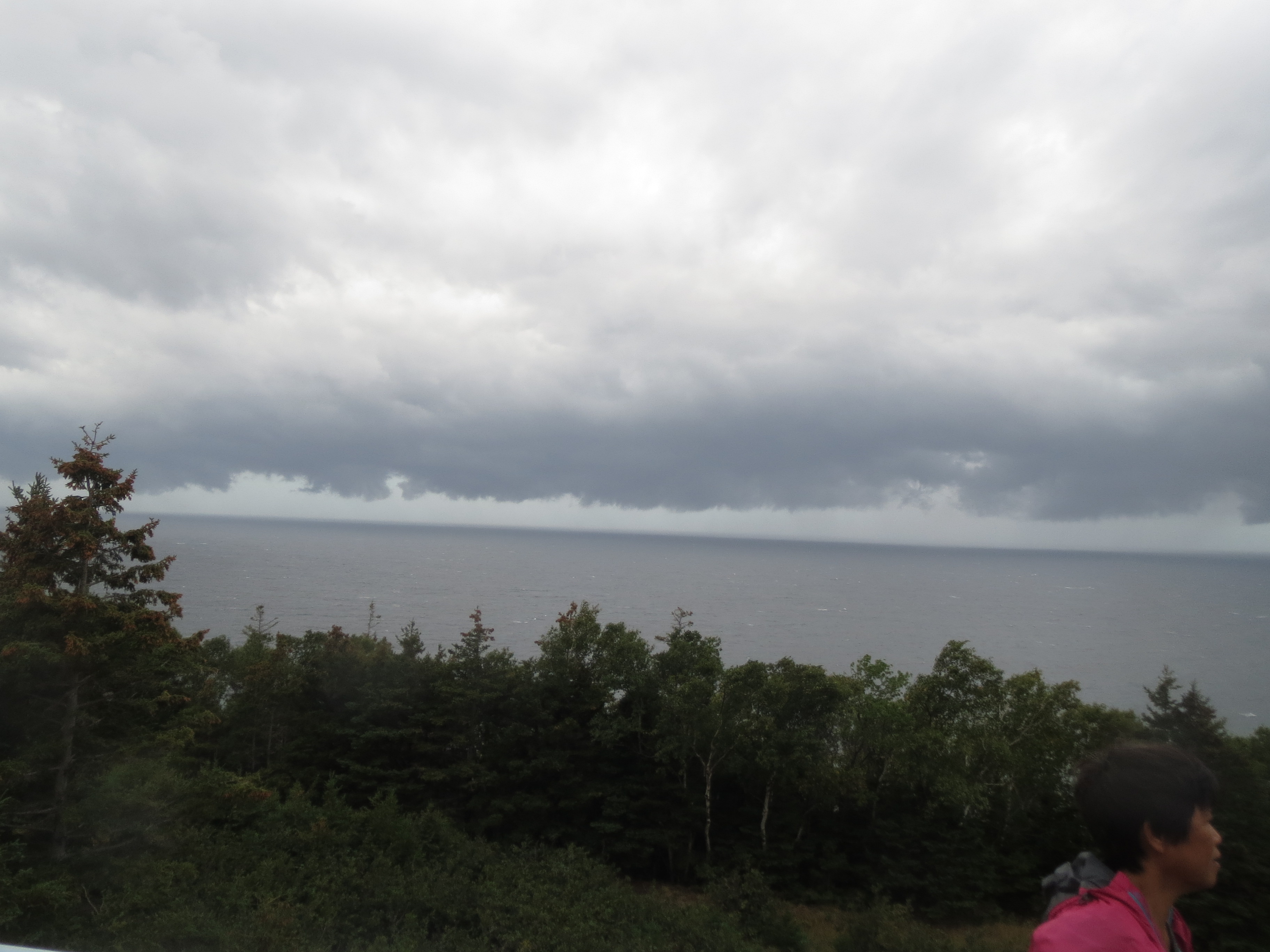
boy, those clouds look ominous, don't they? |
Remember all that foreshadowing? Look, heavy rain and wind |
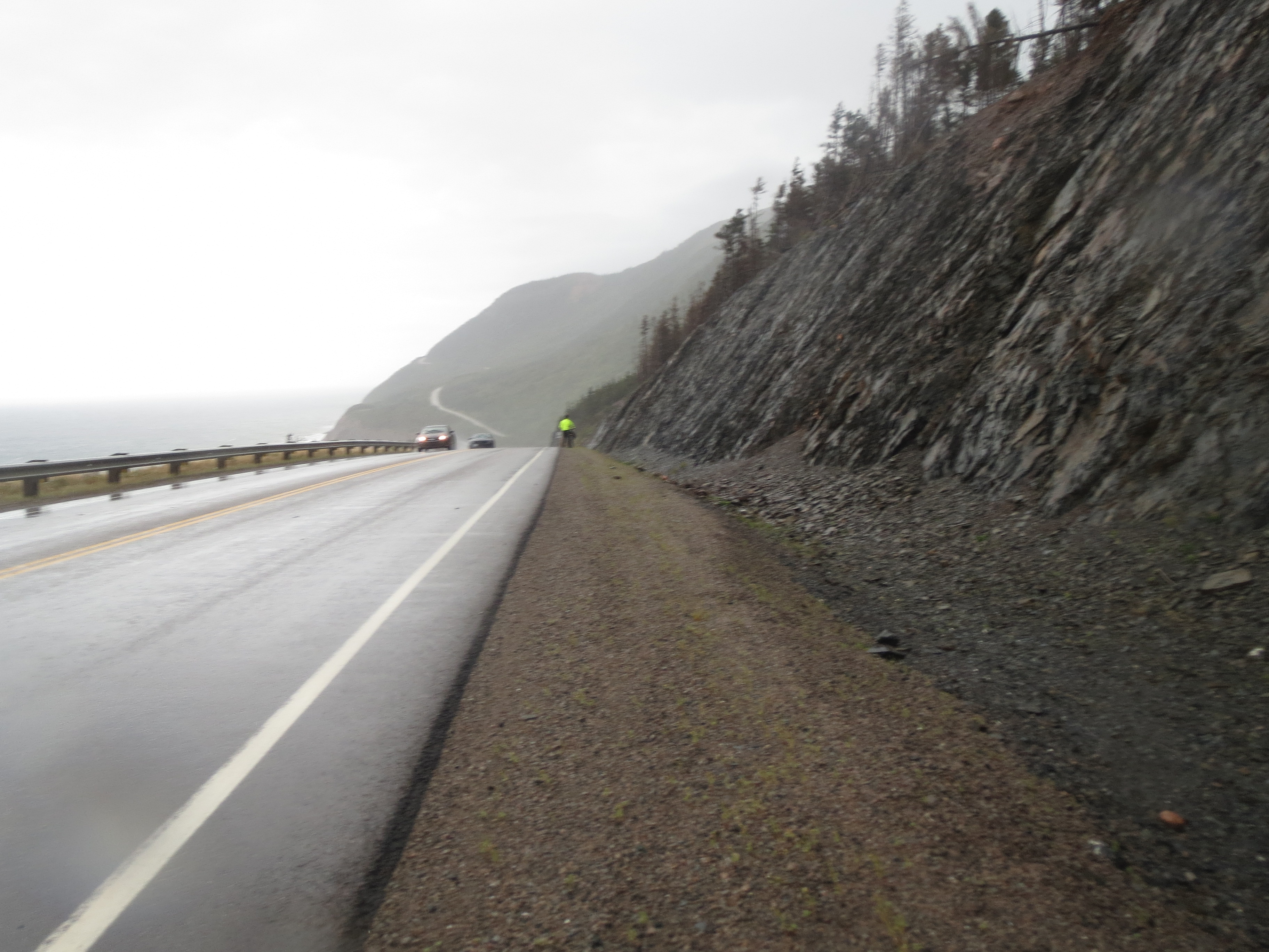
we had to stop and walk along this stretch of road because the wind was blowing too hard to feel safe riding |
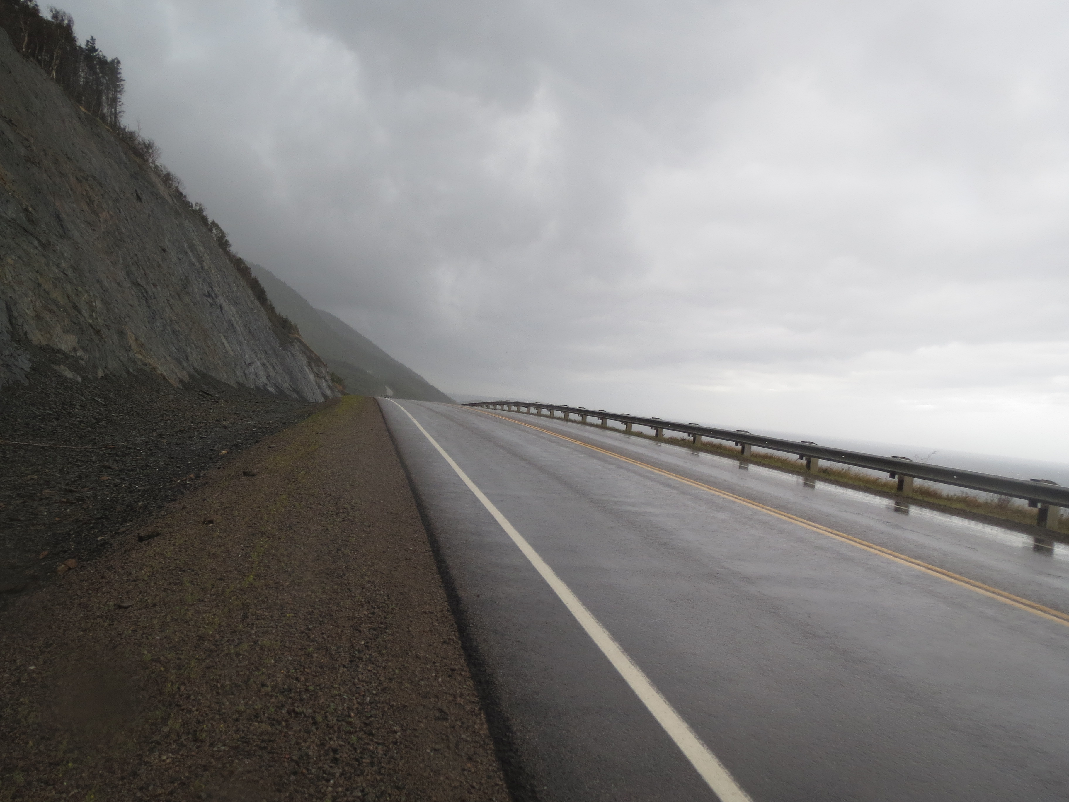
north along the coast |
south along the coast; that little hill by the water was our first climb/descent |
some scenery while stopped |
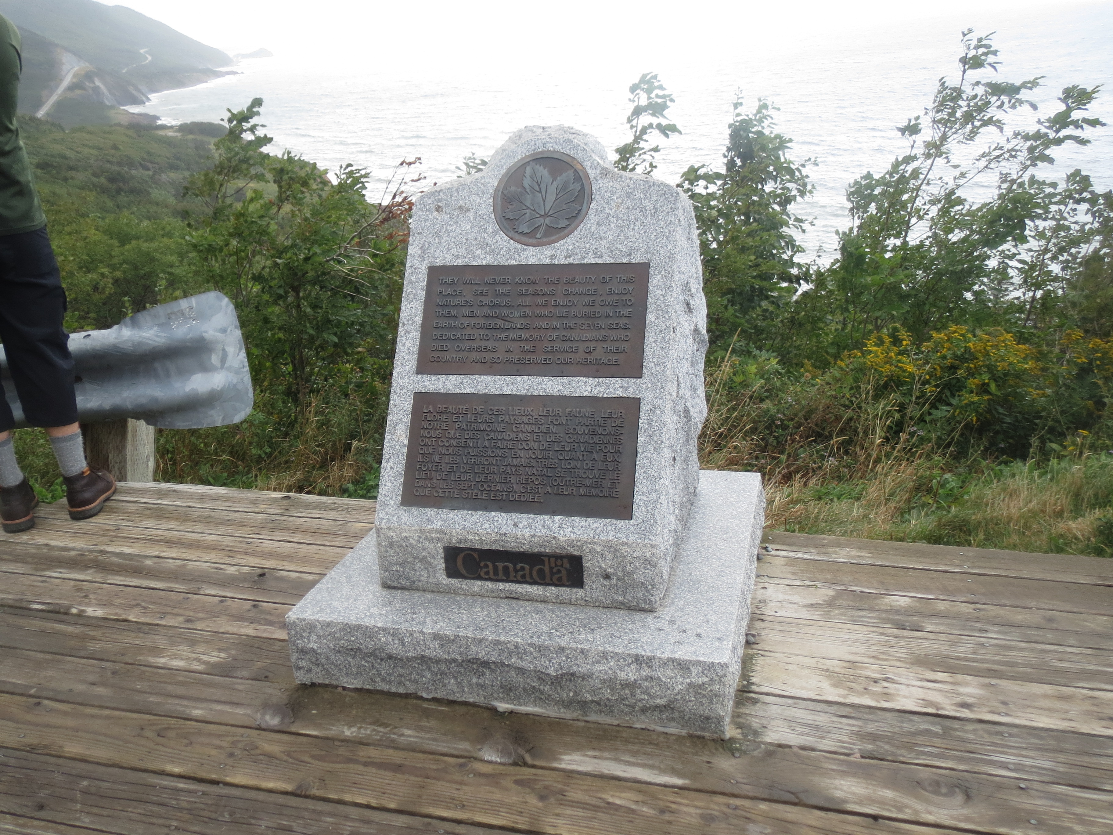
war memorial |
the road behind |
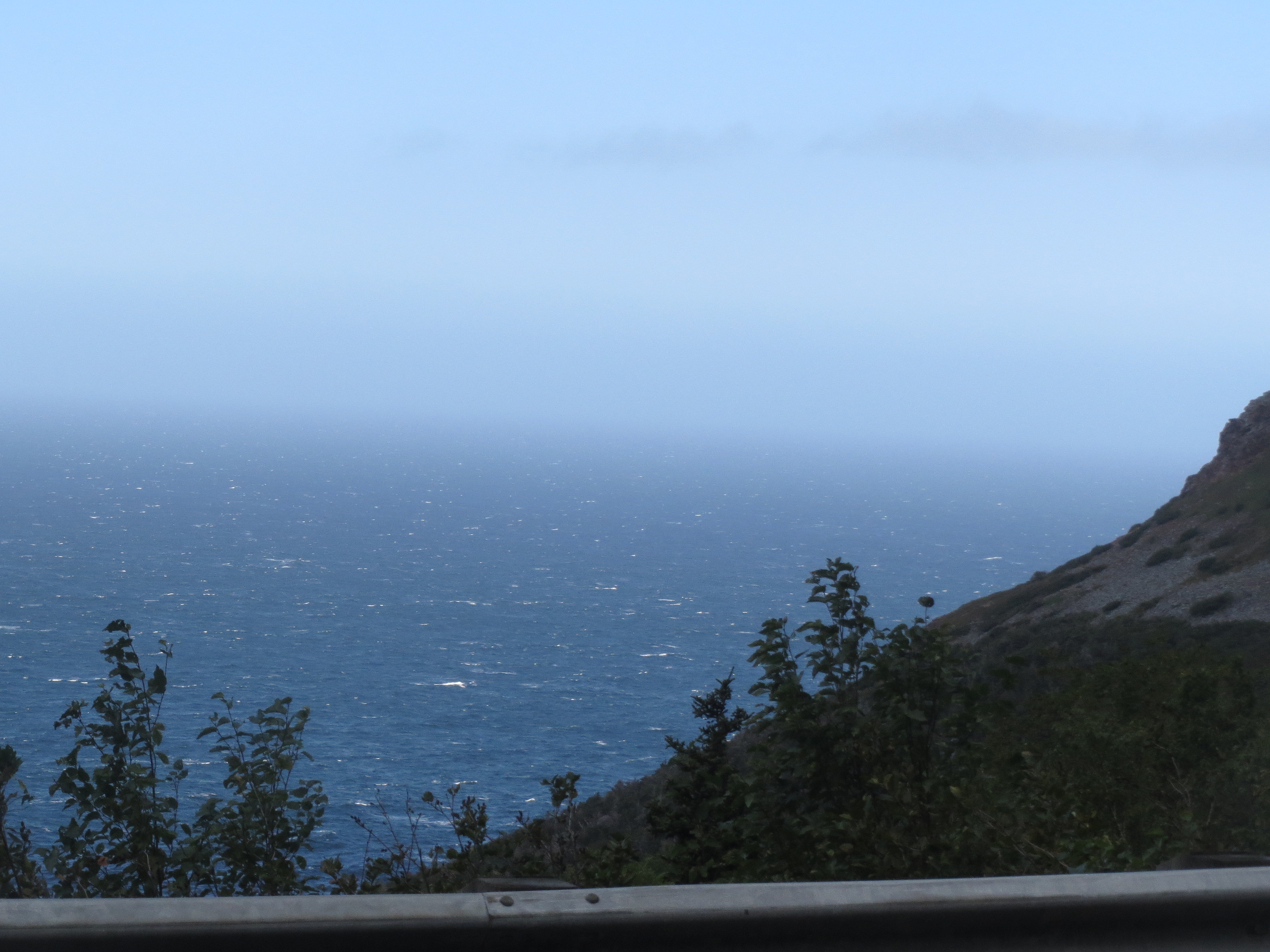
it's hard to tell where the ocean ends and the sky starts |
the road ahead; we're on the big climb now, and you can see Skyline Ridge |
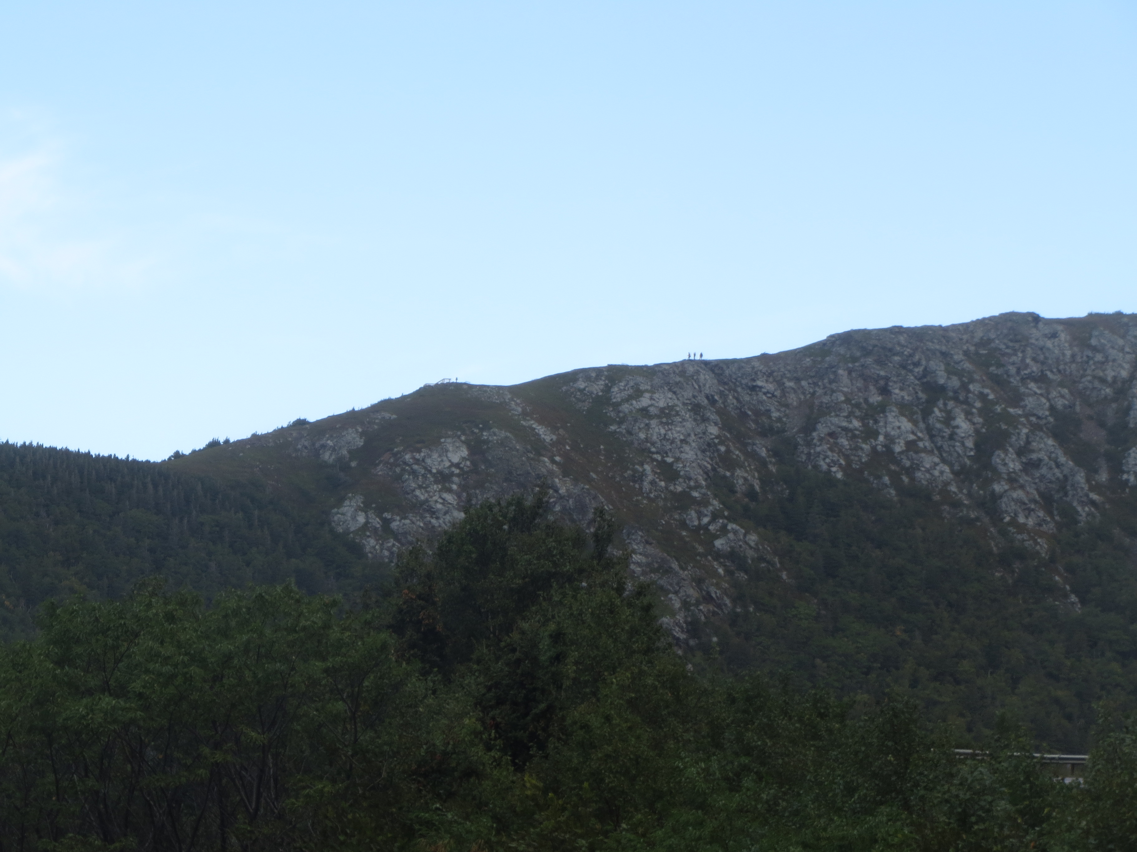
hikers on Skyline Ridge |
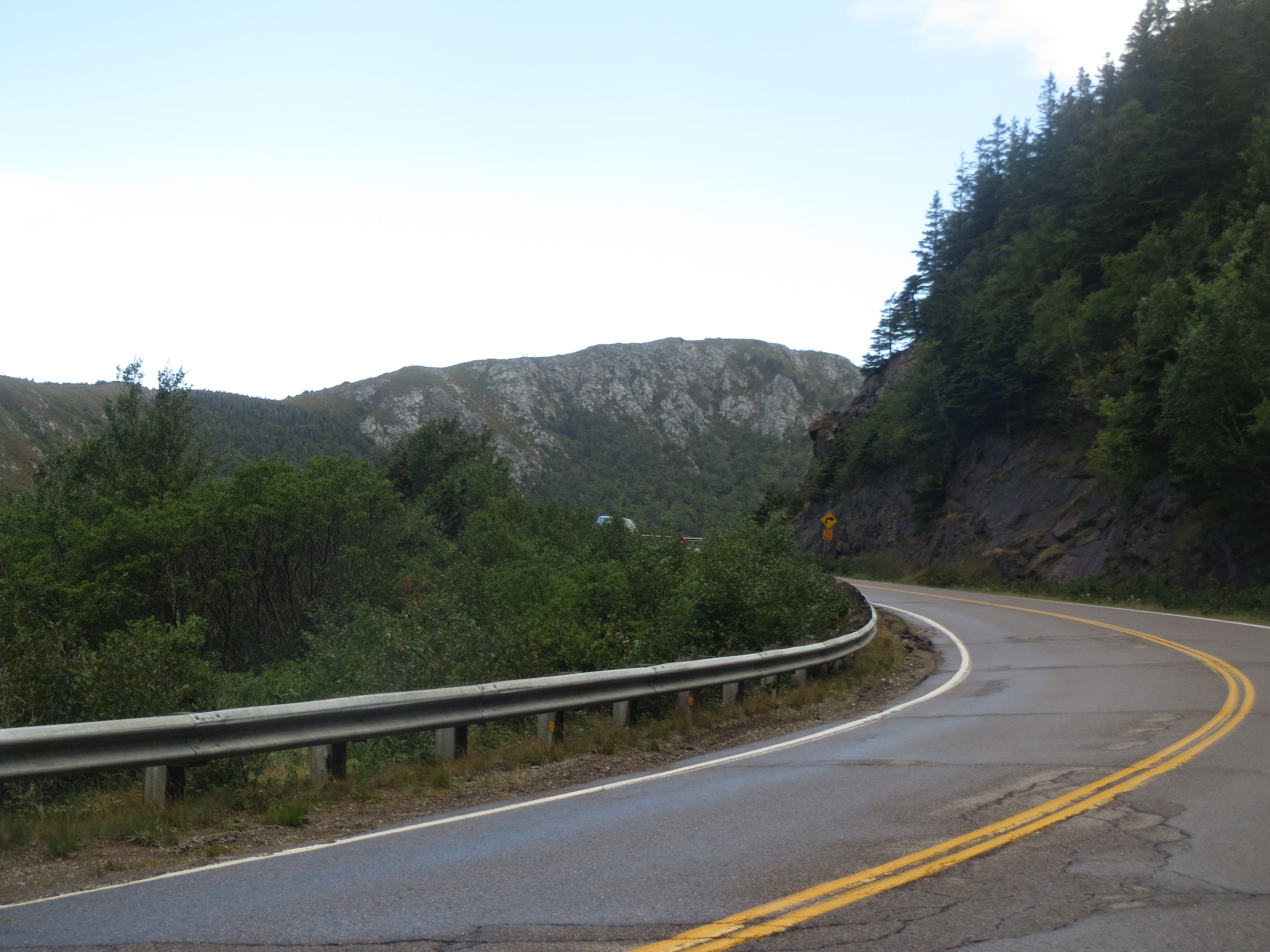
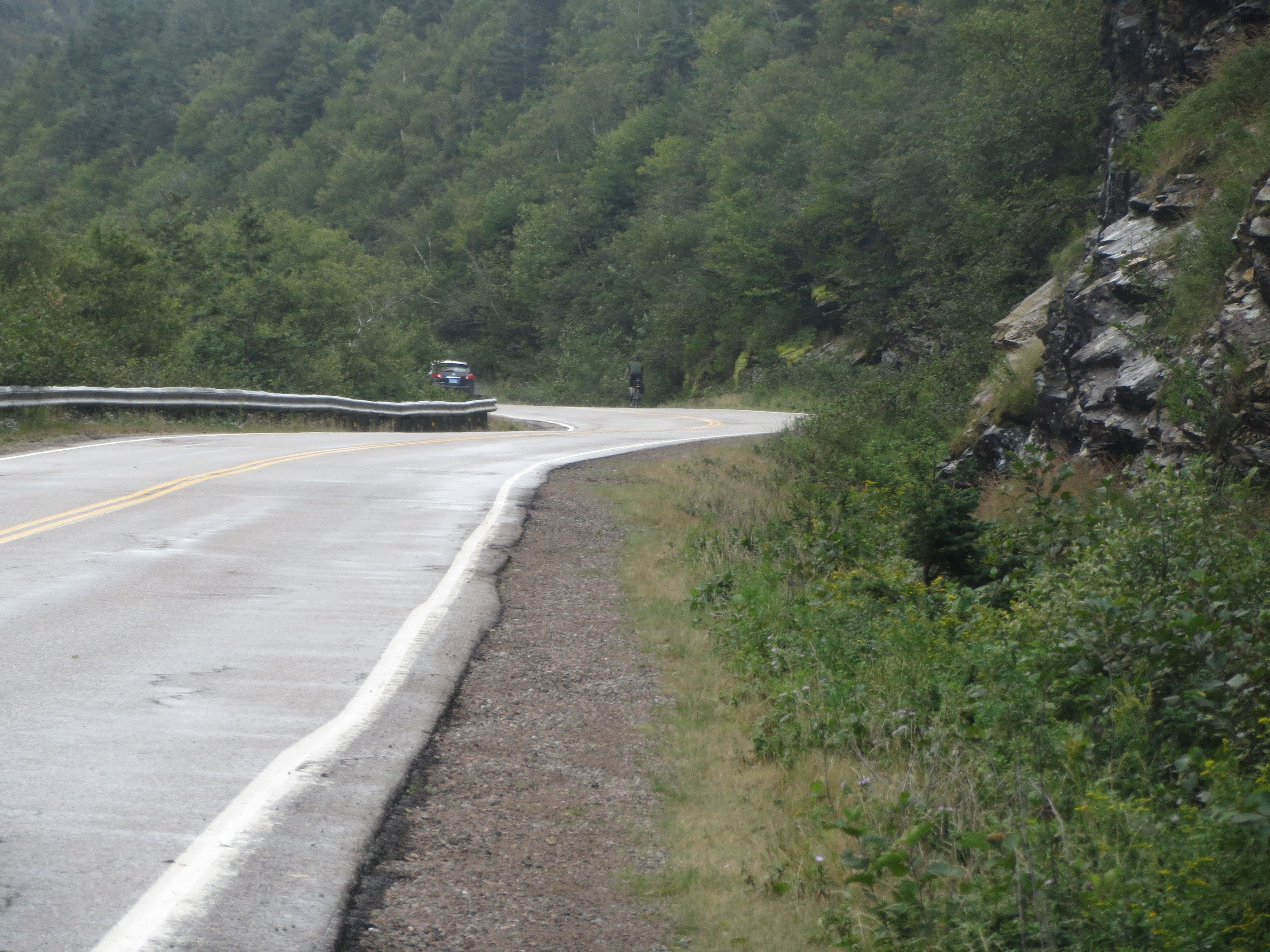
the road behind |
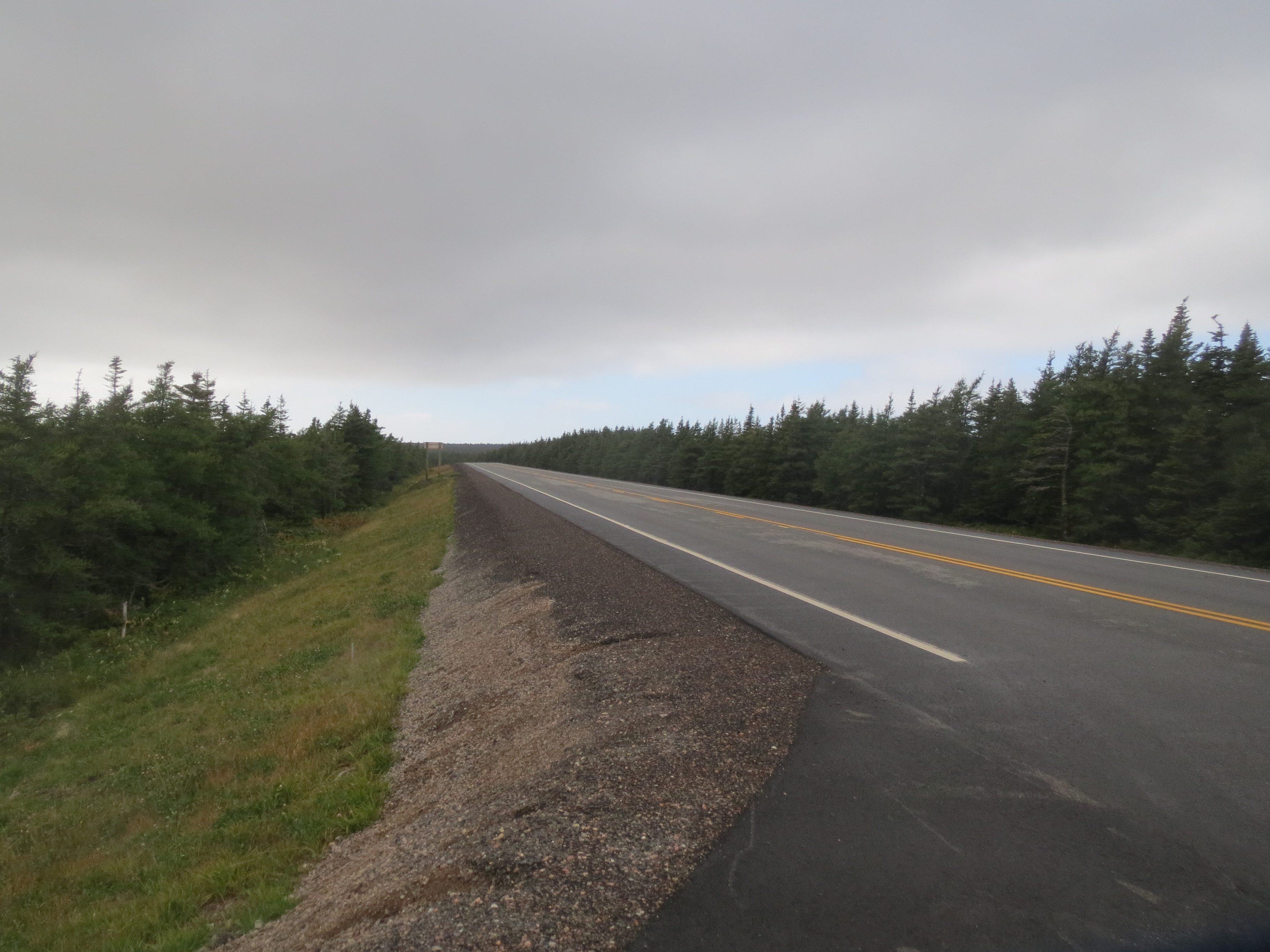
the road ahead |

a lake visible at the top of the climb |
we're at the top now |
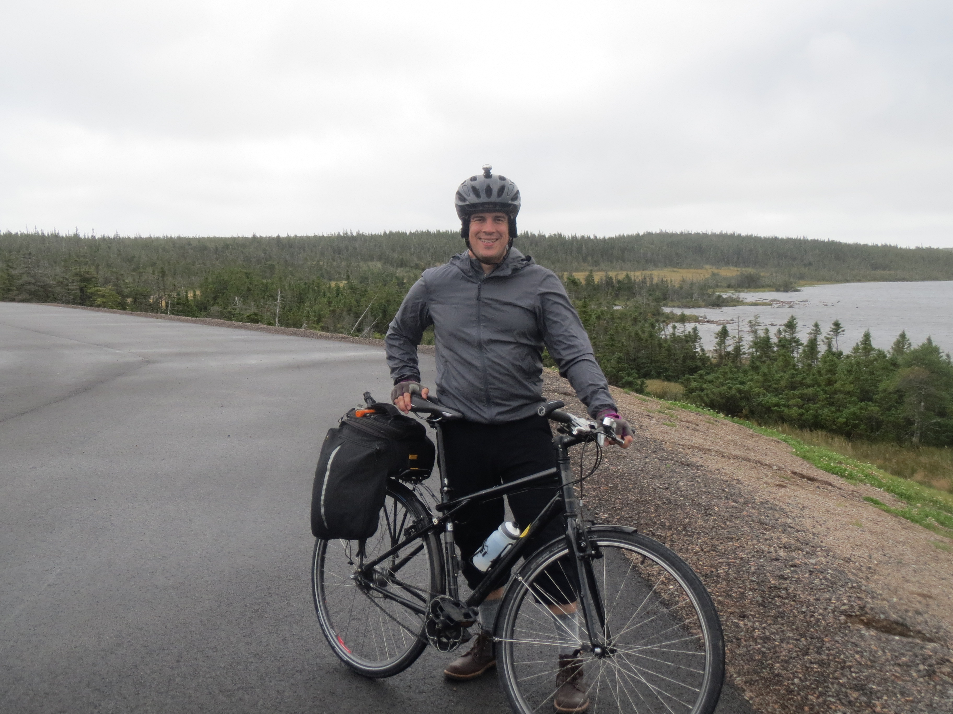
Scott at the top of the climb |
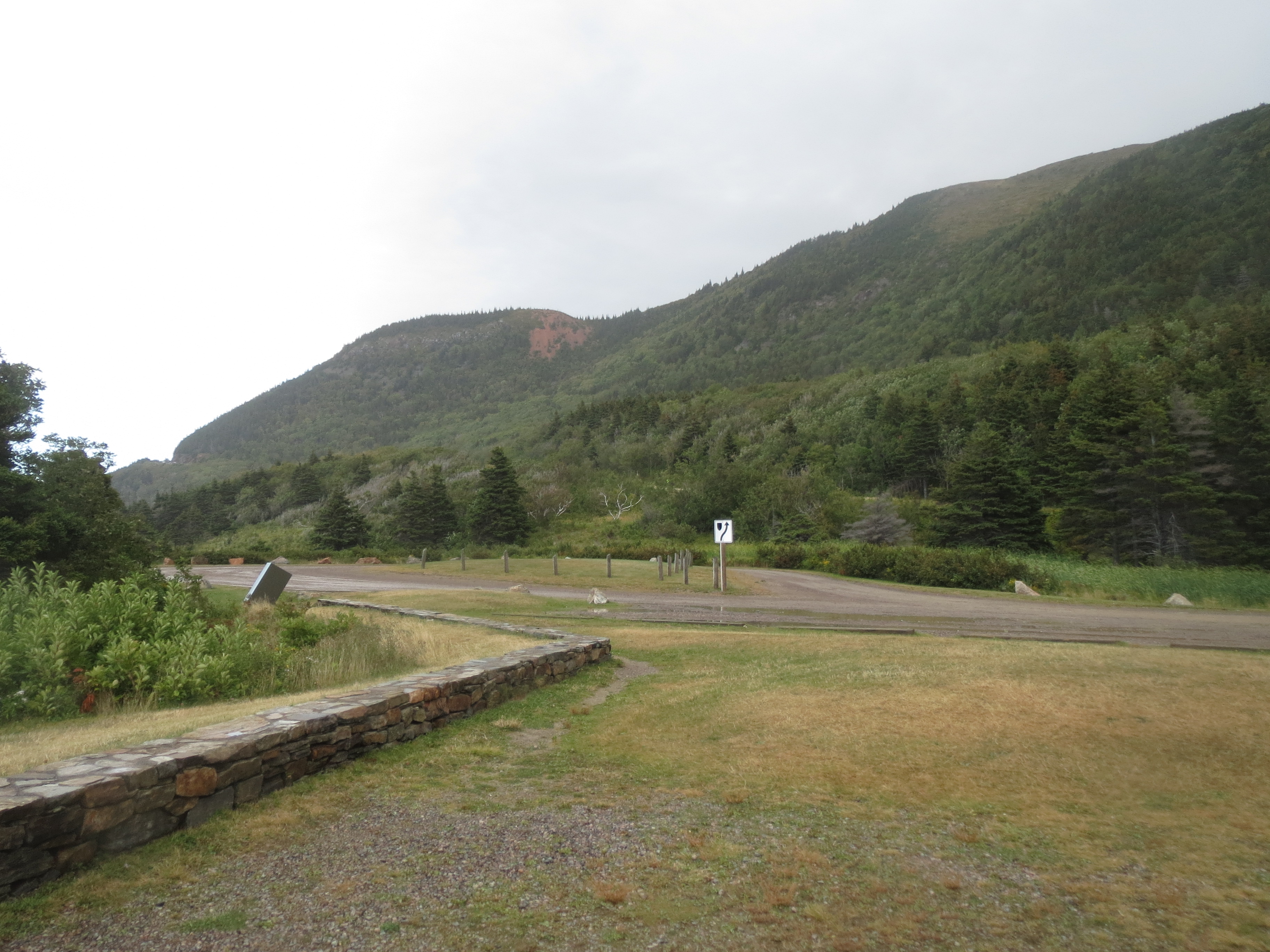
we skip the Skyline Trail for today because it's so overcast, but meet the van in the parking lot to walk the bog trail |
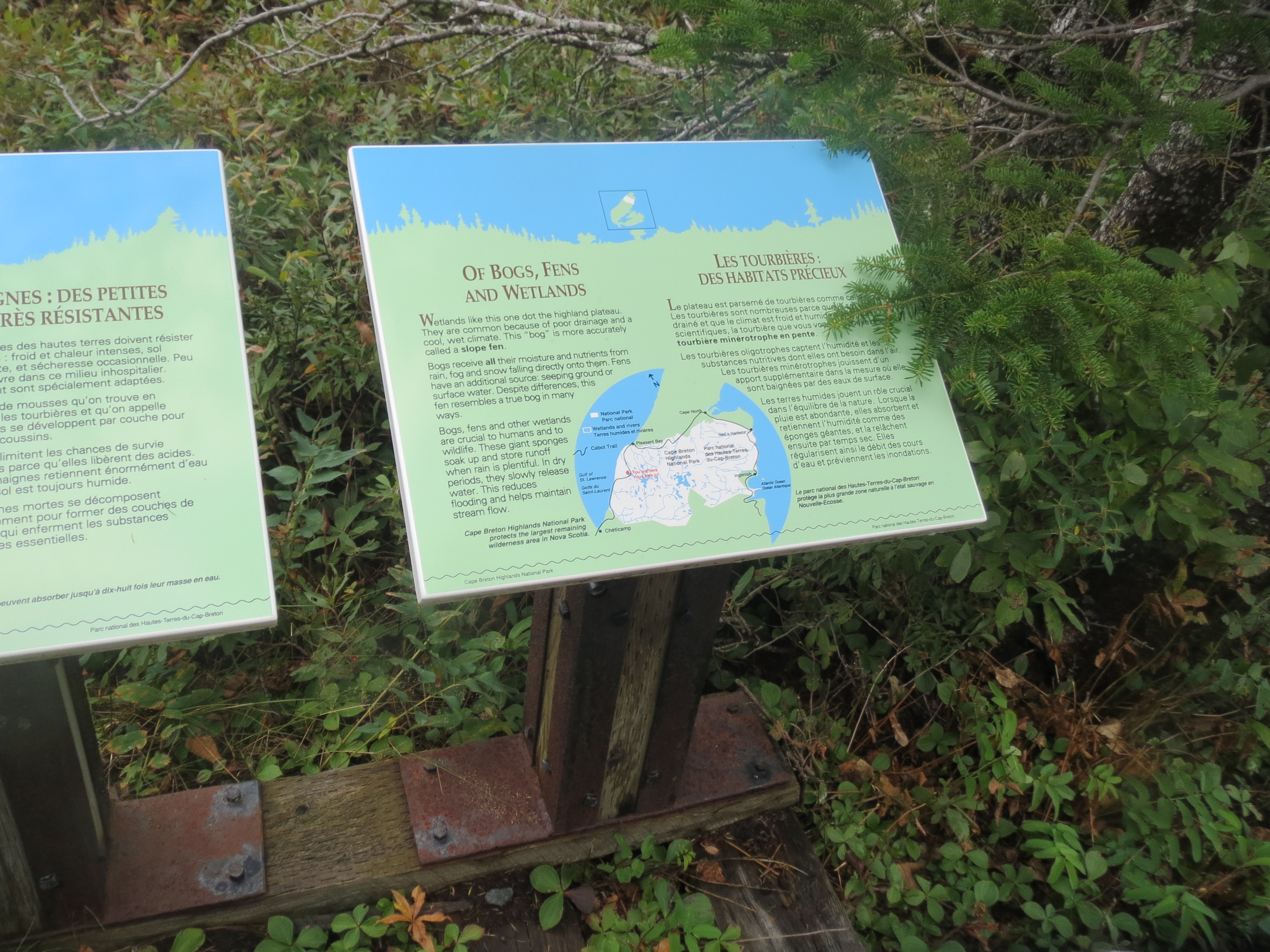
this informational sign has information about bogs and fens, and also a helpful overview map |

boardwalk through the bog |
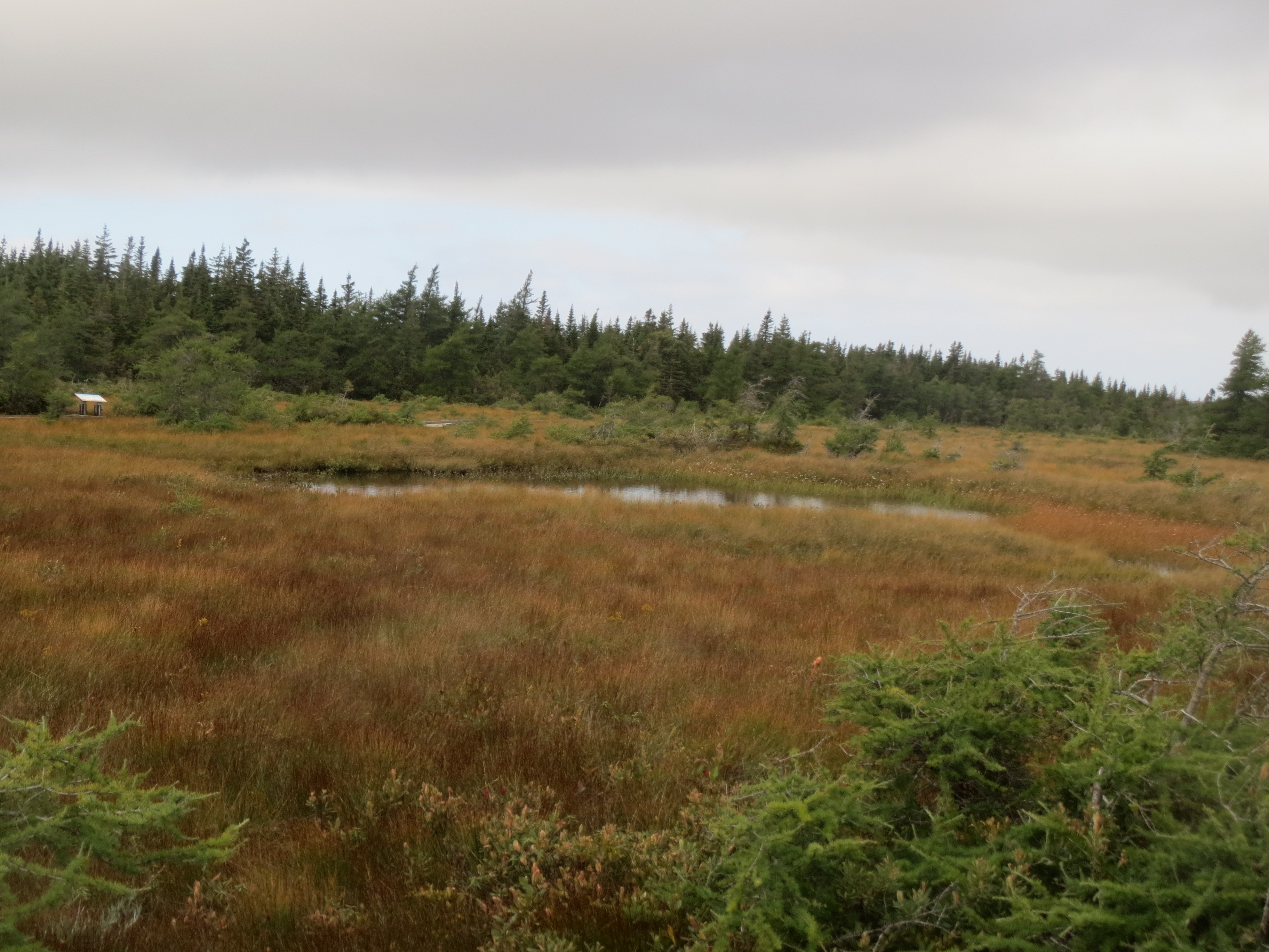
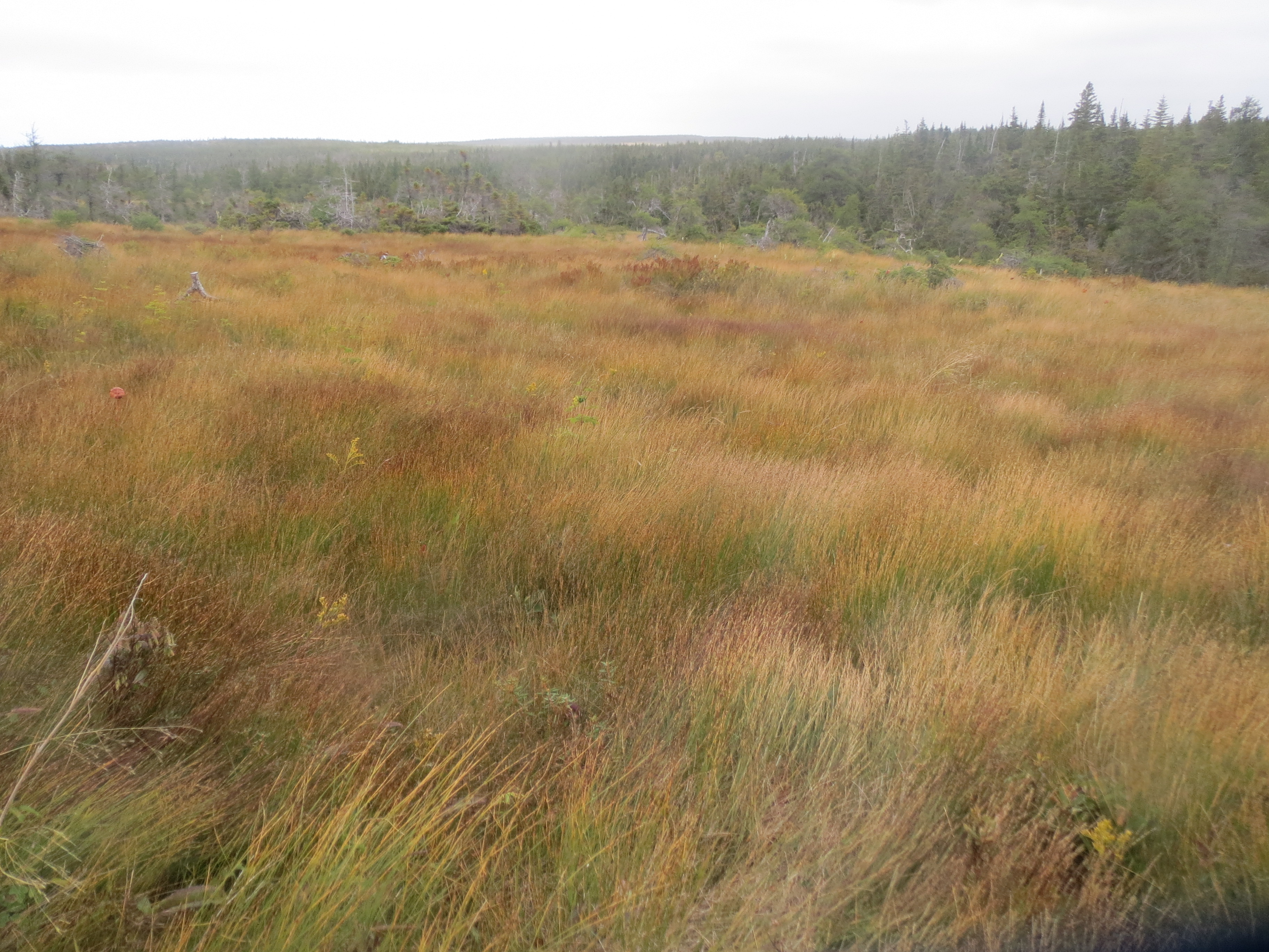
the bog is pretty neat |
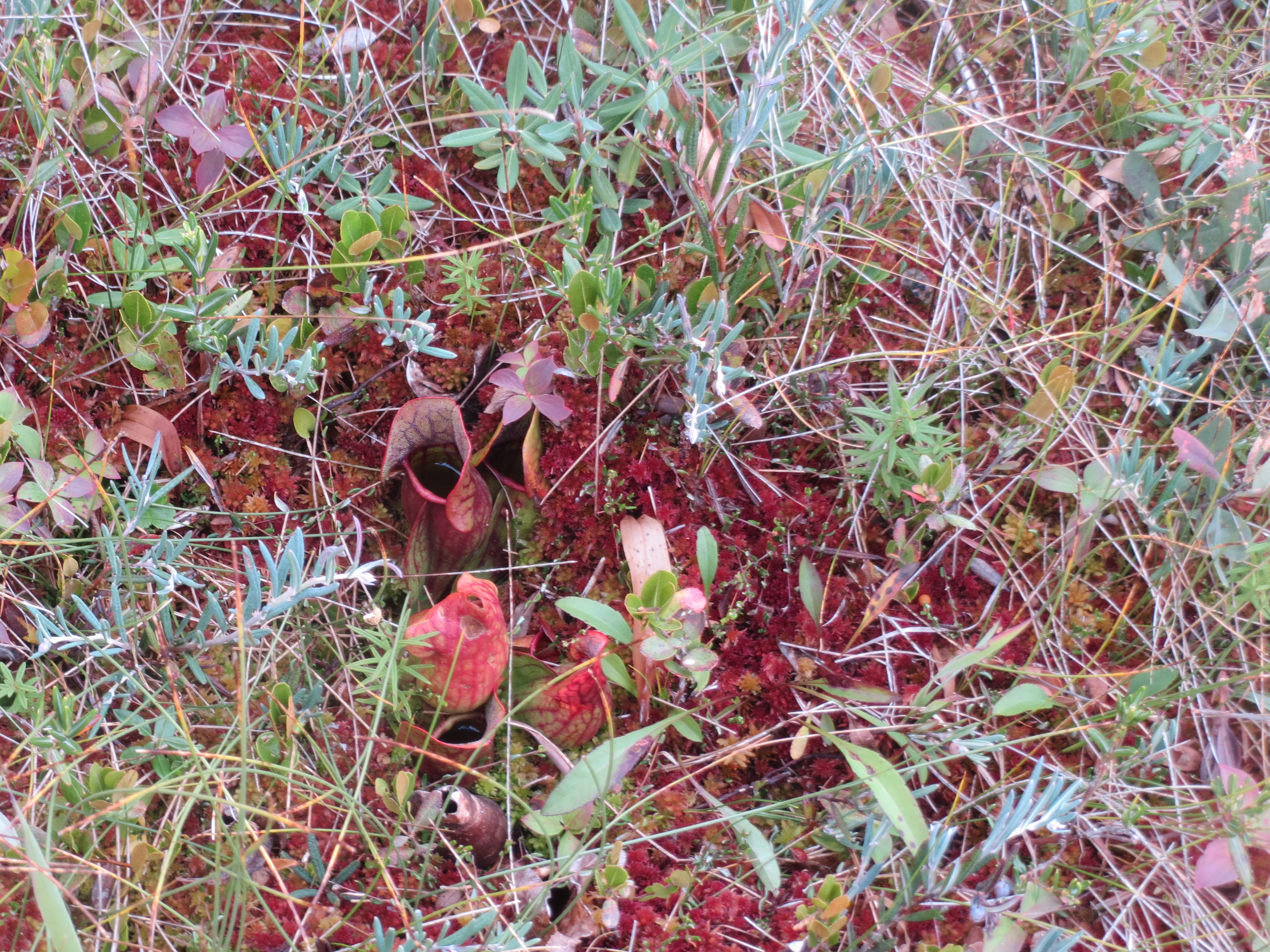
pitcher plants! |
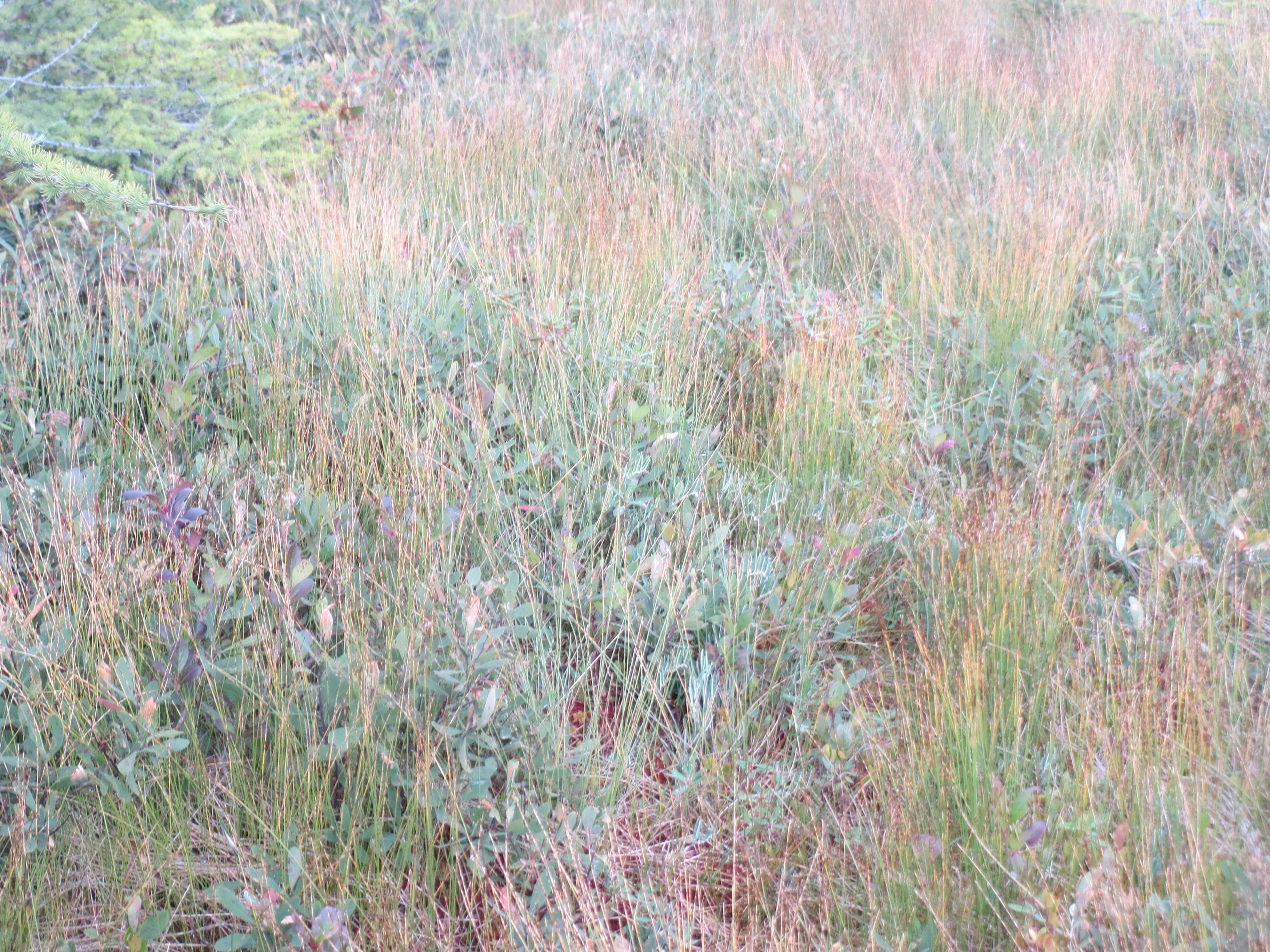
one of the characteristic colors of the bog came from these reeds, which were everywhere |
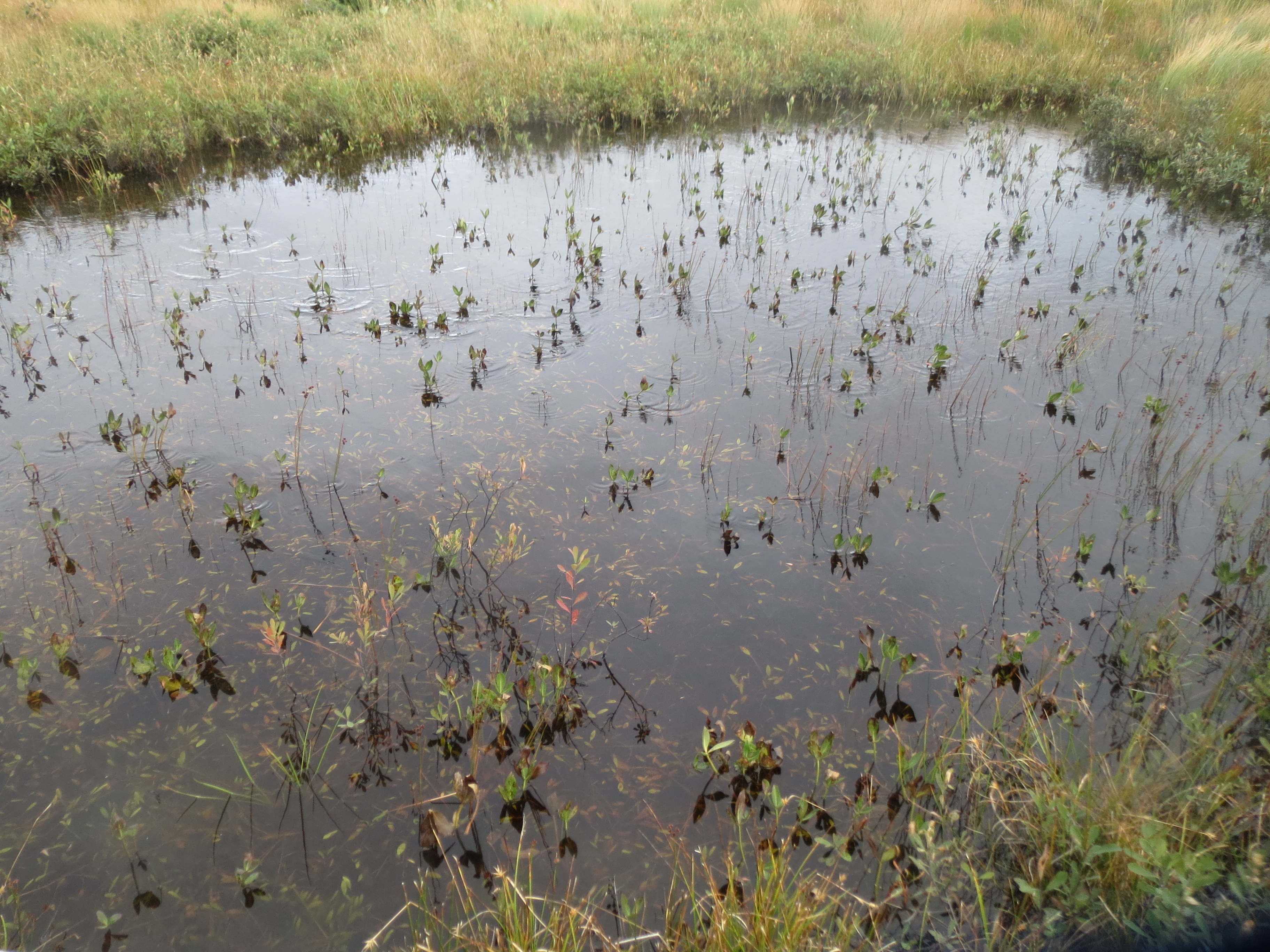
water plants |
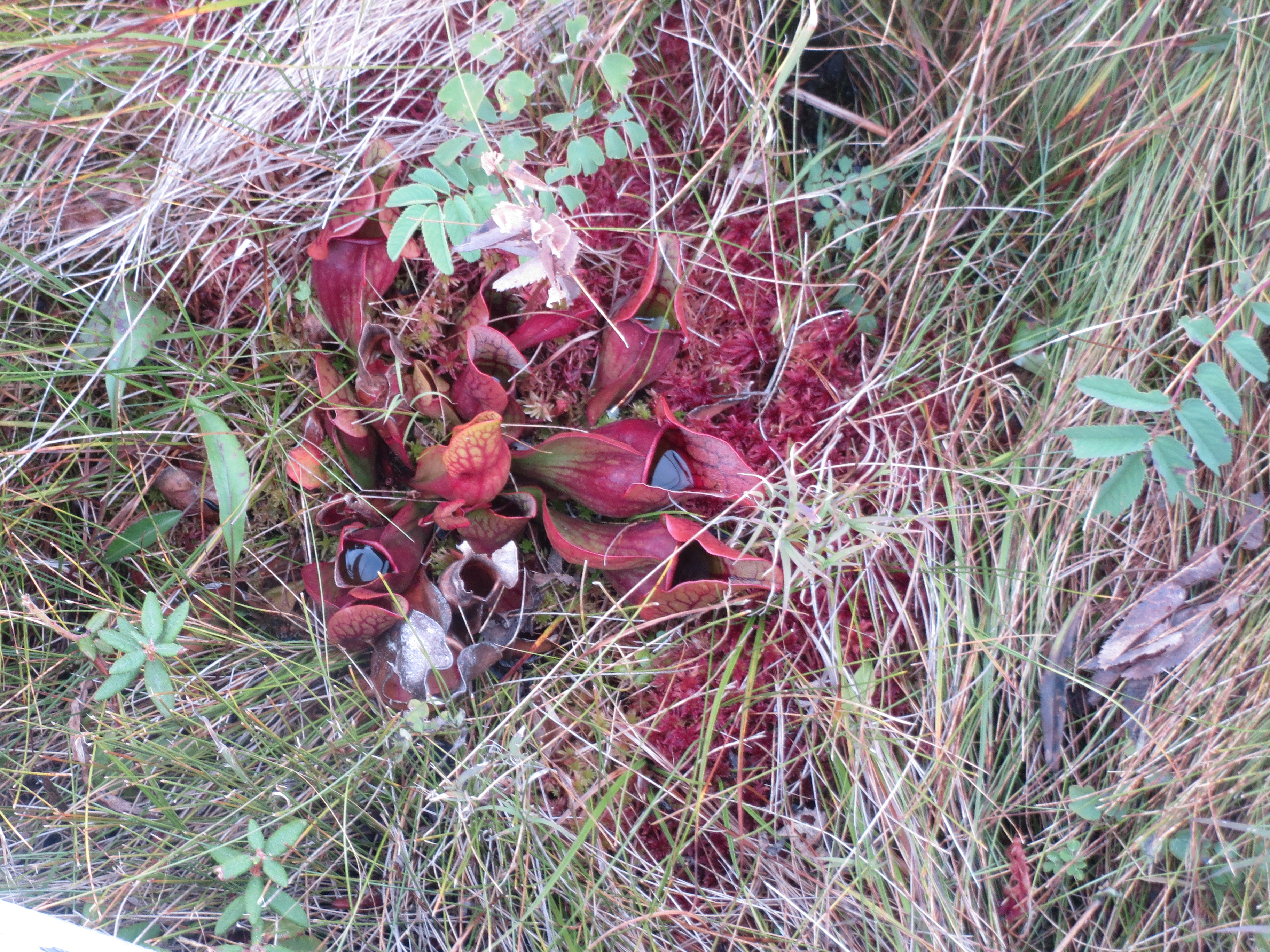
more pitcher plants |
more bog colors |
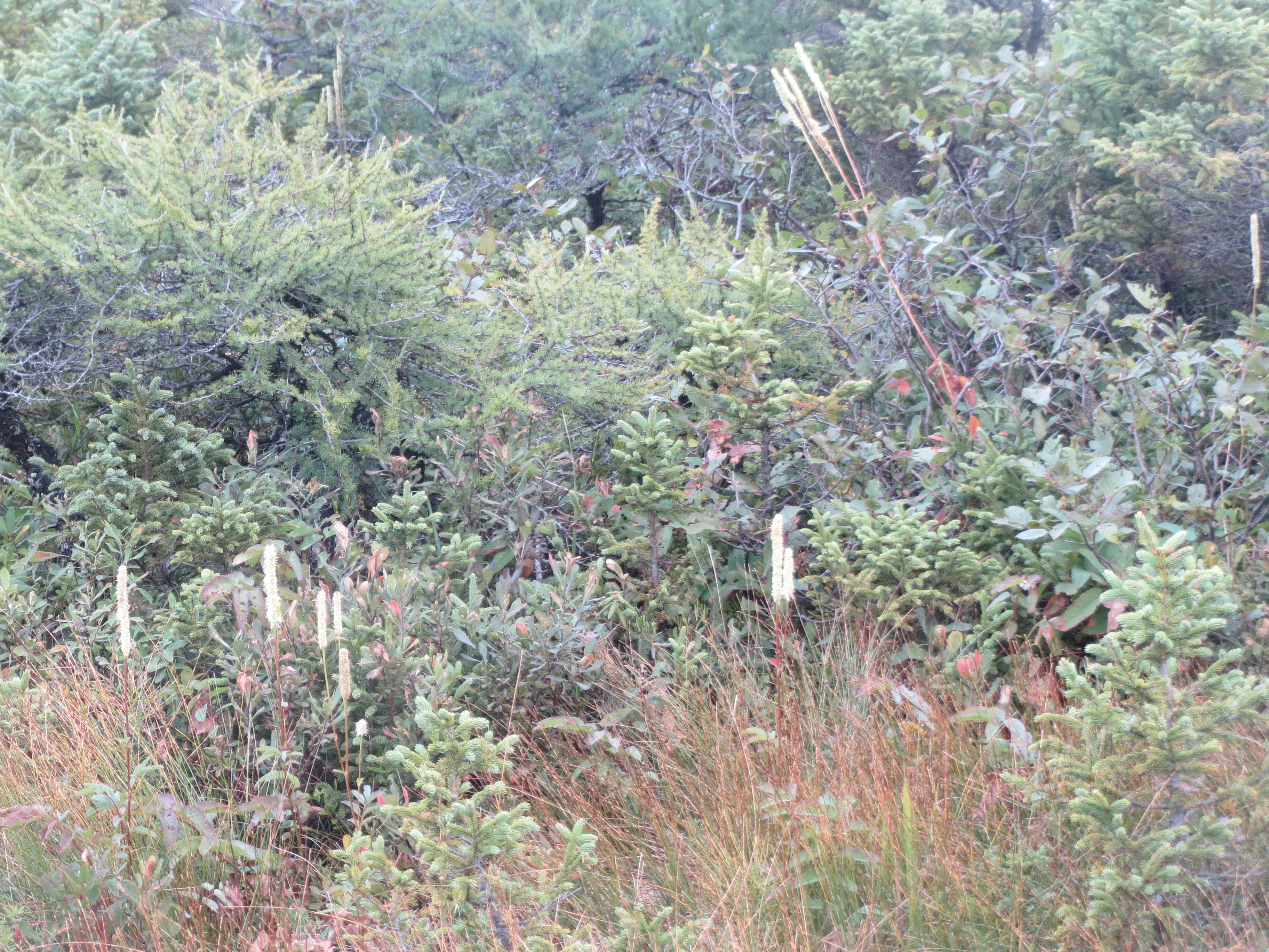
more bog plant life, including cottontails |
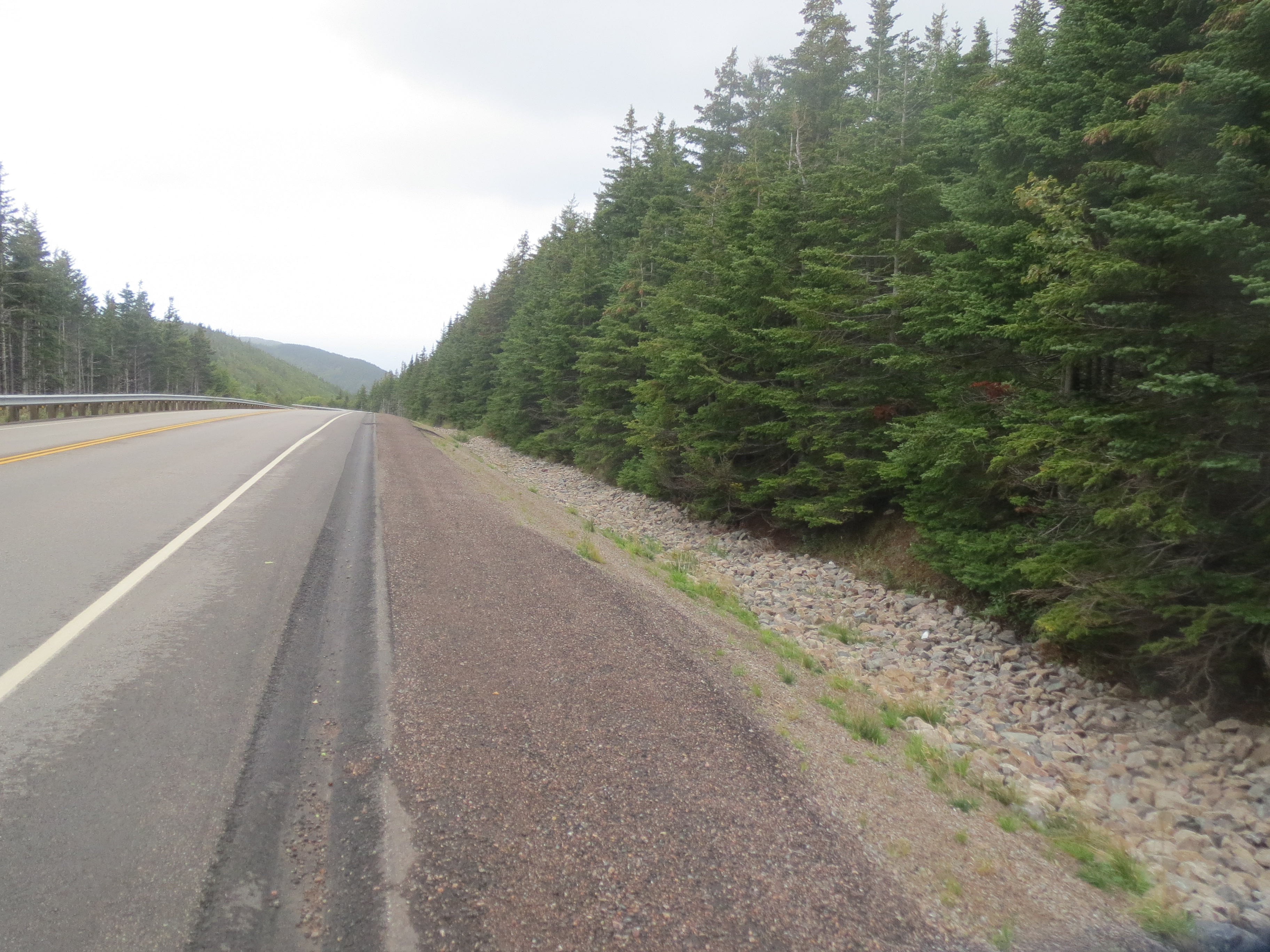
enough slacking, back on the road |
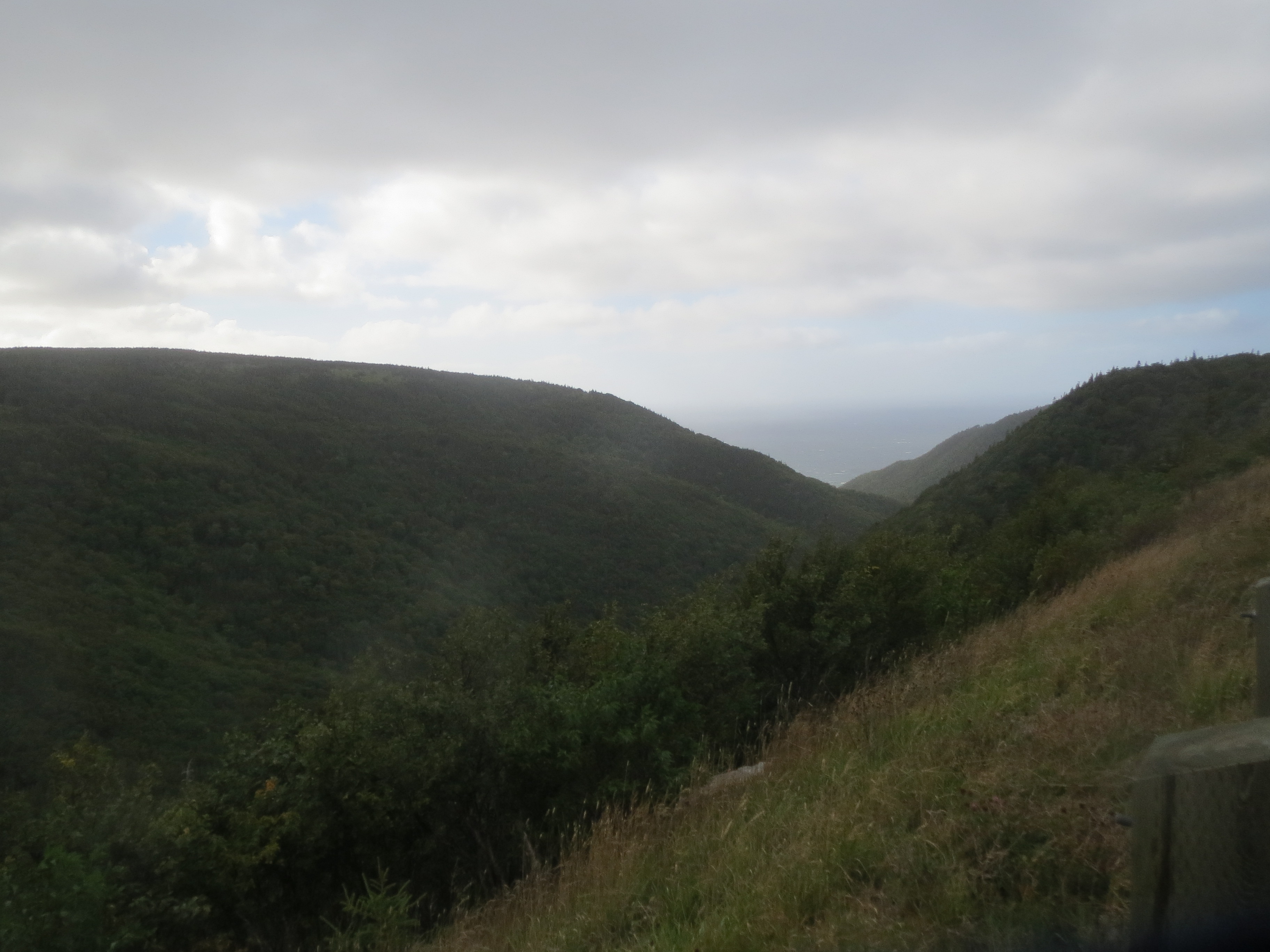
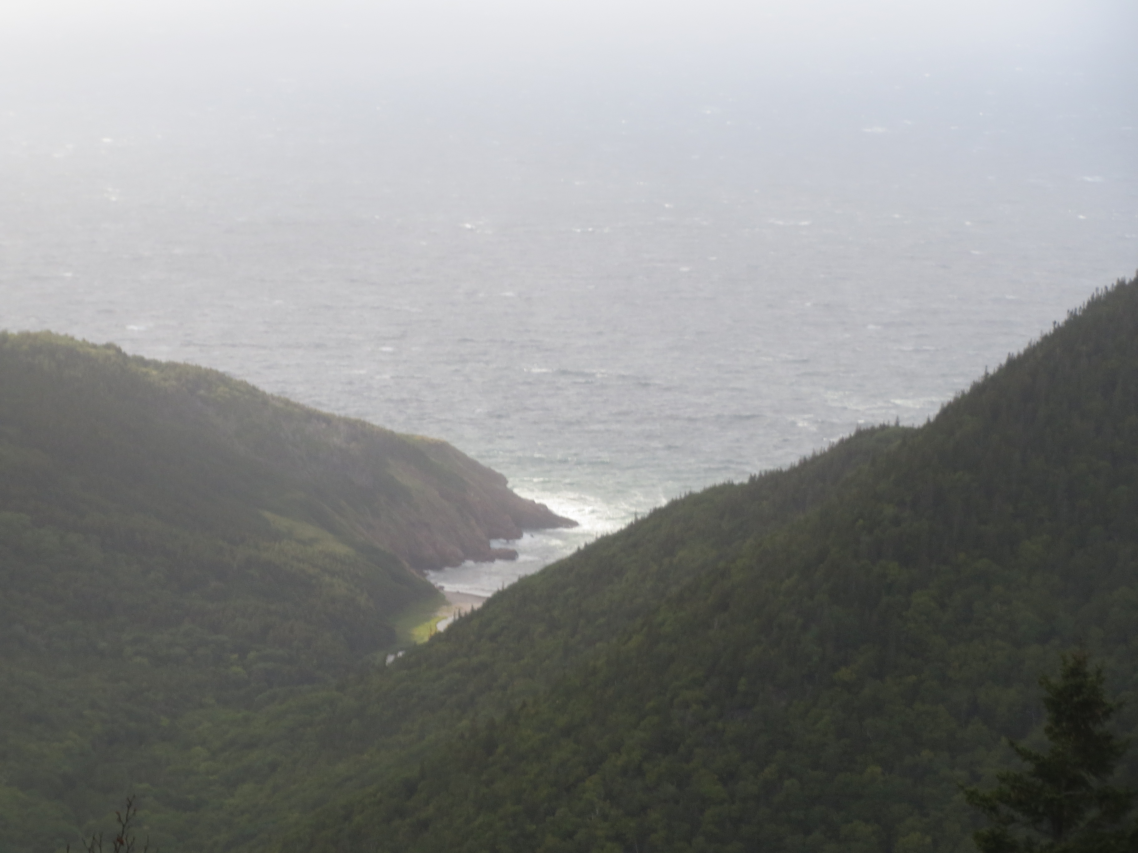
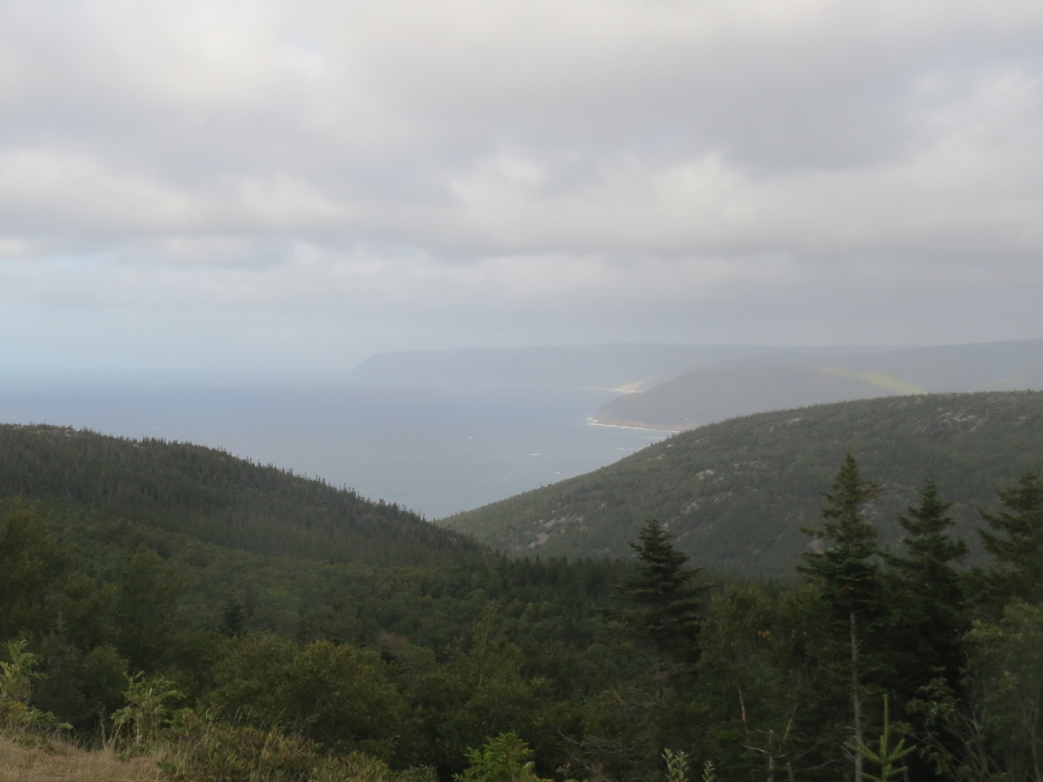
view down to the ocean past some ridges |
view up some ridges in the other direction |
Scott approaching |
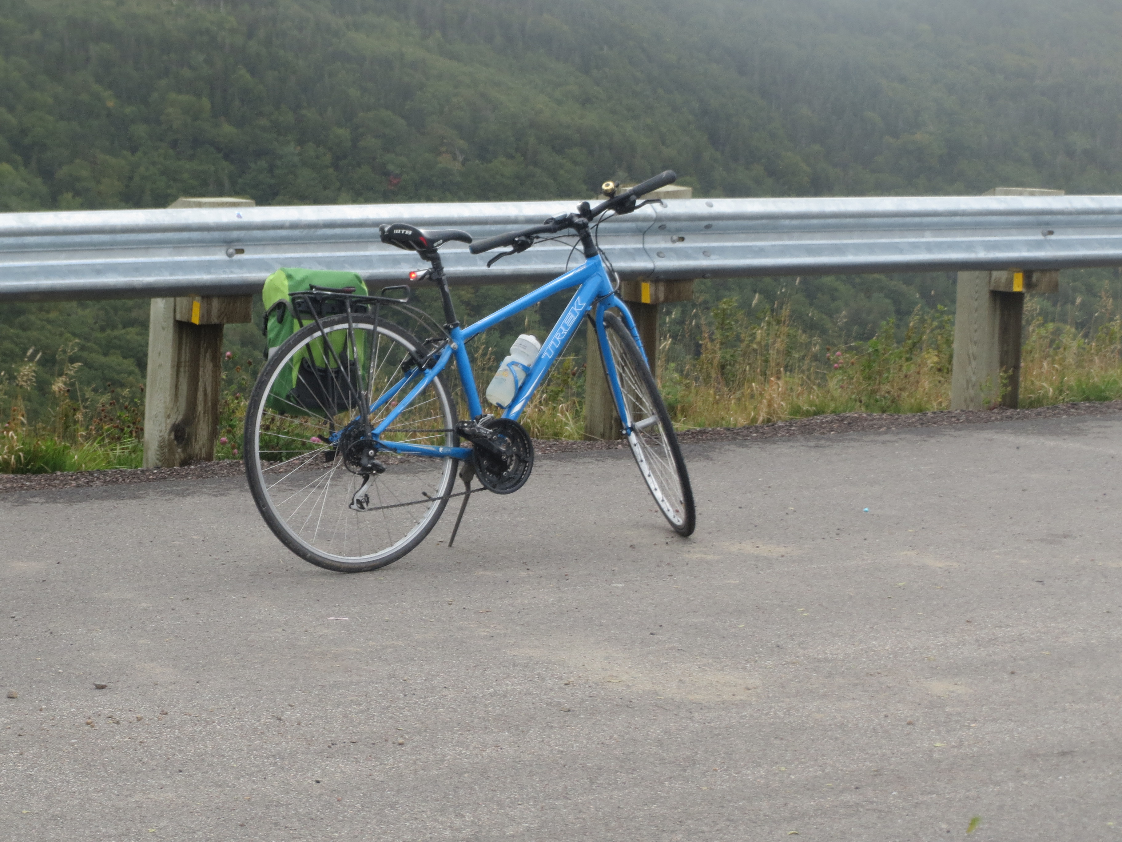
my bike is still on this trip |
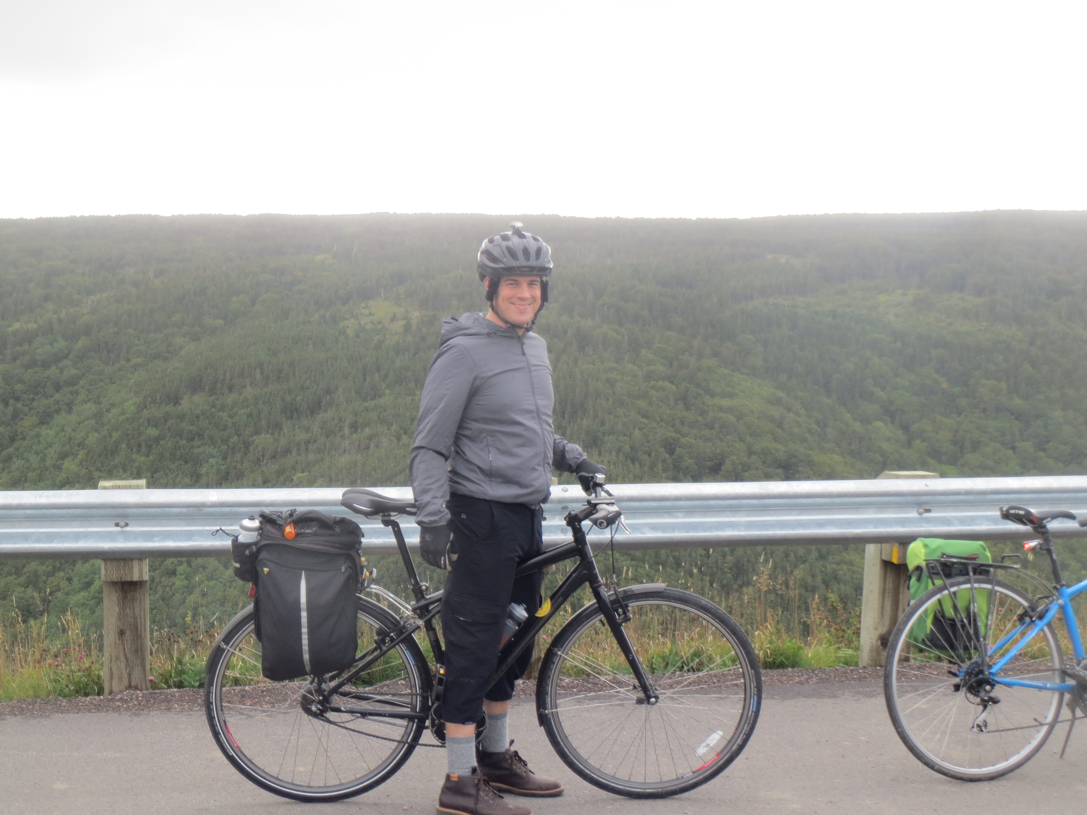
Scott is still on this trip |
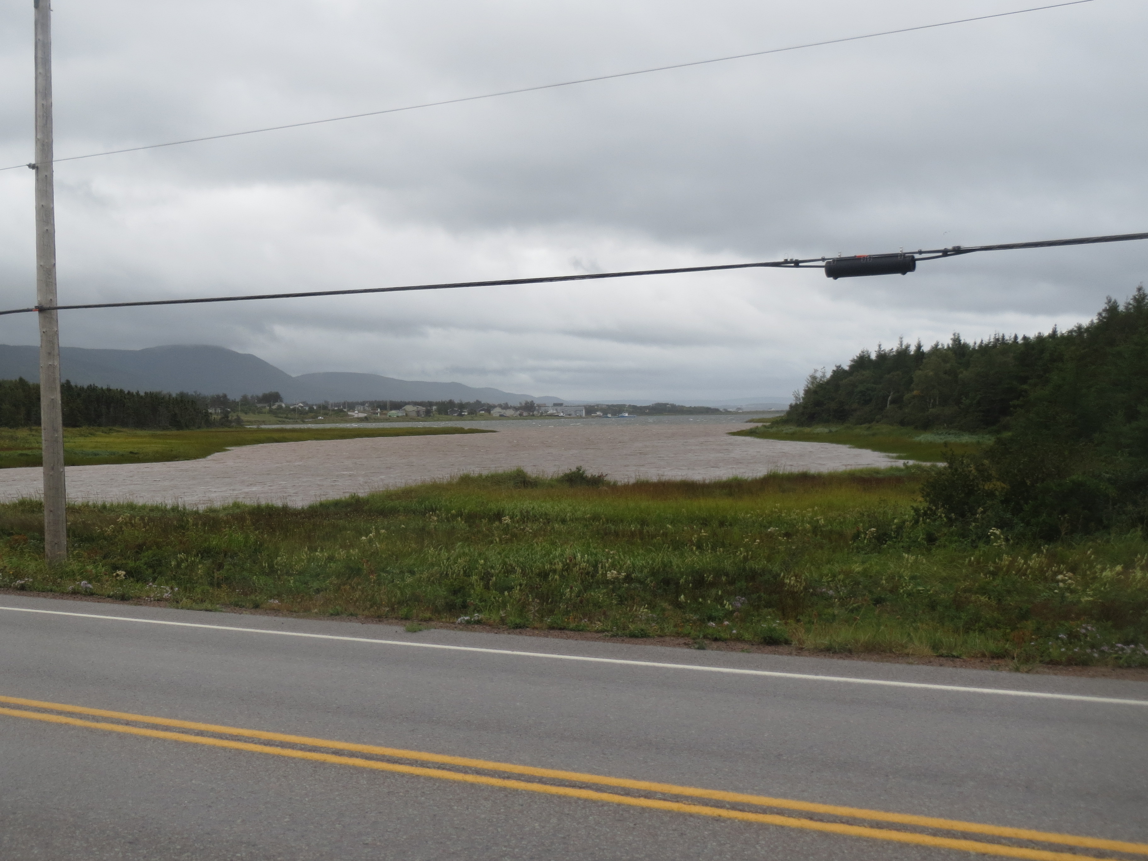
a river reaching the coast |
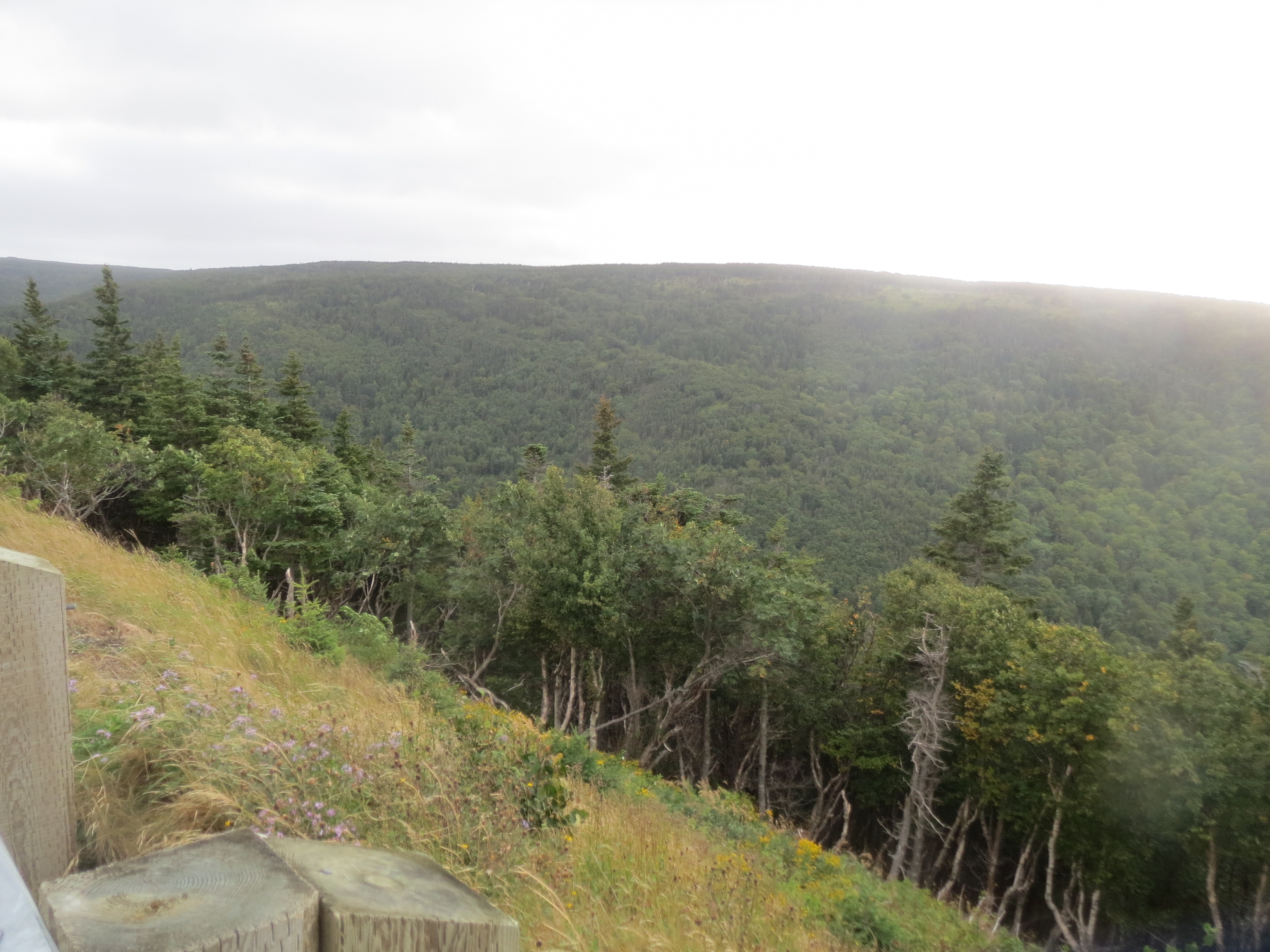
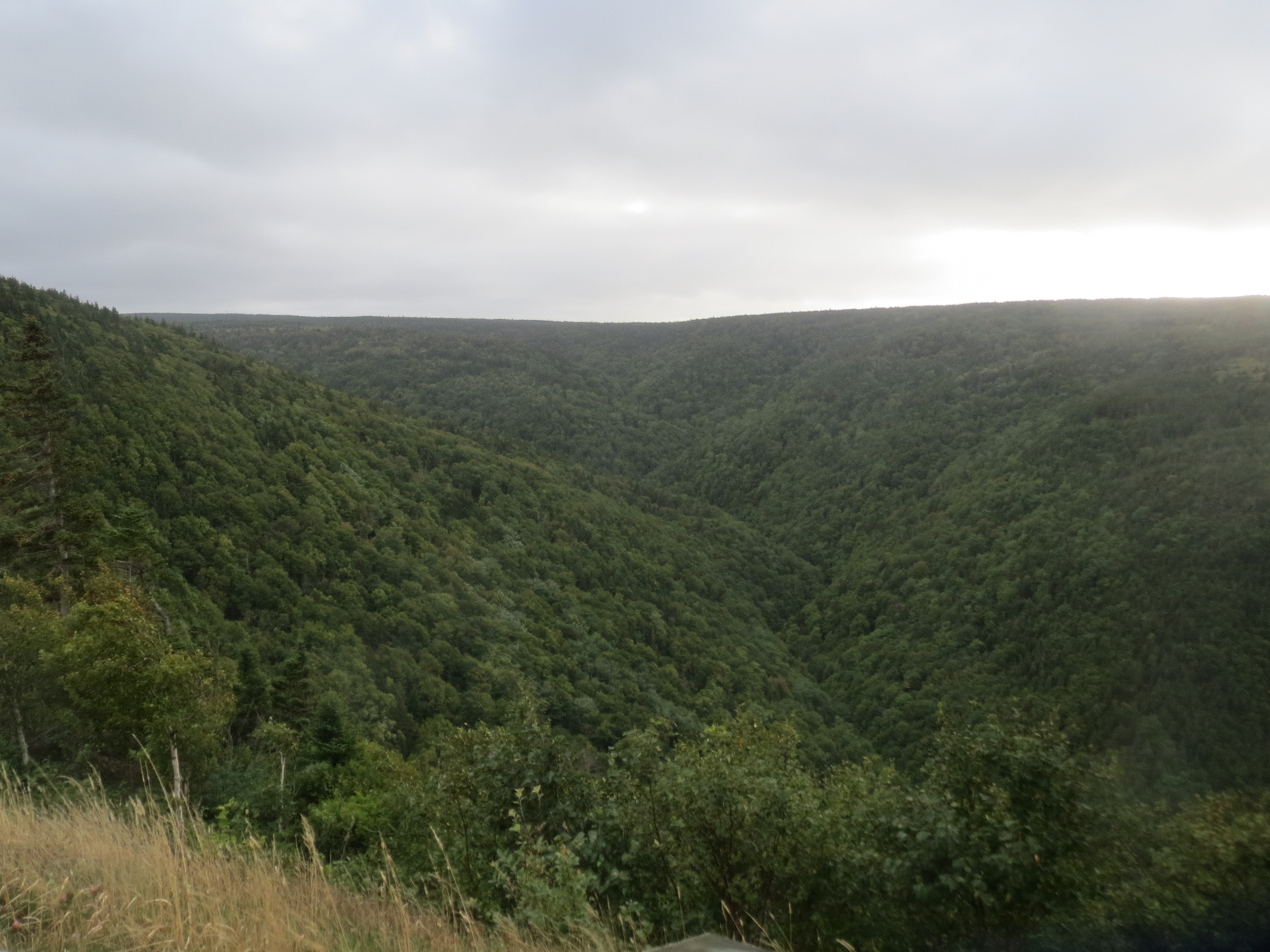
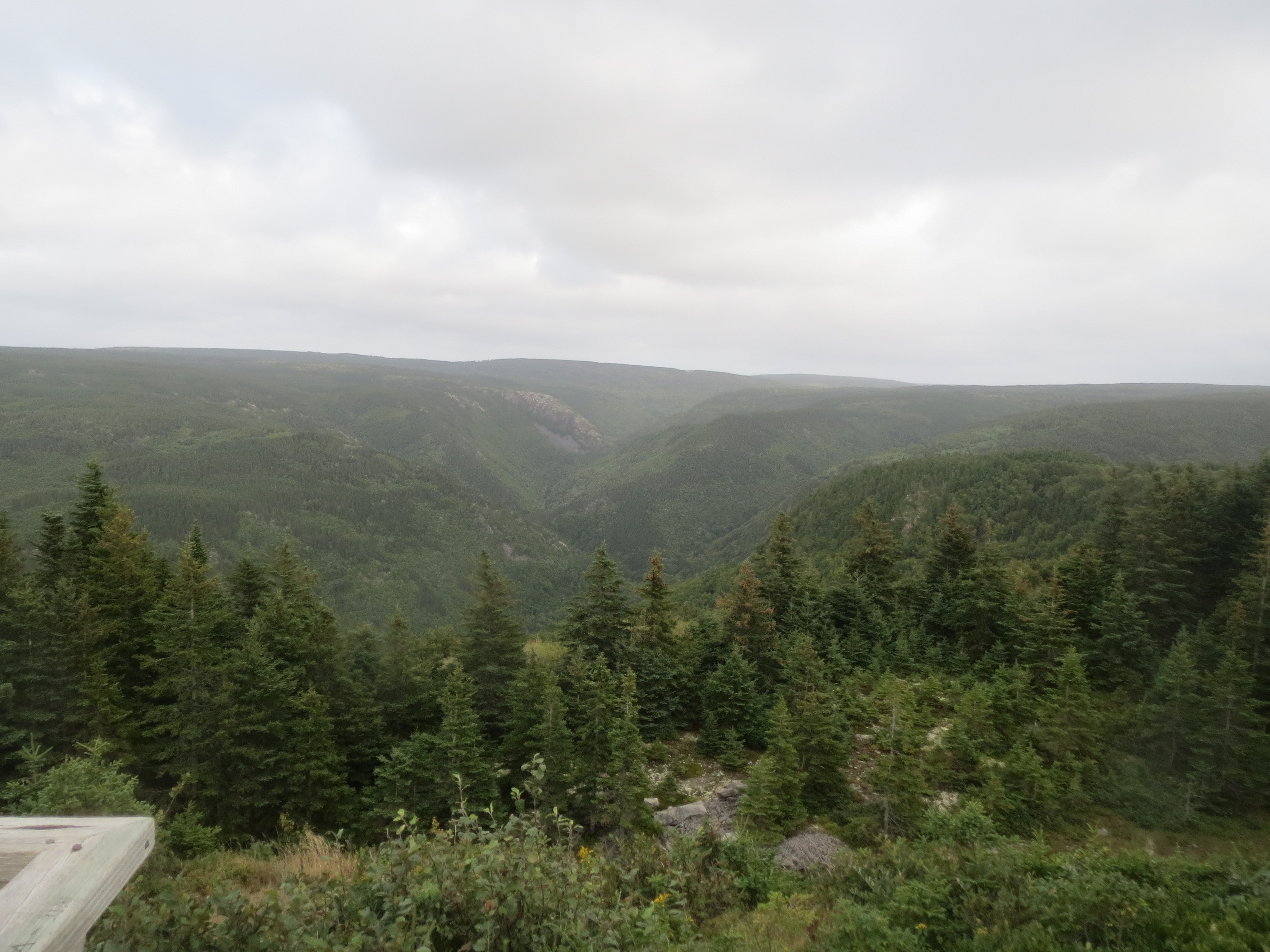
landscape |

that river reaching the coast again, now with more clouds |
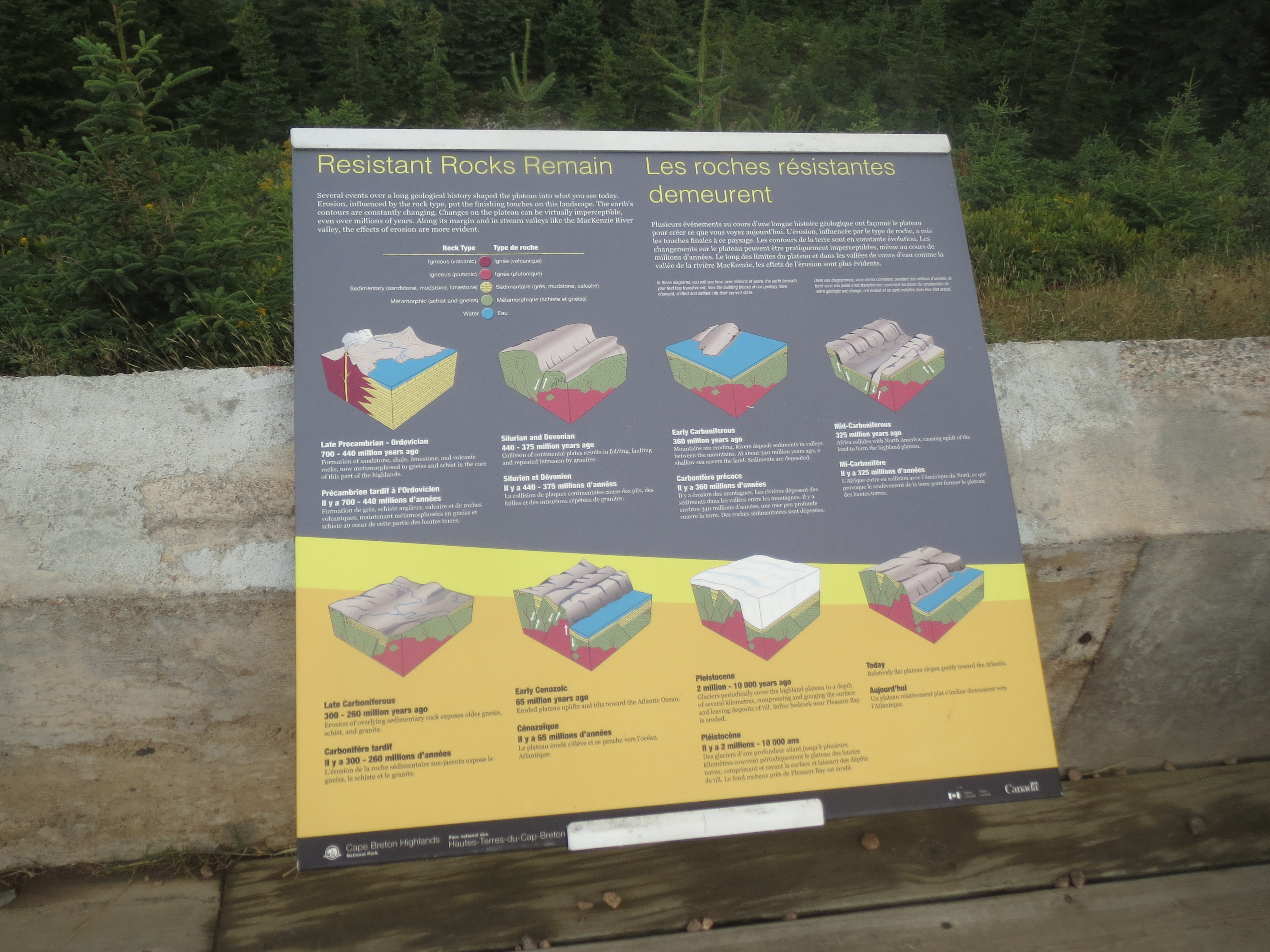
an informational sign explaining the topology of Cape Breton |
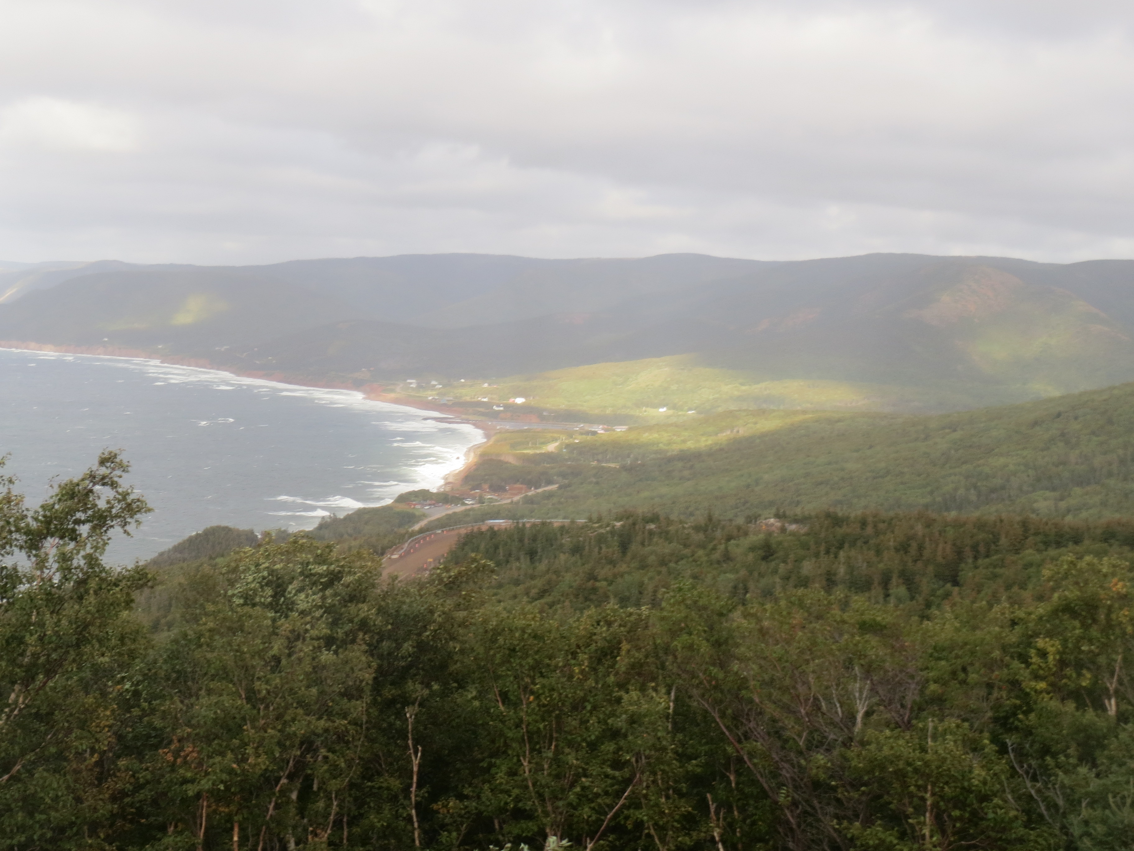
the sun made neat shadow patterns on the hills near the coast, but this is hard to see because of the clouds |
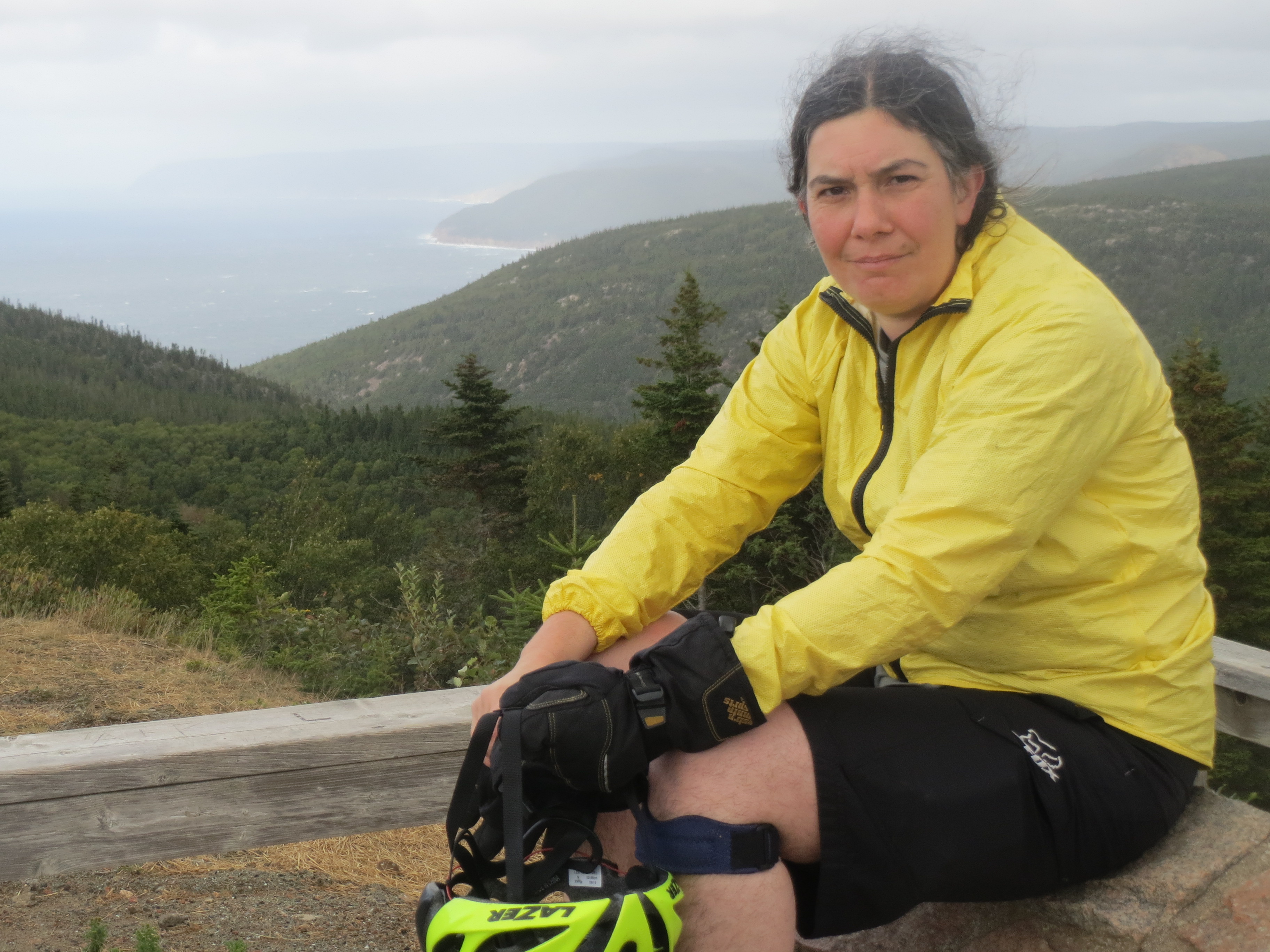
me, by a scenic overlook |
inland landscape |
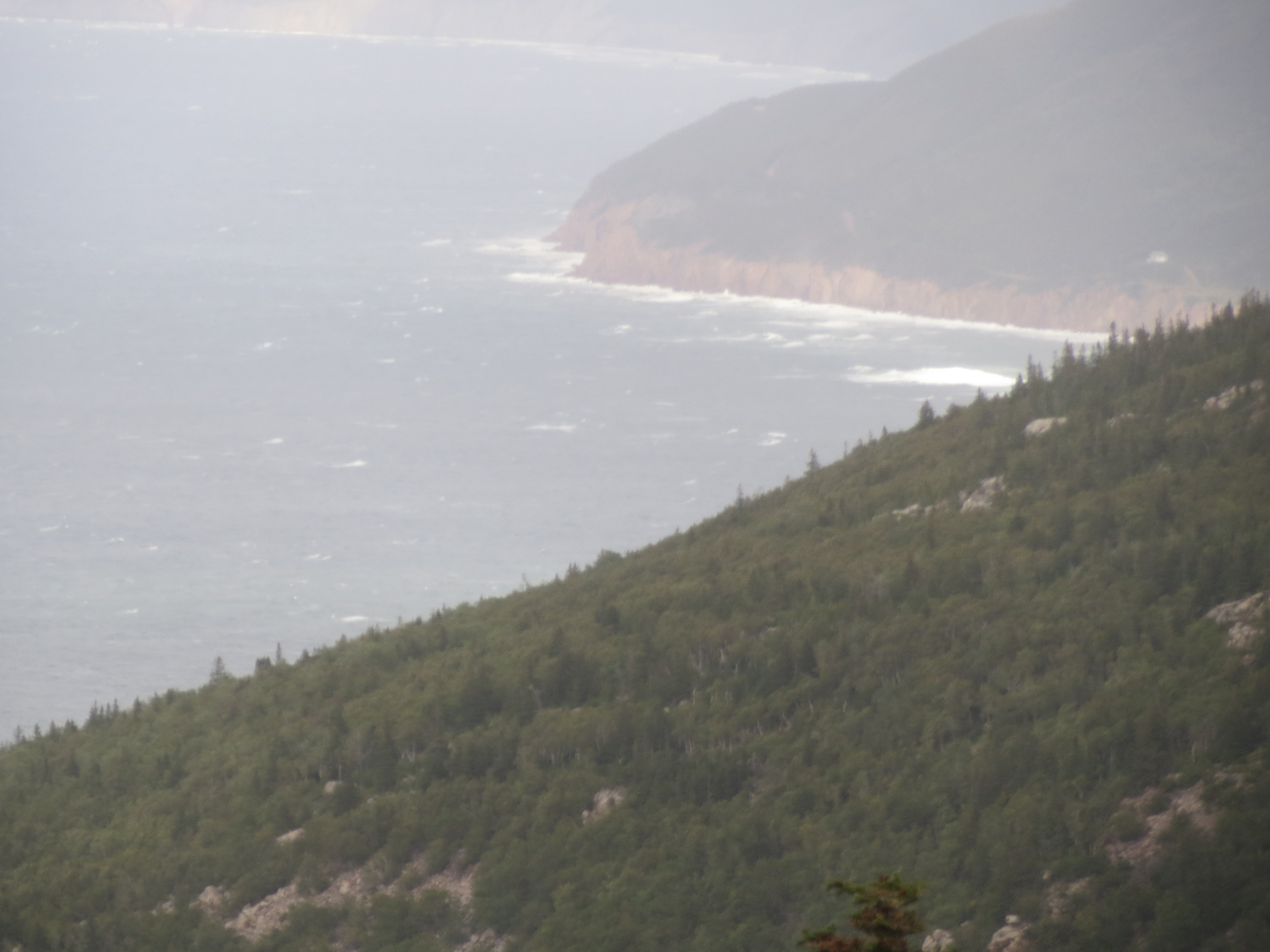
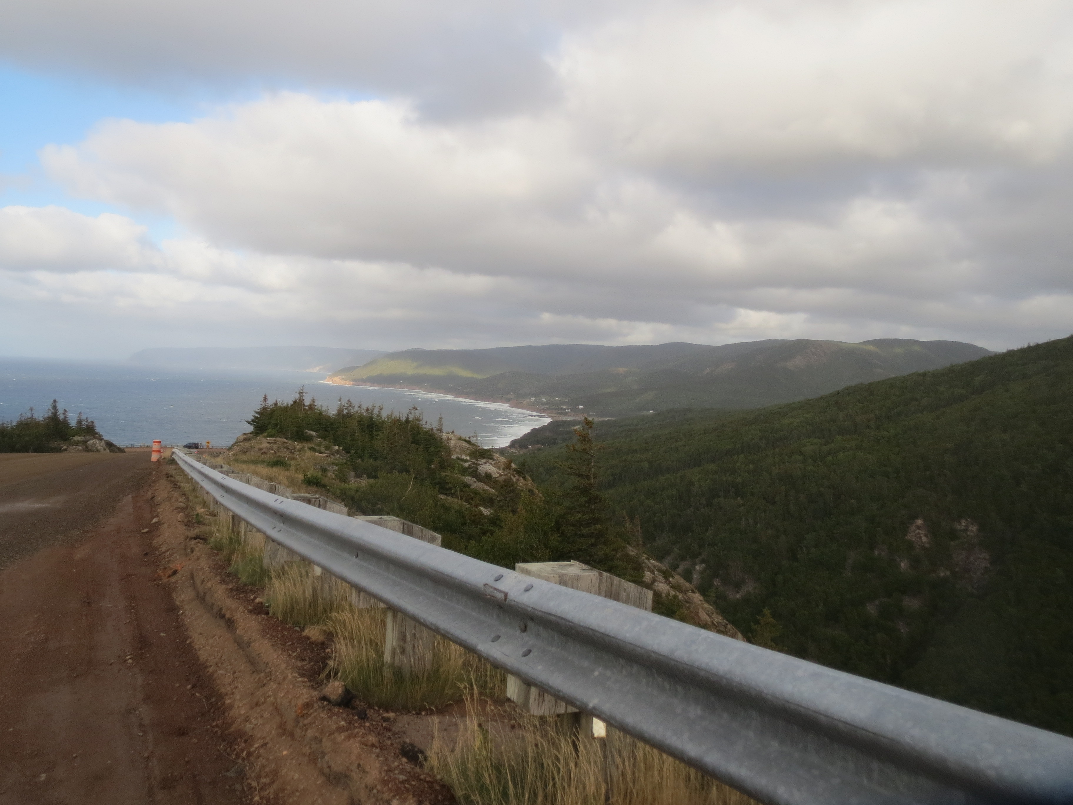
coast view while descending |
better coast view while descending |
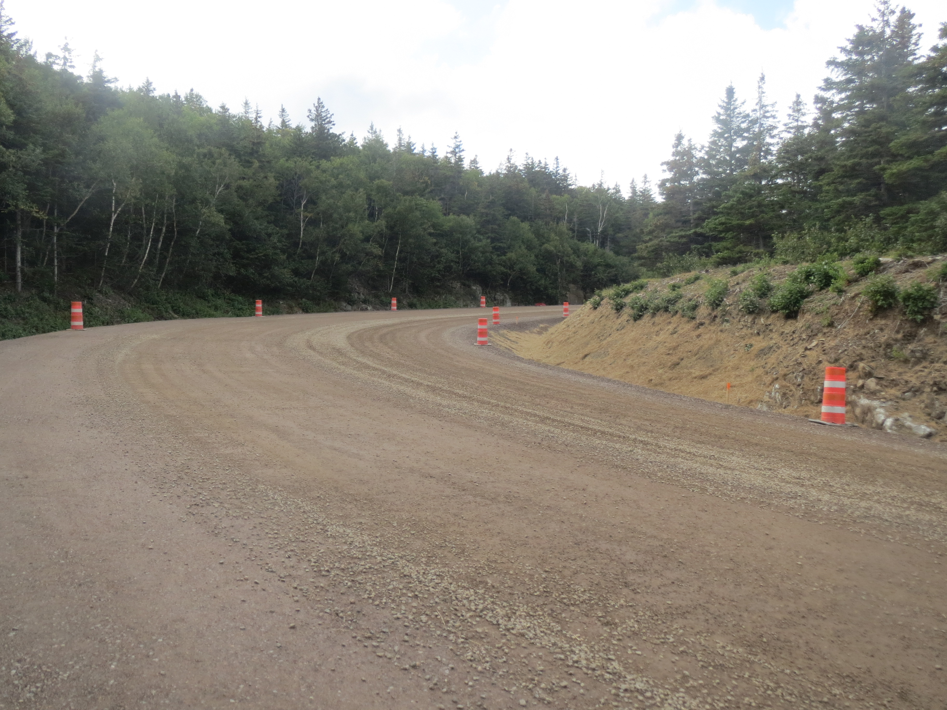
our descent was on this surface, which was both steep and unpaved and wasn't particularly awesome |
more coast view |
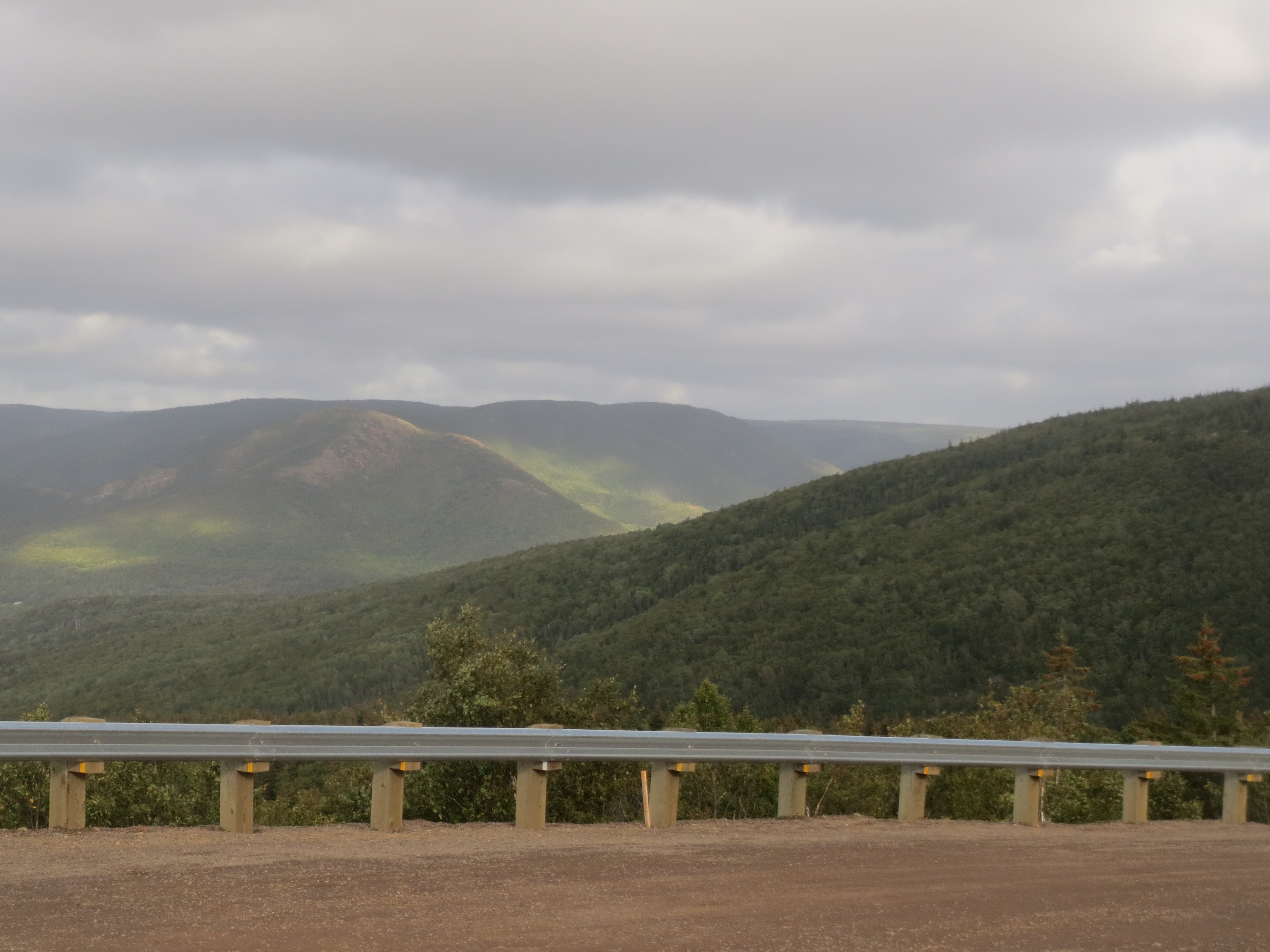
more inland mountain view |
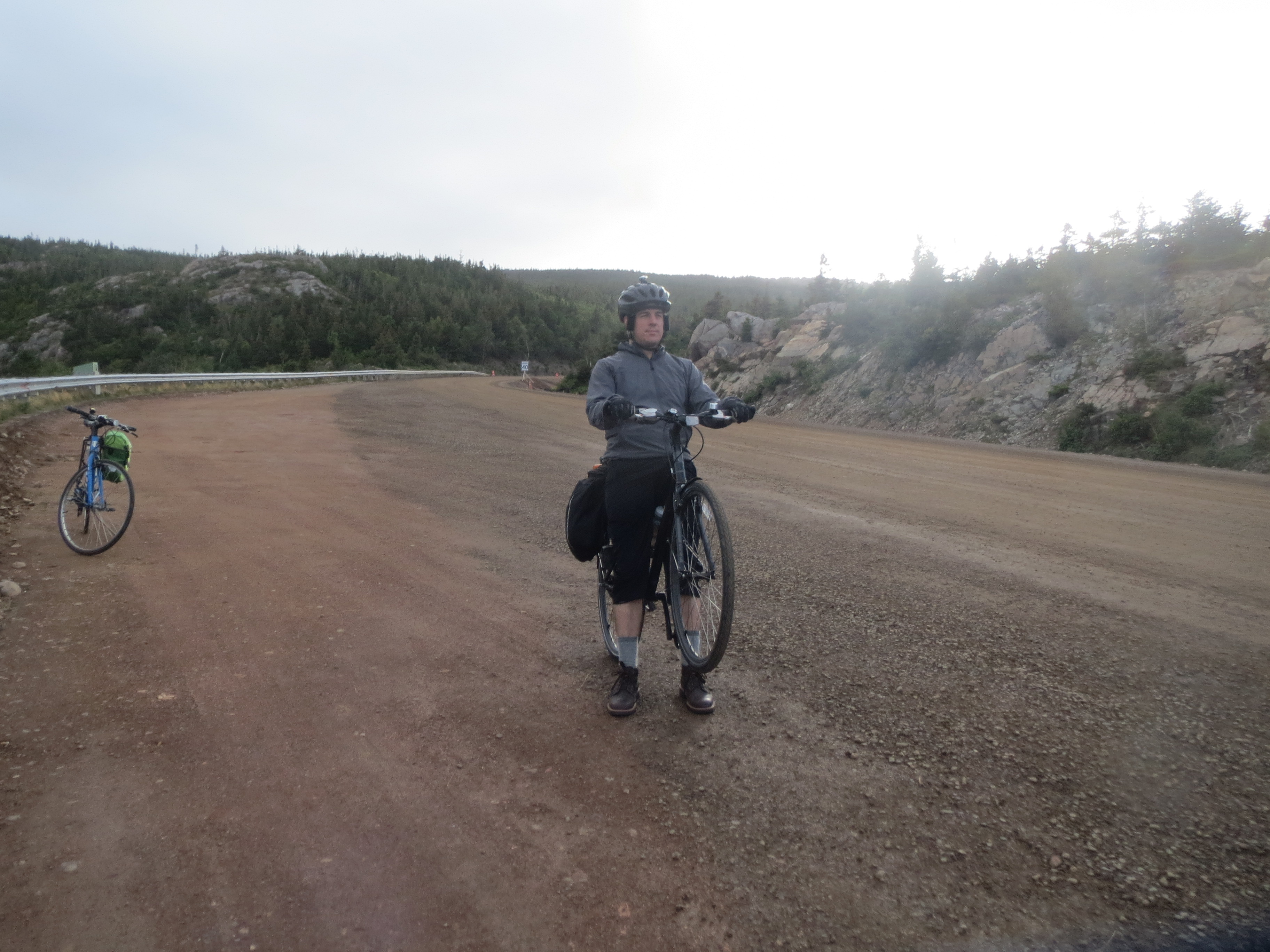
Scott demonstrating the incline |
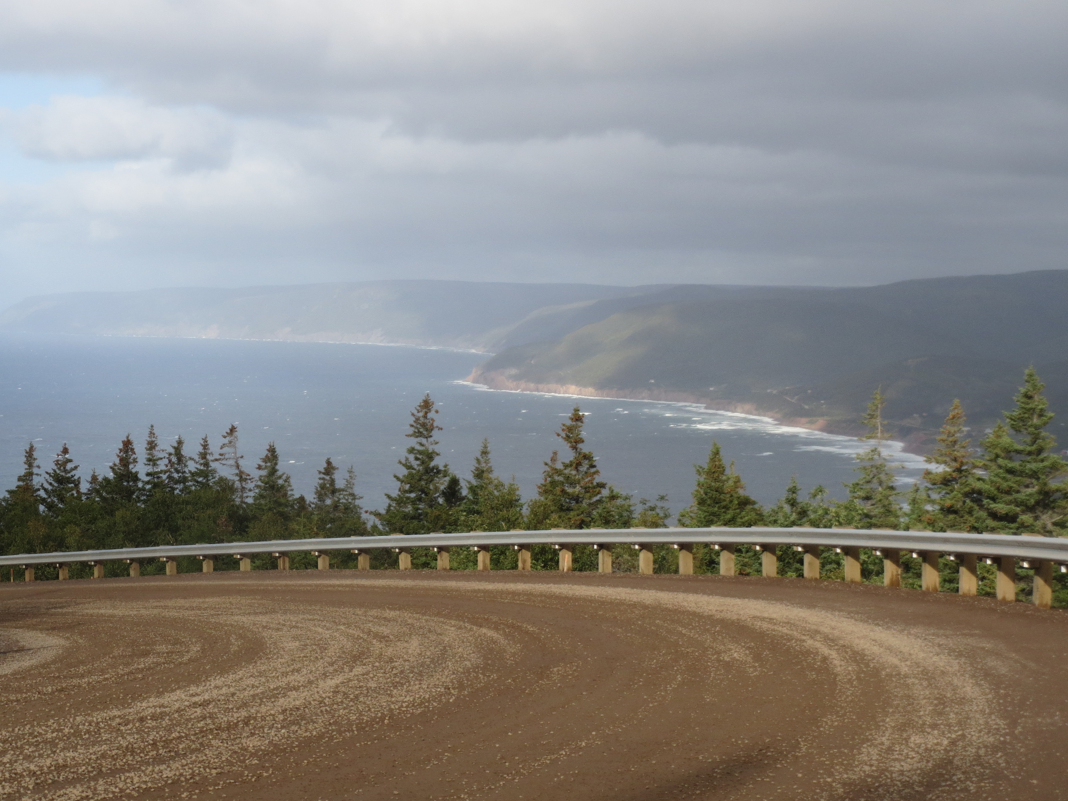
north along the coast; last corner! |
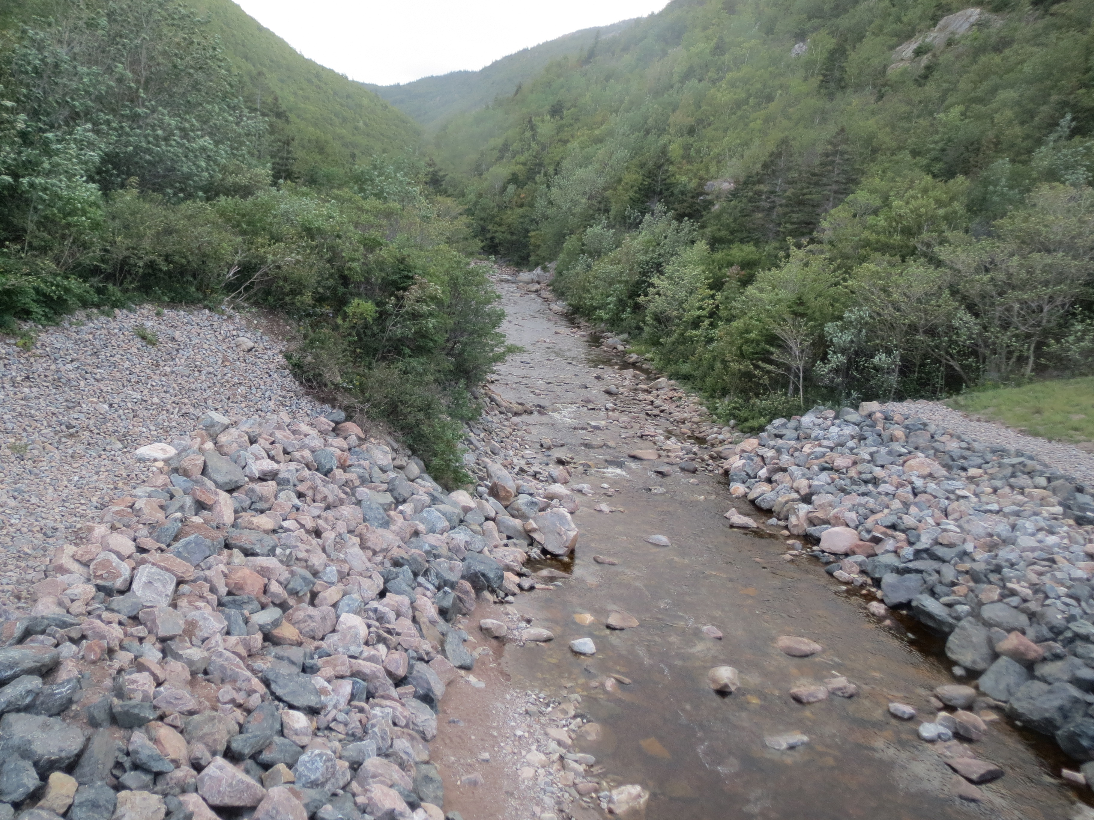
stream at the bottom of the descent |
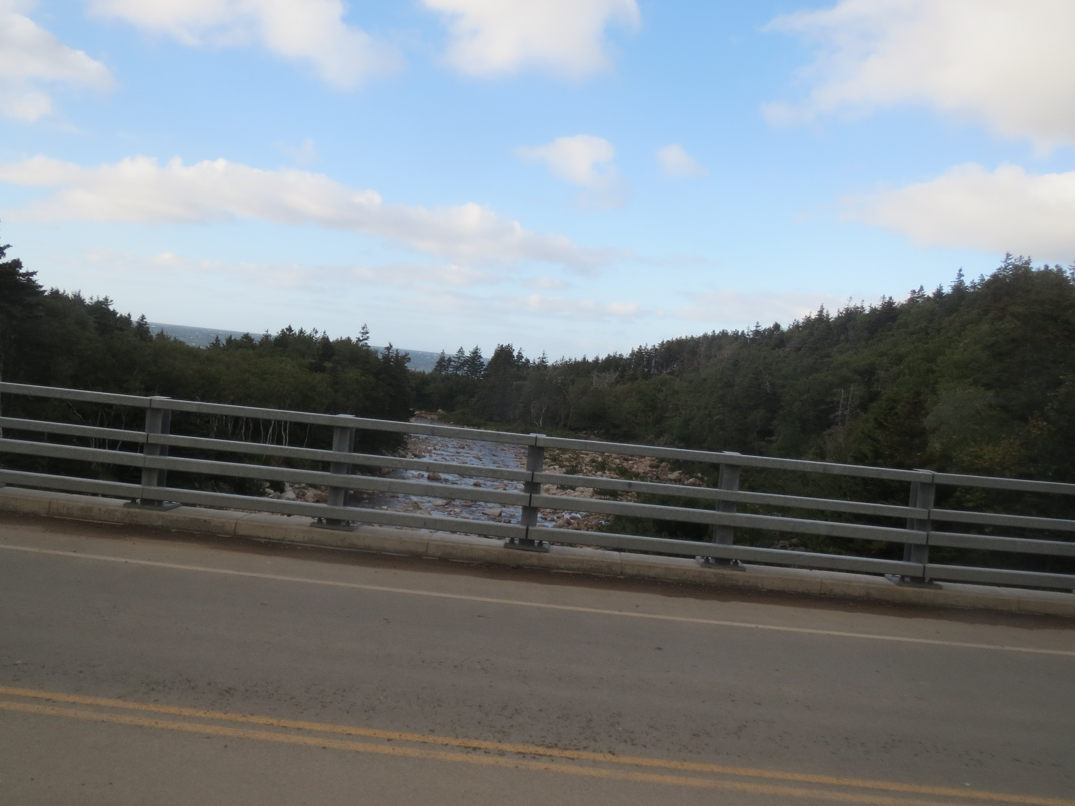
bridge over the stream, looking towards the coast |
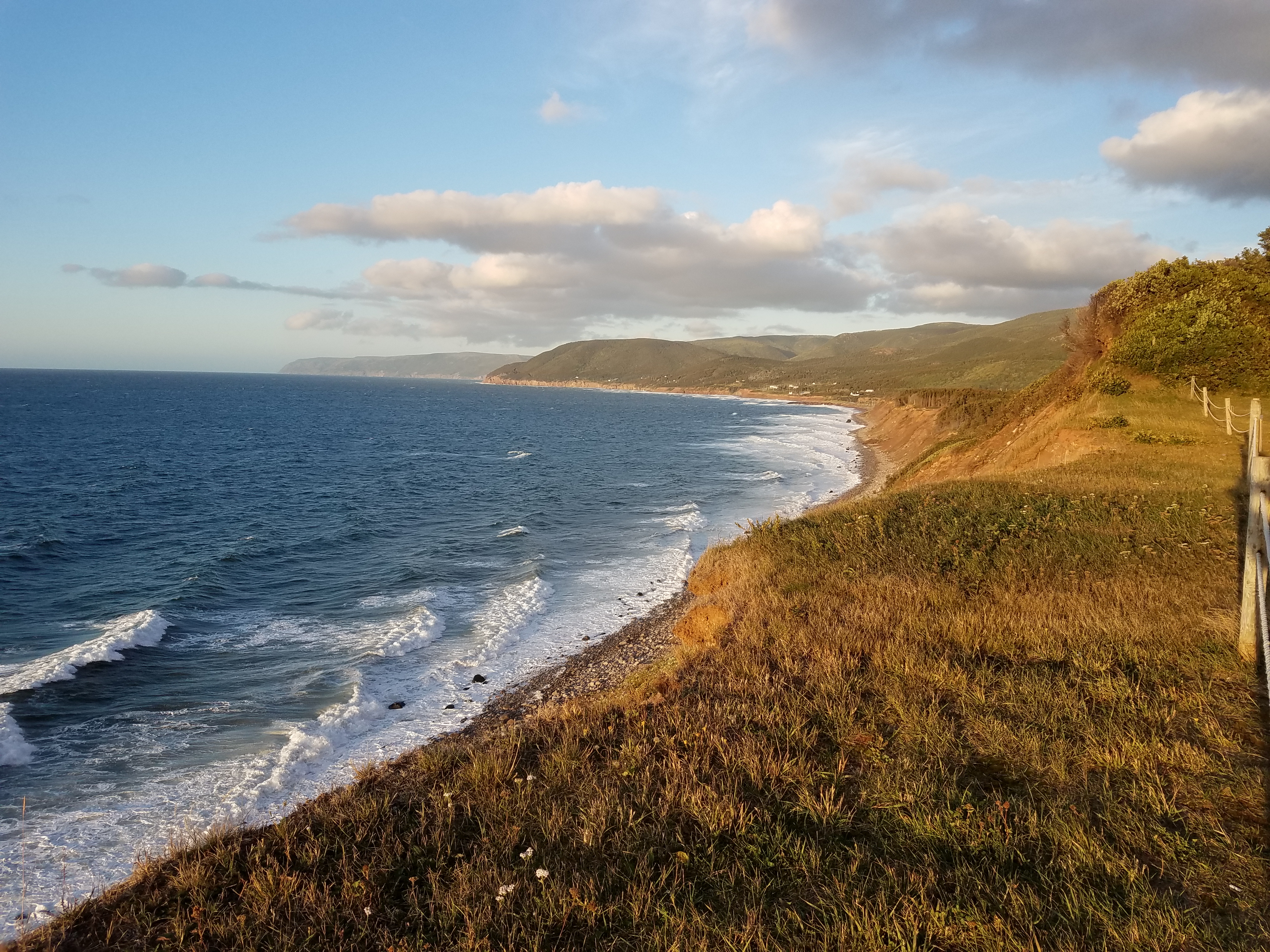
coast view |
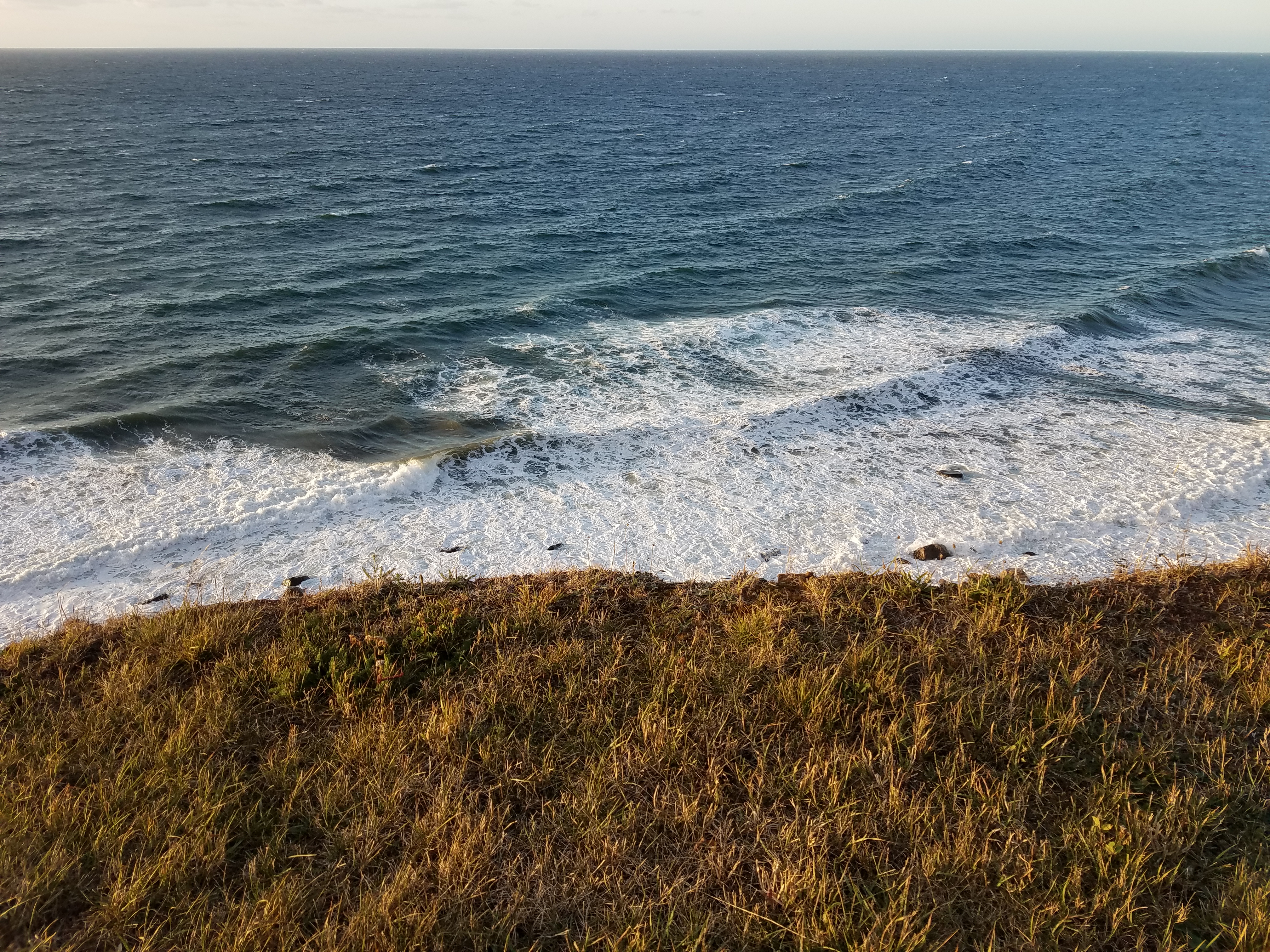
the ocean |
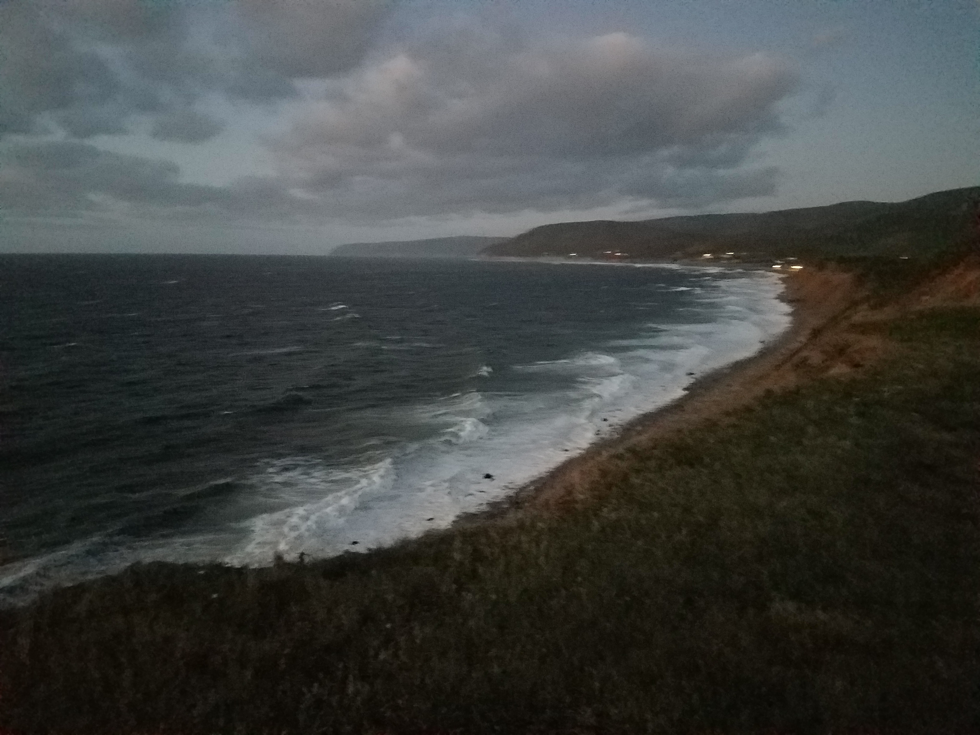
the beach at sunset, seen from the Rusty Anchor where we went for dinner after checking into our motel |
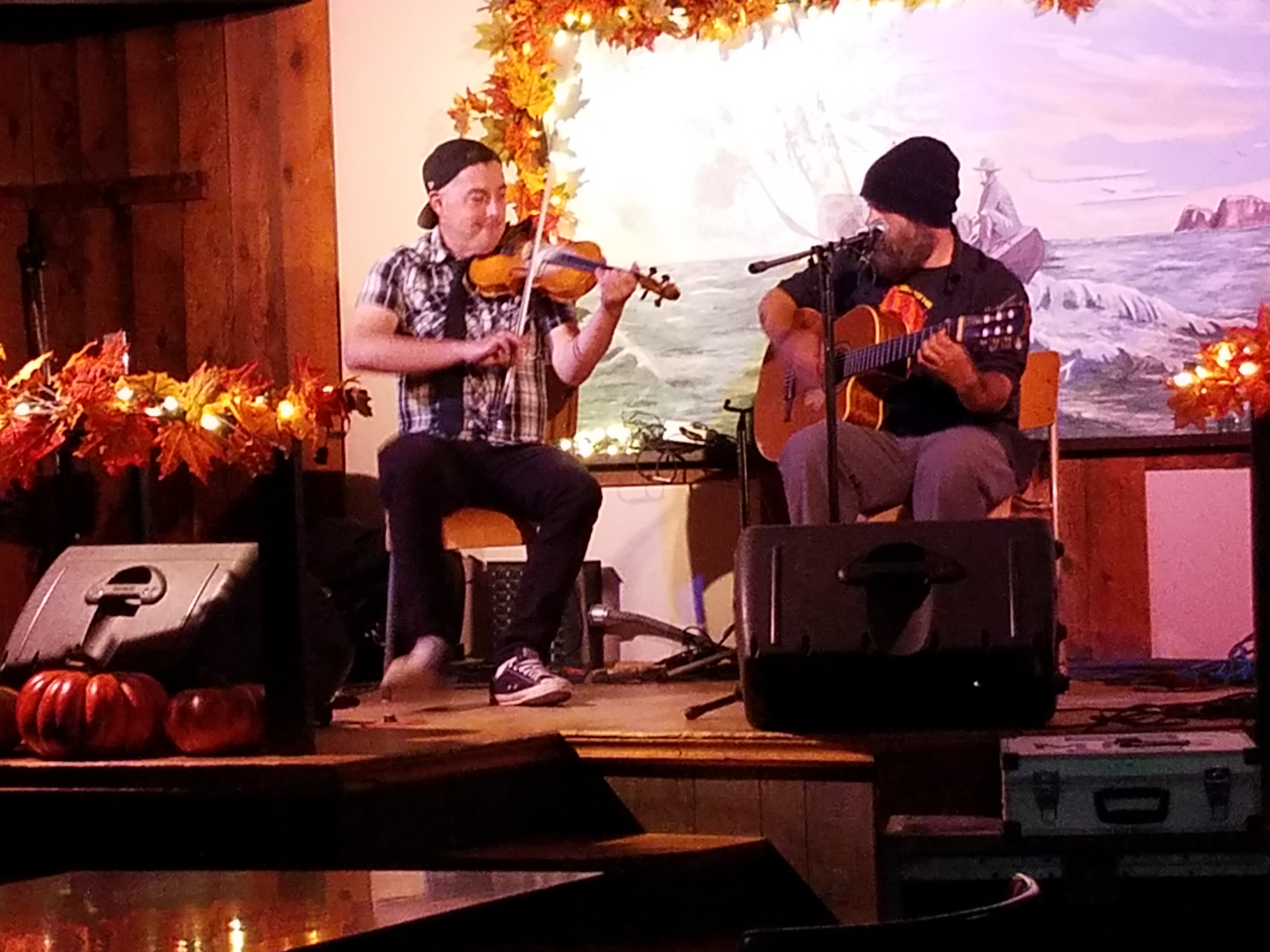
i told you to hold that thought; Scott and i drove back to the Doryman Pub after dinner to see the aforementioned show |

south along the coast in full darkness, when we stopped on the way back from the Doryman to look at stars |